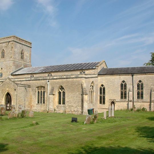
Merton, village and civil parish in Cherwell district, Oxfordshire, England
Location: Cherwell
Shares border with: Ambrosden, Chesterton, Wendlebury, Charlton-on-Otmoor, Fencott and Murcott, Arncott
Website: http://mertonvillage.co.uk
GPS coordinates: 51.85500,-1.16400
Latest update: March 6, 2025 07:03
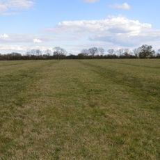
Wendlebury Meads and Mansmoor Closes
1.4 km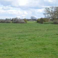
Arncott Bridge Meadows
3.3 km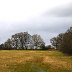
Woodsides Meadow
2.1 km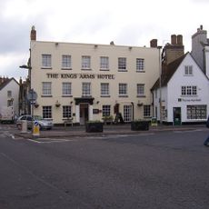
Kings Arms Hotel
4.7 km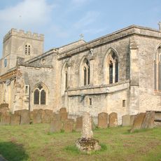
Church of St Mary the Virgin
3.1 km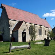
Church of St Giles
2.7 km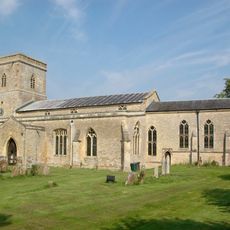
Church of St Swithin
128 m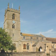
Church of St Mary the Virgin
2.4 km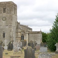
Church of St Mary, Chesterton
3.9 km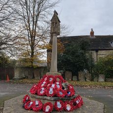
Bicester War Memorial
4.6 km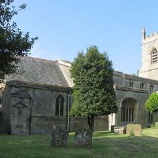
Church of St Edburg, Bicester
4.6 km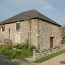
Methodist Chapel
3.4 km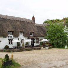
The Nut Tree Public House
2.3 km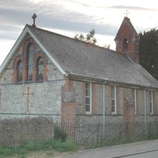
Murcott Mission Room
2.2 km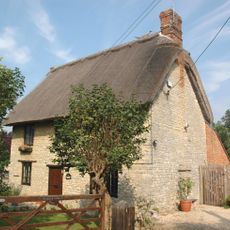
Holly Tree Cottage
2.9 km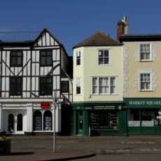
45 And 52, Market Square
4.8 km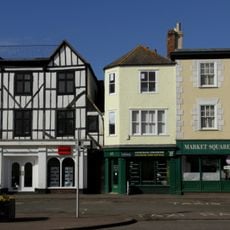
44, Market Square
4.8 km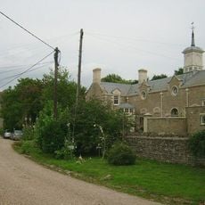
Chesterton Lodge Including Forecourt Balustrade Immediately West
3.7 km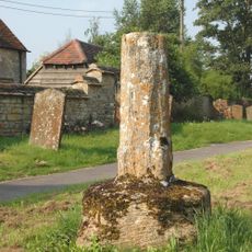
Ambrosden Cross
3.1 km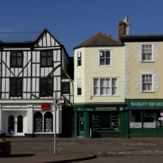
46, 48 And 51, Market Square
4.8 km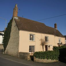
9, London Road
4.7 km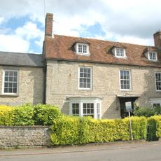
Park Farmhouse
3.1 km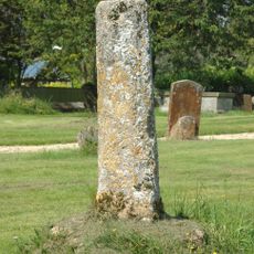
Church of St Swithun, Churchyard Cross Approximately 25 Metres to South East
117 m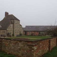
Merton Grounds Farmhouse
1.4 km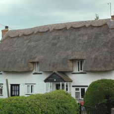
Miropa
3.4 km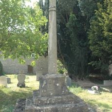
Churchyard Cross Approximately 5 Metres South West Of Church Of St Mary The Virgin
2.4 km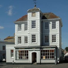
47, Market Square
4.7 km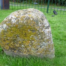
Milestone, S end of village 30m E of sharp bend, by village Hall
2.4 kmReviews
Visited this place? Tap the stars to rate it and share your experience / photos with the community! Try now! You can cancel it anytime.
Discover hidden gems everywhere you go!
From secret cafés to breathtaking viewpoints, skip the crowded tourist spots and find places that match your style. Our app makes it easy with voice search, smart filtering, route optimization, and insider tips from travelers worldwide. Download now for the complete mobile experience.

A unique approach to discovering new places❞
— Le Figaro
All the places worth exploring❞
— France Info
A tailor-made excursion in just a few clicks❞
— 20 Minutes
