
East Walton, village and civil parish in Norfolk, UK
Location: King's Lynn and West Norfolk
GPS coordinates: 52.71125,0.58133
Latest update: March 6, 2025 14:54
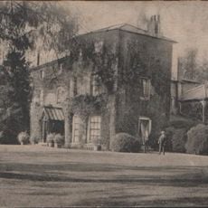
Gayton Hall
3.5 km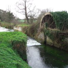
Narborough Bone Mill
3.5 km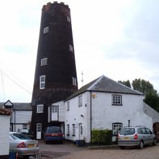
Gayton Windmill
3.7 km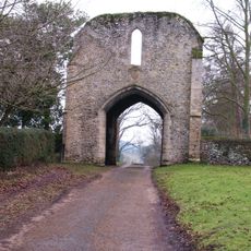
West Acre Priory
3.6 km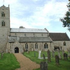
St Nicholas' Church
3.8 km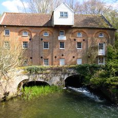
Narborough Watermill
2.6 km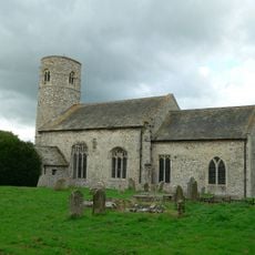
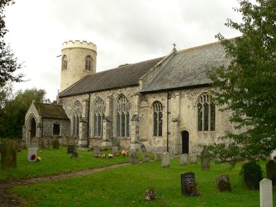
Church of St Mary
2.8 km
Westacre Theatre
3.5 km
Church of All Saints
3.6 km
Church of St Mary
2.8 km
Church of St Mary
420 m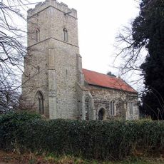
Church of St Cecilia
2.8 km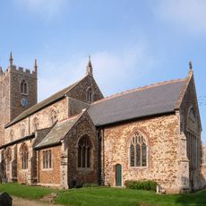
Church of All Saints
5.4 km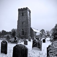
Church of St Mary Magdalene
3 km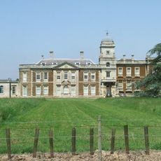
Narford Hall
3 km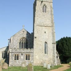
Church of All Saints
2.8 km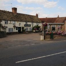
The Crown Inn
3.8 km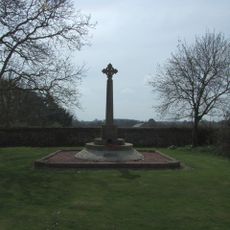
West Acre and District War Memorial
3.6 km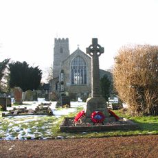
Narborough War Memorial Cross
2.8 km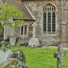
Ashwicken, Bawsey and Leziate War Memorial
5.6 km
Narborough Hall
2.6 km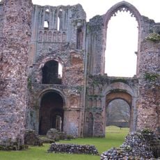
Remains Of Base Of South West Tower And Part Of West Claustral Range Of West Acre Priory, 20 Metres East Of Abbey Farm House
3.7 km
Wheelwright's Oven At Tf 7428 1678
1.1 km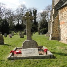
Pentney War Memorial
3.1 km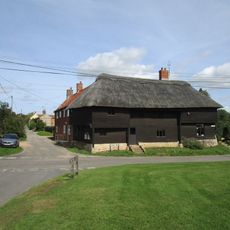
The Wooden House
3.5 km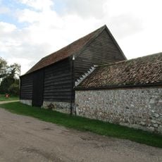
Barn At Gatehouse Farm Circa 50 Metres West Of Church Of St Mary
2.8 km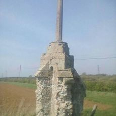
Wayside cross 190m south west of Crossgates Farm
3.7 km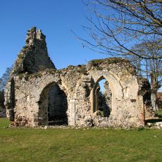
Remains of St Andrew's Church
482 mReviews
Visited this place? Tap the stars to rate it and share your experience / photos with the community! Try now! You can cancel it anytime.
Discover hidden gems everywhere you go!
From secret cafés to breathtaking viewpoints, skip the crowded tourist spots and find places that match your style. Our app makes it easy with voice search, smart filtering, route optimization, and insider tips from travelers worldwide. Download now for the complete mobile experience.

A unique approach to discovering new places❞
— Le Figaro
All the places worth exploring❞
— France Info
A tailor-made excursion in just a few clicks❞
— 20 Minutes