
Emberton, village and civil parish in Buckinghamshire, UK
Location: City of Milton Keynes
GPS coordinates: 52.13600,-0.70800
Latest update: March 6, 2025 18:23
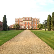
Chicheley Hall
4.1 km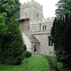
St Mary's Church, Hardmead
5.3 km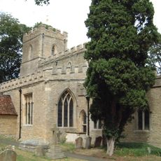
Parish Church of St Mary
2.4 km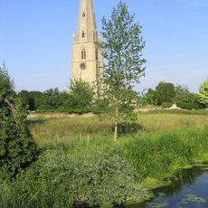
Church of Saints Peter and Paul
1.6 km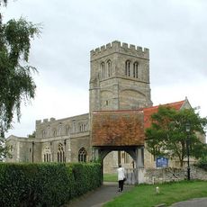
Church of St Laud
2.7 km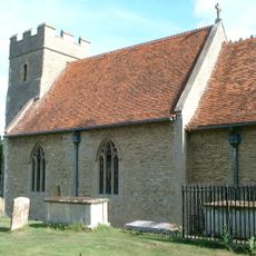
Church of St Mary
5.2 km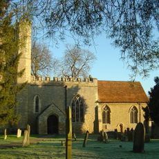
Church of St Nicholas
4.6 km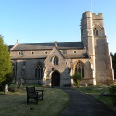
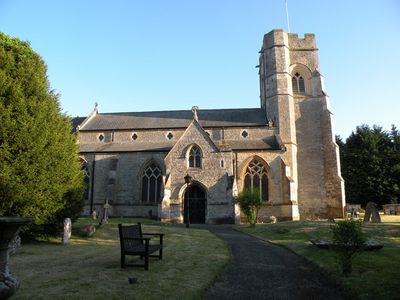
Church of All Saints
44 m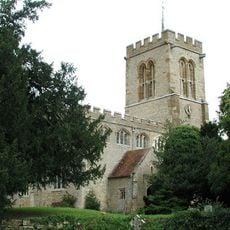
Church of St Lawrence, Chicheley
4.1 km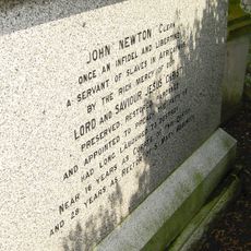
Tomb of John and Mary Newton
1.6 km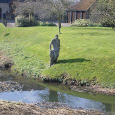
Statue of Jonah
6.1 km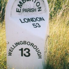
Milepost, Newport Road; new section S of Emberton village
692 m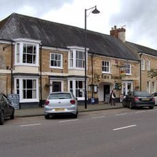
Two Brewers Public House
2.1 km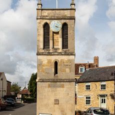
Memorial Clock Tower
120 m
Lavendon War Memorial
5.2 km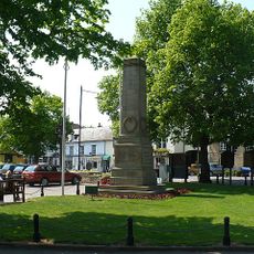
Olney War Memorial
2 km
Gilpin House Orchard Side Cowper And Newton Museum
1.9 km
Westlands (Including Garden Wall To Spring Lane)
2 km
1, East Street
1.9 km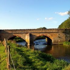
Turvey Bridge
6 km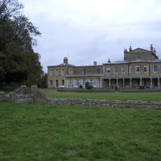
Brayfield House
5 km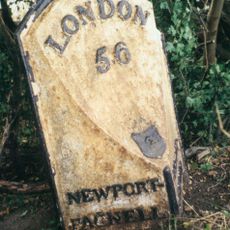
Milepost, Warrington Road; N of Olney, 300m N of Longland Farm, on bend
3.8 km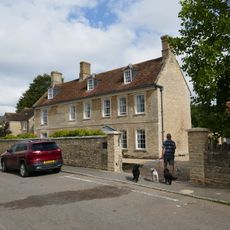
The Vicarage Including Attached Coachhouse
1.8 km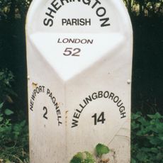
Milepost, High Street; N of Sherington village, 100m S of jct with Gun Lane
2.2 km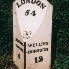
Milepost, Newport Road; 100m N of jct to Emberton Country Park
827 m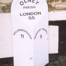
Milepost, High Street; by Cobbs Garden & Surgery and beside Revitt's Bakery shop
2.4 km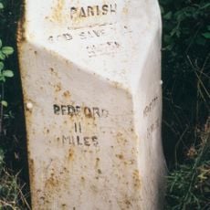
Milepost, Chicheley Hill; half way down hill from by-pass roundabout
3.8 km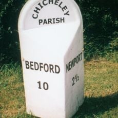
Milepost, Newport Road; NE of Chicheley Village
3.8 kmReviews
Visited this place? Tap the stars to rate it and share your experience / photos with the community! Try now! You can cancel it anytime.
Discover hidden gems everywhere you go!
From secret cafés to breathtaking viewpoints, skip the crowded tourist spots and find places that match your style. Our app makes it easy with voice search, smart filtering, route optimization, and insider tips from travelers worldwide. Download now for the complete mobile experience.

A unique approach to discovering new places❞
— Le Figaro
All the places worth exploring❞
— France Info
A tailor-made excursion in just a few clicks❞
— 20 Minutes