
Moulton, village and civil parish in Suffolk, UK
Location: Forest Heath
Location: West Suffolk
GPS coordinates: 52.25100,0.48750
Latest update: March 4, 2025 06:13
Clarehaven Stables
4.6 km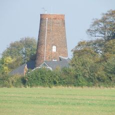
Gazeley Windmill
2 km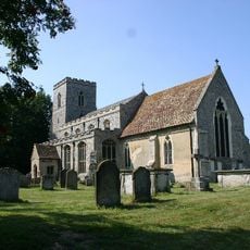
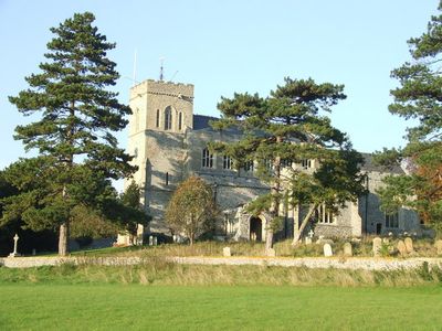
Church of All Saints
2 km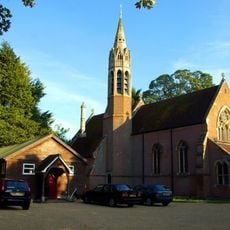
Church of St Agnes
4.9 km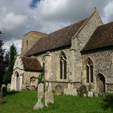
Church of St Mary
2.6 km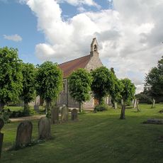
Parish Church of St Mary
2.7 km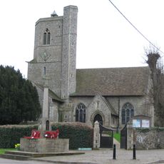
Parish Church of St Mary and the Holy Ghost in Heaven
3.8 km
Church of St Peter
209 m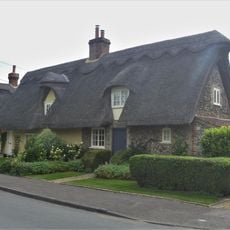
2, Church Road
321 m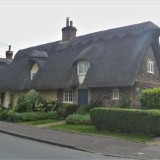
4, Church Road
313 m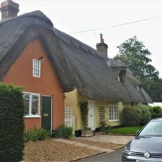
6, Church Road
309 m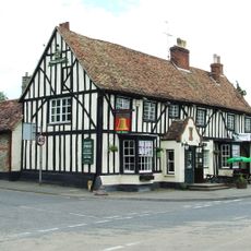
The Bell
2.3 km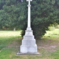
Moulton War Memorial
191 m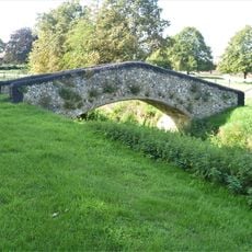
Bridge 40 Metres West Of Primary School Brookside
175 m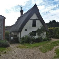
Crooked Cottage
273 m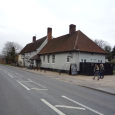
The Cock Public House
2.6 km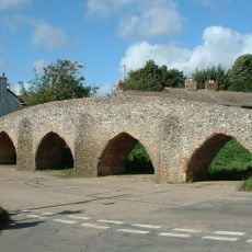
Moulton Packhorse Bridge
239 m
23 And 25, Brookside
75 m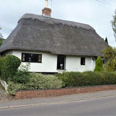
7, Chippenham Road
448 m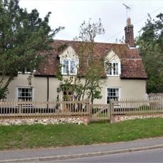
1, Chippenham Road
387 m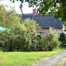
17 And 19, Brookside
69 m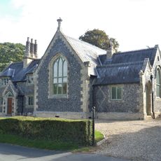
The Primary School And The Old Schoolhouse
106 m
The Priory
167 m
7, Bridge Street
301 m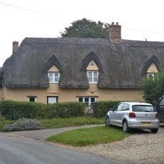
Bridge Farmhouse
292 m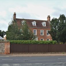
Moulton Hall
370 m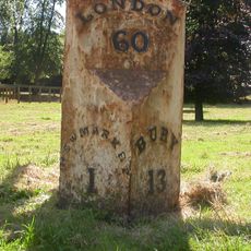
Milestone, The Limekilns, Bury Road (note this is actually in Snailwell Parish, Cambs)
4.3 km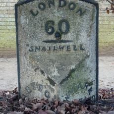
Milepost, Bury Road, at jct with A1506 opposide Bury Side Depot
4.4 kmVisited this place? Tap the stars to rate it and share your experience / photos with the community! Try now! You can cancel it anytime.
Discover hidden gems everywhere you go!
From secret cafés to breathtaking viewpoints, skip the crowded tourist spots and find places that match your style. Our app makes it easy with voice search, smart filtering, route optimization, and insider tips from travelers worldwide. Download now for the complete mobile experience.

A unique approach to discovering new places❞
— Le Figaro
All the places worth exploring❞
— France Info
A tailor-made excursion in just a few clicks❞
— 20 Minutes