Horstead with Stanninghall, civil parish in Norfolk, UK
Location: Broadland
Website: https://horsteadparishcouncil.org.uk
GPS coordinates: 52.72890,1.34548
Latest update: March 2, 2025 20:07
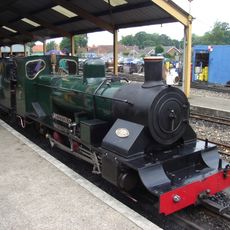
Bure Valley Railway
4.5 km
Barton House Railway
4.9 km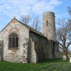
Church of St Theobald
628 m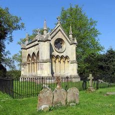
Trafford Mausoleum, St Mary's Churchyard
4.3 km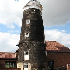
Frettenham Windmill
2.5 km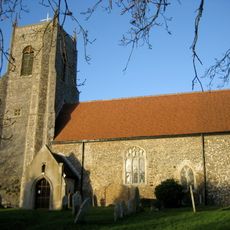
Church of St Peter
3.2 km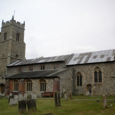
Church of St Mary
4.3 km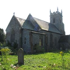
Parish Church of St Peter
4 km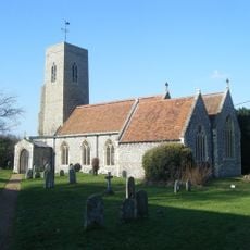
Parish Church of All Saints
305 m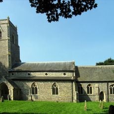
Church of St Swithin
2 km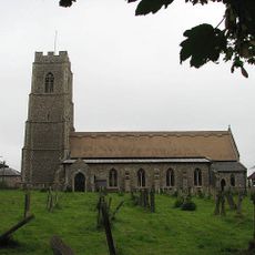
Parish Church of St John the Baptist
1.2 km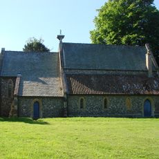
Church of Holy Trinity
713 m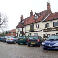
Recruiting Sergeant Inn
477 m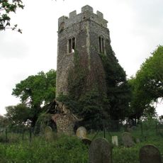
Remains of Church of All Saints
3 km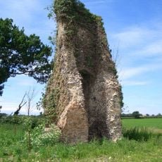
Ruined Church of St Peter
2.5 km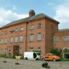
Hainford Hall
3.1 km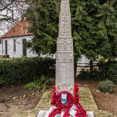
Wroxham War Memorial
4.5 km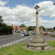
Horstead War Memorial
505 m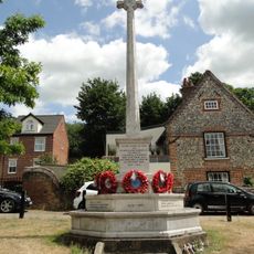
Coltishall and Hautbois War Memorial
820 m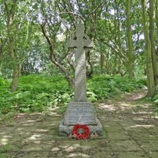
Crostwick and Beeston St Andrew War Memorial
3.8 km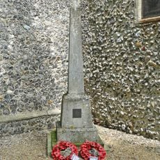
Frettenham War Memorial
2 km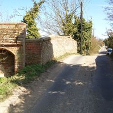
Mayton Bridge
2 km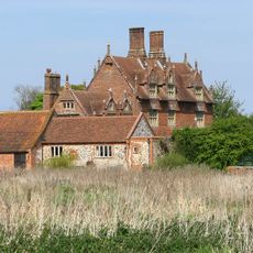
Little Hautbois Hall
2.4 km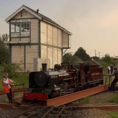
Wroxham Signal Box
4.5 km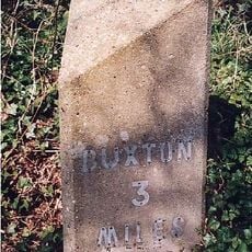
Milestone, 170yds S of jct with Court Hill
3 km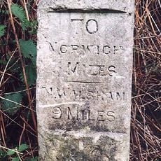
Milestone, Halfway between drive to Hill House and road materials store
2.9 km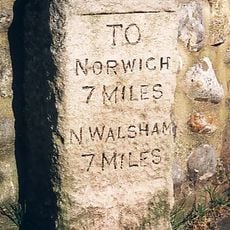
Milestone, High Street, by No. 28
451 m
Milestone, Norwich Road, by No. 58
4.5 kmVisited this place? Tap the stars to rate it and share your experience / photos with the community! Try now! You can cancel it anytime.
Discover hidden gems everywhere you go!
From secret cafés to breathtaking viewpoints, skip the crowded tourist spots and find places that match your style. Our app makes it easy with voice search, smart filtering, route optimization, and insider tips from travelers worldwide. Download now for the complete mobile experience.

A unique approach to discovering new places❞
— Le Figaro
All the places worth exploring❞
— France Info
A tailor-made excursion in just a few clicks❞
— 20 Minutes