
Tormarton, village and civil parish in Gloucestershire, UK
Location: South Gloucestershire
Website: https://tormarton.org
GPS coordinates: 51.50747,-2.33369
Latest update: March 13, 2025 17:55

Dyrham Park
4.1 km
Dodington Park
2 km
Church of St Peter
4.1 km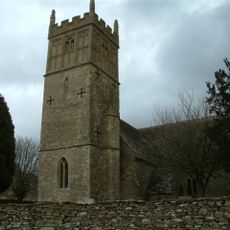
Church of St Mary
4.5 km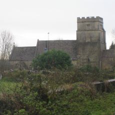
Church of St Mary Magdelene
71 m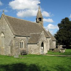
Church of St James
3.4 km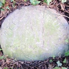
Milestone, About 100 Yards South Of Junction With Church Lane
2.9 km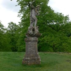
Statue of Neptune About 320 Metres East of Dyrham House
4 km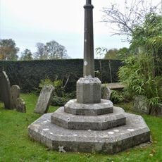
Dyrham War Memorial
4.1 km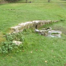
Remains Of Wall About 200 Metres North Of Statue Of Neptune
3.8 km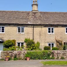
Barn Cottage and Plum Tree Cottage
64 m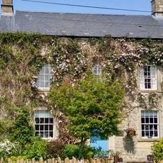
Dunsdown House
3 km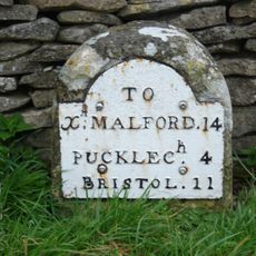
Milestone About 35 Metres North West Of The Crown Inn, On West Side Of A46
2.4 km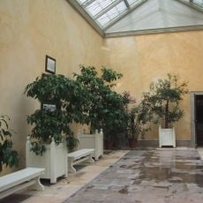
Orangery Attached To South East Of Dyrham House
4.1 km
Dyrham House
4.1 km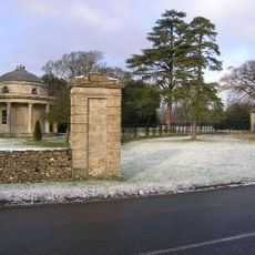
Bath Lodge
1.2 km
Old Hundred
492 m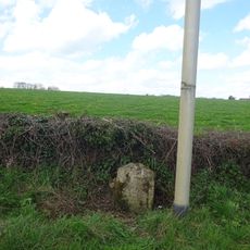
Milestone On Road 30 Yards To East Of The Beeches
2.7 km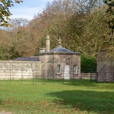
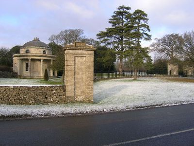
Lodge, Walls, Gate Piers And Railings To Dyrham Park On Bath Road
3.6 km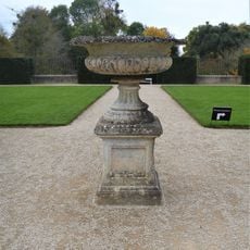
Plinth And Urn About 30 Metres West Of Dyrham House
4.1 km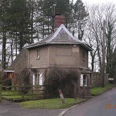
Turnpike Tollhouse
1.2 km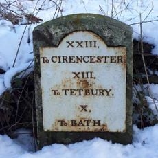
Milestone At Ngr 763790
671 m
Barn About 20 Metres South West Of Old Warren Farmhouse
2.4 km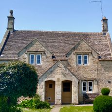
10, Marshfield Road
187 m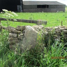
Milestone, Rushmead Farm, Tormarton Road
3.8 km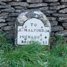
Milestone, jct with A46, opp. The Crown PH
2.4 km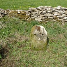
Milestone, E of hotel - blank
2.2 km
Milestone, E of Newhouse Farm
3.3 kmReviews
Visited this place? Tap the stars to rate it and share your experience / photos with the community! Try now! You can cancel it anytime.
Discover hidden gems everywhere you go!
From secret cafés to breathtaking viewpoints, skip the crowded tourist spots and find places that match your style. Our app makes it easy with voice search, smart filtering, route optimization, and insider tips from travelers worldwide. Download now for the complete mobile experience.

A unique approach to discovering new places❞
— Le Figaro
All the places worth exploring❞
— France Info
A tailor-made excursion in just a few clicks❞
— 20 Minutes