
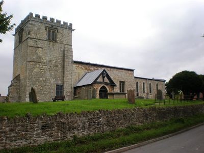
Goodmanham, village and civil parish in East Riding of Yorkshire, UK
Location: East Riding of Yorkshire
GPS coordinates: 53.88708,-0.62680
Latest update: March 7, 2025 04:19
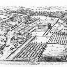
Londesborough Hall
3.1 km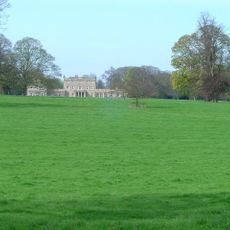
Dalton Hall
5.3 km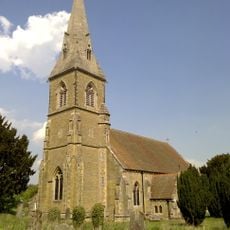
St James' Church, Warter
7 km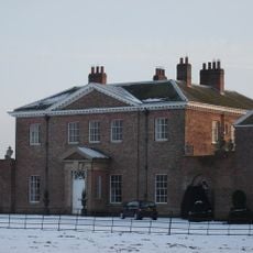
Houghton Hall
5.4 km
Rifle Butts Quarry
1.7 km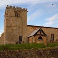
Church of All Hallows
1.8 km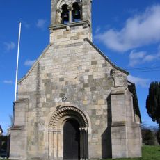
Church of Saint Giles
7.1 km
Church of Saint Mary
6.5 km
Church of All Saints, Londesborough
3.7 km
Church of Saint James
6.6 km
Church of All Saints
3.6 km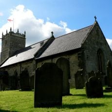
Church of All Saints
5.2 km
Church of St. Andrew
6.8 km
Church of All Saints
4.9 km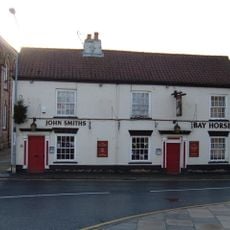
Bay Horse Public House
3.7 km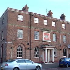
Londesborough Arms Hotel
3.6 km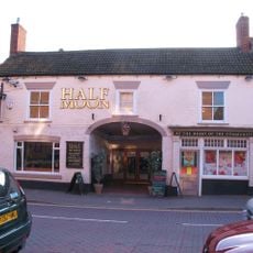
Half Moon Public House
3.6 km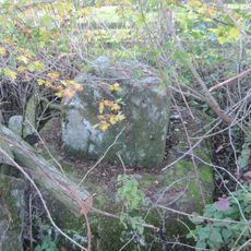
Medieval Wayside Cross, Suggested To Be The Molescroft Cross
2.8 km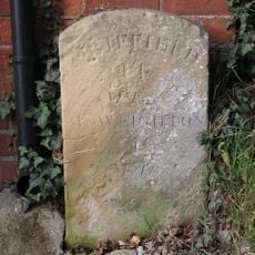
Milestone At Manor Farm
1.7 km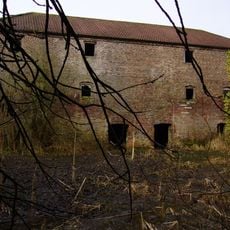
Warehouse To The South Of River Head Farm
6.9 km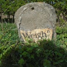
Milestone
6.6 km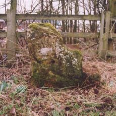
Milestone, 50m W of Becklands Park entrance
3.8 km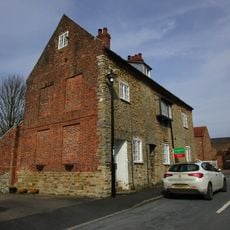
The Old Hall
1.8 km
Milestone, N of entrance to Mask Farm
4 km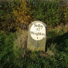
Milestone, opp. Mile House Farm
5.2 km
Milestone, N of entrance to Low Field Farm
6.9 km
Milestone, Sancton Road, Market Weighton
3.6 km
Milestone, W of Hessleskew X rds
3.1 kmReviews
Visited this place? Tap the stars to rate it and share your experience / photos with the community! Try now! You can cancel it anytime.
Discover hidden gems everywhere you go!
From secret cafés to breathtaking viewpoints, skip the crowded tourist spots and find places that match your style. Our app makes it easy with voice search, smart filtering, route optimization, and insider tips from travelers worldwide. Download now for the complete mobile experience.

A unique approach to discovering new places❞
— Le Figaro
All the places worth exploring❞
— France Info
A tailor-made excursion in just a few clicks❞
— 20 Minutes