
Marston Trussell, village and civil parish in Northamptonshire, United Kingdom
Location: West Northamptonshire
GPS coordinates: 52.46190,-0.98370
Latest update: March 9, 2025 05:52
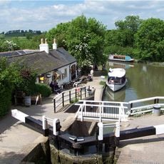
Foxton Locks
4.3 km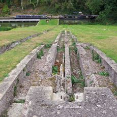
Inclined plane immediately east of Foxton Locks
4.2 km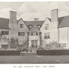
Papillon Hall, Lubenham
1.6 km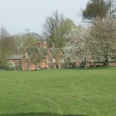
Bosworth Hall
4.5 km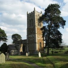
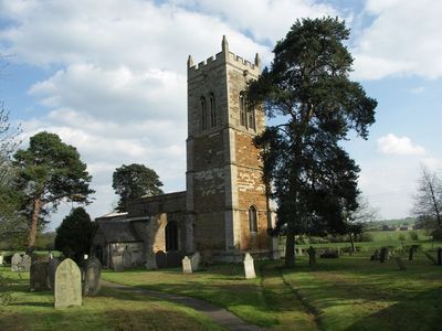
Church of St Nicholas
600 m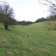
Coombe Hill Hollow
2.2 km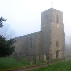
Church of St Helen
2.8 km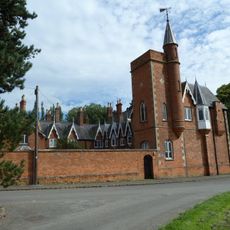
The Tower House, Lubenham
2.2 km
Church of St John the Baptist
2.6 km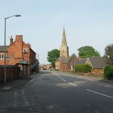
Church of All Saints, Theddingworth
2.4 km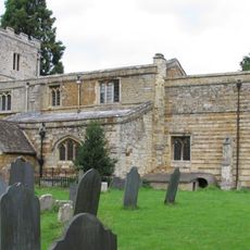
Church of All Saints
2.2 km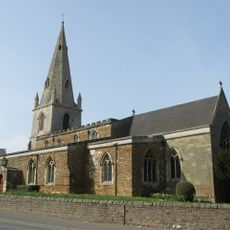
Church of All Saints
4.8 km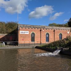
Foxton Canal Museum
4.2 km
Church of St Luke
5 km
Chapel Of St Mary
4.6 km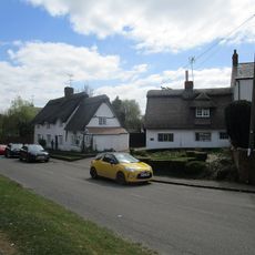
Prince Ruperts Cottage
4.4 km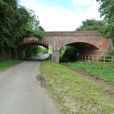
Disused Railway Bridge
2.1 km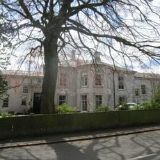
Clipston House
4.3 km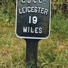
Mileplate Circa 56 Metres West Of Bridge No. 59 Grand Union Canal
3.1 km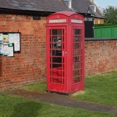
K6 Telephone Kiosk, High Street
4.3 km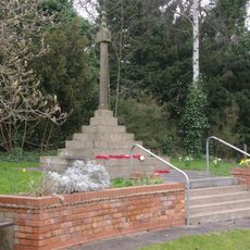
Lubenham War Memorial
2.5 km
Mileplate Immediately West Of Bridge Number 55, Grand Union Canal
3.2 km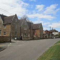
Hospital The Grammar School
4.4 km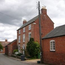
Honeypot Farmhouse
4.7 km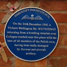
Wellington W5374 Memorial, Sibbertoft
3.1 km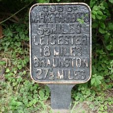
Milepost Circa 47 Metres East Of Bridge Number 62, Grand Union Canal
4.4 km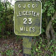
Grand Union Canal Milepost Between Bridges 46 And 47 At National Grid Reference Sp 648 852
4.4 km
The Thatched Cottage And Attached Wall
2.5 kmReviews
Visited this place? Tap the stars to rate it and share your experience / photos with the community! Try now! You can cancel it anytime.
Discover hidden gems everywhere you go!
From secret cafés to breathtaking viewpoints, skip the crowded tourist spots and find places that match your style. Our app makes it easy with voice search, smart filtering, route optimization, and insider tips from travelers worldwide. Download now for the complete mobile experience.

A unique approach to discovering new places❞
— Le Figaro
All the places worth exploring❞
— France Info
A tailor-made excursion in just a few clicks❞
— 20 Minutes