
Thorpe Mandeville, village and civil parish in Northamptonshire, United Kingdom
Location: West Northamptonshire
GPS coordinates: 52.09919,-1.22456
Latest update: May 10, 2025 07:48
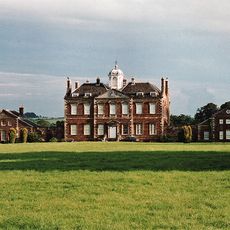
Thenford House
3 km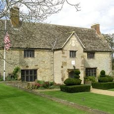
Sulgrave Manor
2.9 km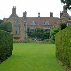
Wardington Manor
4.1 km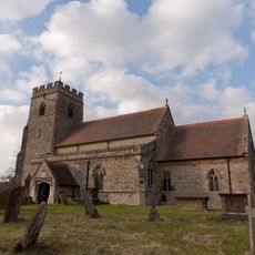
Church of St James the Less, Sulgrave
2.5 km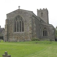
Church of St Lawrence
2.8 km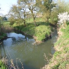
Upper Cherwell at Trafford House
4 km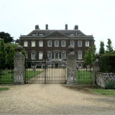
Edgcote House
4.1 km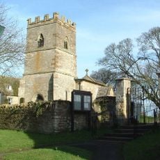
Church of St Peter
3.2 km
Church of St Peter and St Paul
4.2 km
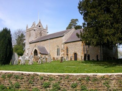
Church of St John the Baptist, Thorpe Mandeville
135 m
Church of St James
4.1 km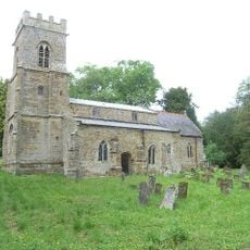
Church of St Mary, Thenford
3.6 km
Church of St Mary the Virgin, Culworth
2.4 km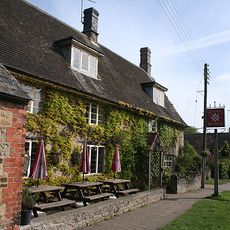
The Star Inn Public House
2.7 km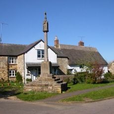
Cross Base and Culworth War Memorial
2.4 km
The Old Farmhouse
2.6 km
Manor Cottage
2.9 km
Wisteria Cottage
4.3 km
Forge Cottage
2.6 km
Thatched House Hotel
2.9 km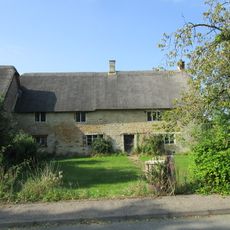
Kiln Farmhouse
2.9 km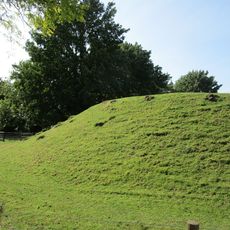
Castle Hill ringwork west of St James's Church
2.5 km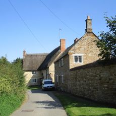
The Wool House And Attached Wall
3 km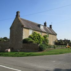
Eagle House And Garden Wall
2.7 km
Fulford House
2.5 km
The Old Manor House (Numbers 1, 2 And 3 Manor House) And Stone Walls
2.4 km
Old Rectory
4.1 km
House Abutting And To Left Of Wisteria Cottage
4.3 kmReviews
Visited this place? Tap the stars to rate it and share your experience / photos with the community! Try now! You can cancel it anytime.
Discover hidden gems everywhere you go!
From secret cafés to breathtaking viewpoints, skip the crowded tourist spots and find places that match your style. Our app makes it easy with voice search, smart filtering, route optimization, and insider tips from travelers worldwide. Download now for the complete mobile experience.

A unique approach to discovering new places❞
— Le Figaro
All the places worth exploring❞
— France Info
A tailor-made excursion in just a few clicks❞
— 20 Minutes