
Thorpe St Andrew, town in the United Kingdom
Location: Broadland
Website: http://thorpestandrew-tc.gov.uk
GPS coordinates: 52.63545,1.34310
Latest update: March 16, 2025 20:42
HM Prison Norwich
1.7 km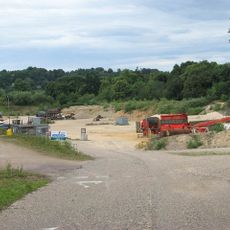
Whitlingham Quarry
1.5 km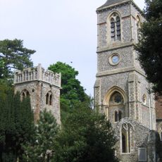
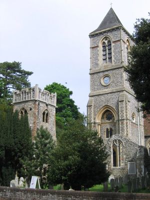
Church of St Andrew
1 km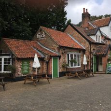
Buck Inn
1 km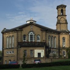
Church At St Andrews Hospital
1.8 km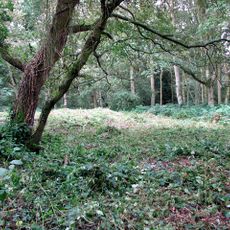
Site of St William's Chapel
2 km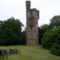
Thorpe Tower
1 km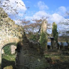
Ruins Of Trowse Newton Hall
1.9 km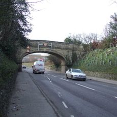
Road Bridge At St Andrews Hospital
1.9 km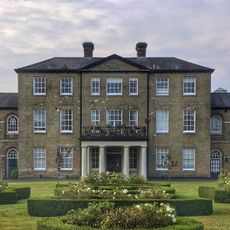
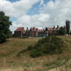
St Andrews Hospital
1.8 km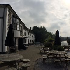
The Boat And Bottle
1.1 km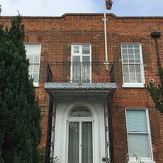
Broadland District Council Offices Thorpe Lodge
1.4 km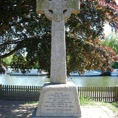
Thorpe St Andrew War Memorial
1.1 km
18-20, Yarmouth Road
1.2 km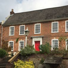
Old Thorpe House
1.1 km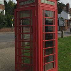
K6 Telephone Kiosk
1 km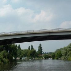
Postwick Viaduct
2.3 km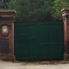
Boundary Wall To Road Extending From Number 2 To Number 10
1.3 km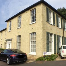
The Dell
1 km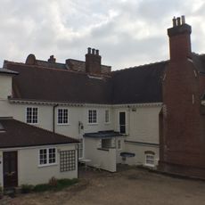
The Manor House
1.2 km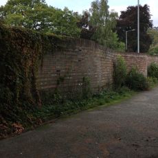
Serpentine Wall On The West Side Of Eden Close
1.5 km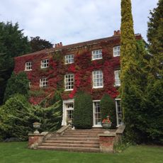
The Old Rectory
991 m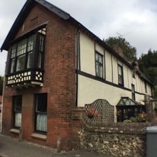
Homestead
1 km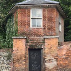
Gazebo South East Of Thorpe Lodge On Yarmouth Road
1.4 km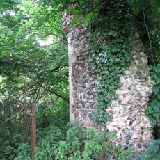
Ruins of Church of St Andrew
1.9 km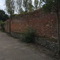
North Boundary Wall Of Number 6
1.4 km
Ruin of Church of St Andrew
1.1 km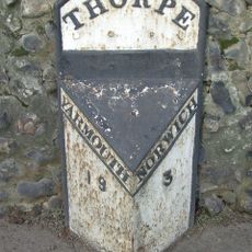
Milepost, 50yds E of bridge
1.9 kmVisited this place? Tap the stars to rate it and share your experience / photos with the community! Try now! You can cancel it anytime.
Discover hidden gems everywhere you go!
From secret cafés to breathtaking viewpoints, skip the crowded tourist spots and find places that match your style. Our app makes it easy with voice search, smart filtering, route optimization, and insider tips from travelers worldwide. Download now for the complete mobile experience.

A unique approach to discovering new places❞
— Le Figaro
All the places worth exploring❞
— France Info
A tailor-made excursion in just a few clicks❞
— 20 Minutes