
Sunningwell, village and civil parish in Vale of White Horse district, Oxfordshire, England
Location: Vale of White Horse
Shares border with: South Hinksey, Cumnor, Wootton, St. Helen Without, Abingdon-on-Thames, Radley, Kennington
Website: http://sunningwellparishcouncil.gov.uk
GPS coordinates: 51.70100,-1.28300
Latest update: March 19, 2025 20:51
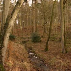
Bagley Wood
2.4 km
Templeton College
3.4 km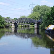
Kennington Railway Bridge
3.6 km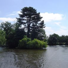
Rose Isle
3.6 km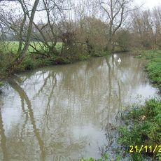
Hinksey Stream
3.6 km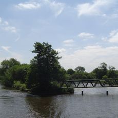
Fiddler's Elbow
3.5 km
Midvale Ridge
1 km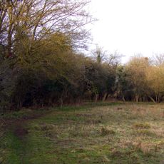
Lashford Lane Fen
2.9 km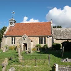
Church of St Peter
2.2 km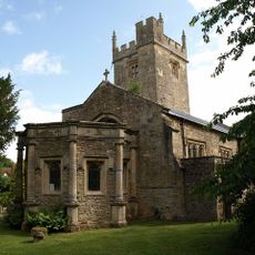
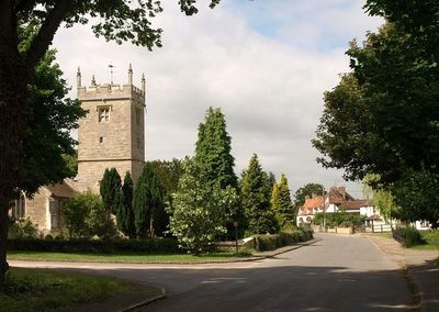
Church of St Leonard
87 m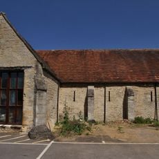
Christ Church
2.2 km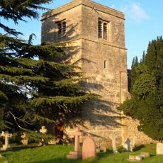
Church of St Lawrence
3.7 km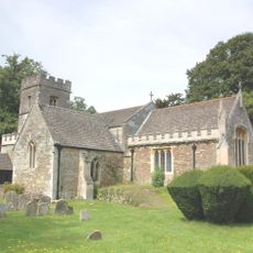
Church of St James
2.8 km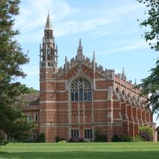
Chapel
2.4 km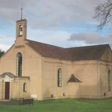
St Swithun's Church
3.2 km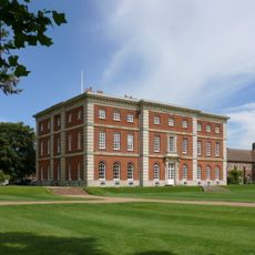
Radley Hall
2.3 km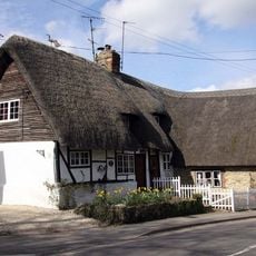
Jasmine Cottage
3.2 km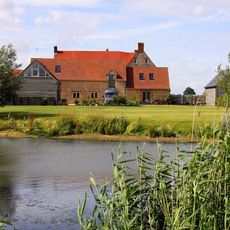
Chilswell Farmhouse
2.9 km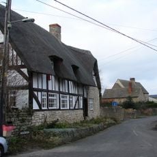
Horseshoe House
3.9 km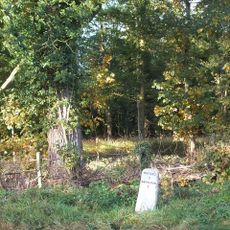
Milestone At National Grid Reference Sp5088 0148
1.6 km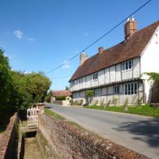
The Old Manor
195 m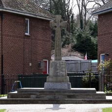
Kennington War Memorial, Oxfordshire
3.1 km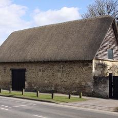
Barn Approximately 20 Metres North Of Number 211 (Kennington Manor House)
3.3 km
Sunningwell House
184 m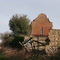
Henwood Farm,Dovecote And Stable Approximately 15 Metres North West Of Farmhouse
3.4 km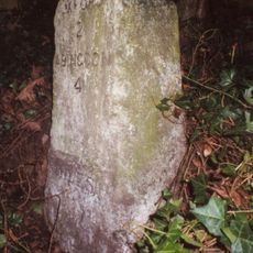
Milestone, Hinksey Hill; next to Magpies
2.8 km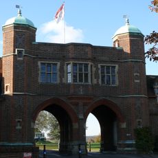
Memorial Arch
2.4 km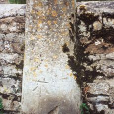
Milestone, Faringdon Road; Shippon, Abingdon Airfield
2.6 kmVisited this place? Tap the stars to rate it and share your experience / photos with the community! Try now! You can cancel it anytime.
Discover hidden gems everywhere you go!
From secret cafés to breathtaking viewpoints, skip the crowded tourist spots and find places that match your style. Our app makes it easy with voice search, smart filtering, route optimization, and insider tips from travelers worldwide. Download now for the complete mobile experience.

A unique approach to discovering new places❞
— Le Figaro
All the places worth exploring❞
— France Info
A tailor-made excursion in just a few clicks❞
— 20 Minutes