
Lew, village and civil parish in West Oxfordshire, England
Location: West Oxfordshire
Part of: Curbridge and Lew
Shares border with: Curbridge, Brize Norton, Bampton, Aston, Cote, Shifford and Chimney, Ducklington
GPS coordinates: 51.75600,-1.53100
Latest update: April 27, 2025 05:49
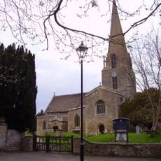
Church of St Mary, Bampton
3.4 km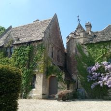
Bampton Castle
3.7 km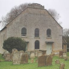
Cote Baptist Church
4.3 km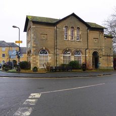
Town Hall
3.4 km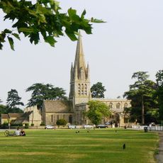
Church of St Mary the Virgin, Witney
4.2 km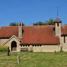
Church of St John the Baptist
2.4 km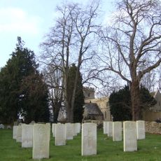
Church of St Mary the Virgin
4.4 km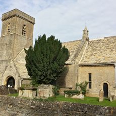
Church of St Britius
2.7 km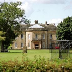
Cokethorpe House
4.6 km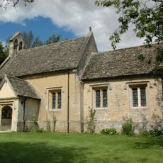
Church of St Nicholas And St Swithin
3.8 km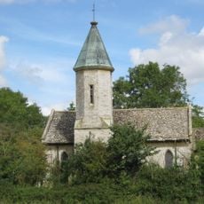
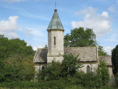
Church of the Holy Trinity
77 m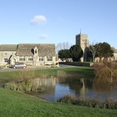
Church of St Bartholomew
3.6 km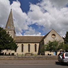
Church of St James
3.8 km
Ducklington Steam Rally
3 km
28-38, Church Green
4.2 km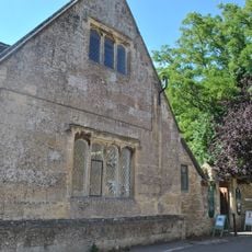
Bampton Library
3.4 km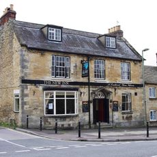
New Inn Public House
4.1 km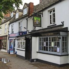
The Chequers Inn
4.2 km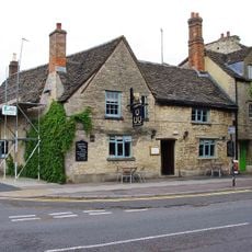
The Three Horseshoes Public House
4.2 km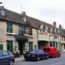
The Butcher's Arms Public House
4.2 km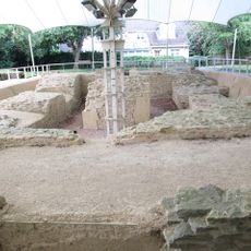
Bishop of Winchester's Palace, 90m east of St Mary's Church
4.3 km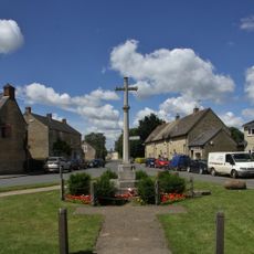
Aston War Memorial
3.8 km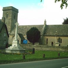
Brize Norton War Memorial
2.7 km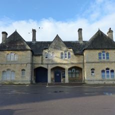
The Teaching Centre, Henry Box School
4.2 km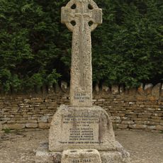
Black Bourton War Memorial
4.6 km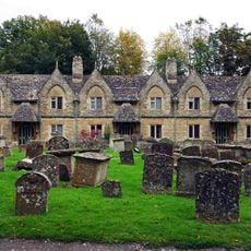
Holloways Almshouses
4.2 km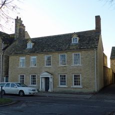
The Rectory and attached wall
4.3 km
The Old Rectory and attached wall
4.2 kmReviews
Visited this place? Tap the stars to rate it and share your experience / photos with the community! Try now! You can cancel it anytime.
Discover hidden gems everywhere you go!
From secret cafés to breathtaking viewpoints, skip the crowded tourist spots and find places that match your style. Our app makes it easy with voice search, smart filtering, route optimization, and insider tips from travelers worldwide. Download now for the complete mobile experience.

A unique approach to discovering new places❞
— Le Figaro
All the places worth exploring❞
— France Info
A tailor-made excursion in just a few clicks❞
— 20 Minutes