
Shellingford, village and civil parish in Vale of White Horse district, Oxfordshire, England
Location: Vale of White Horse
Shares border with: Stanford in the Vale, Littleworth, Great Faringdon, Little Coxwell, Baulking, Fernham
GPS coordinates: 51.64000,-1.54200
Latest update: March 6, 2025 07:34
Tom Brown’s School Museum
4.6 km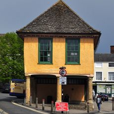
Old Town Hall
3.5 km
Corn Exchange
3.6 km
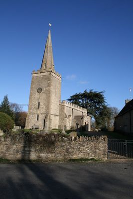
Church of St Faith
169 m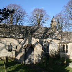
Church of St Mary
3.6 km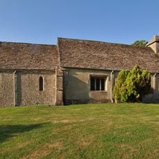
Church of St Nicholas
2.9 km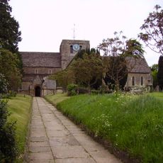
Church of All Saints
3.6 km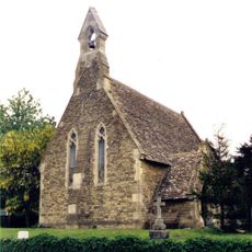
Church of St John
3 km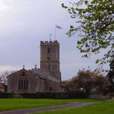
Church of St Denys
2.4 km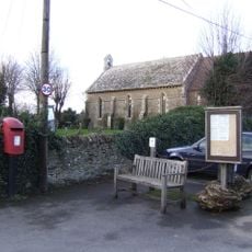
Church of the Holy Ascension
3.6 km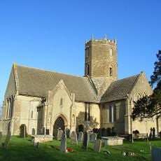
Church of St Mary
4.5 km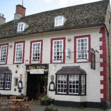
The Bell Inn
3.5 km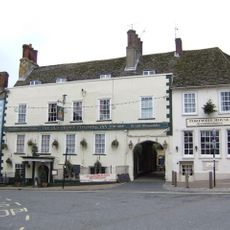
The Crown Hotel
3.5 km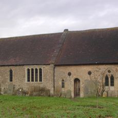
The Old Church of St George
2.3 km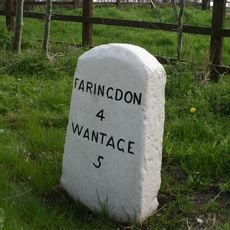
Milestone
2.7 km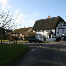
Corner Cottage
3 km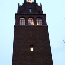
Lord Berner's Folly
2.9 km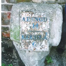
Milestone, London Street; 30m S of Stanford Road, by The Folly Inn PH
3.2 km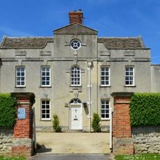
Coxs Hall
2.3 km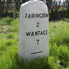
Milestone
842 m
The Old Vicarage
3.6 km
The Old Station
3.4 km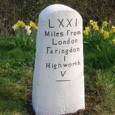
Milestone, Highworth Road; opp. Highways Depot
4.1 km
Number 50 And 52 And Milestone In Front Of Number 50
3.3 km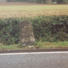
Milestone, E of Plough Inn PH
4.4 km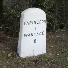
Milestone, Faringdon Road; opp. Bowling Green Farm
2.1 km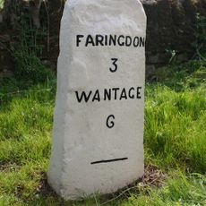
Milestone, Faringdon Road; E of Stanford Quarry
1.4 km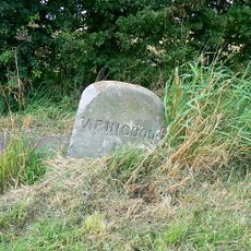
Milestone, Coxwell Road; W of outskirts of Faringdon
3.8 kmVisited this place? Tap the stars to rate it and share your experience / photos with the community! Try now! You can cancel it anytime.
Discover hidden gems everywhere you go!
From secret cafés to breathtaking viewpoints, skip the crowded tourist spots and find places that match your style. Our app makes it easy with voice search, smart filtering, route optimization, and insider tips from travelers worldwide. Download now for the complete mobile experience.

A unique approach to discovering new places❞
— Le Figaro
All the places worth exploring❞
— France Info
A tailor-made excursion in just a few clicks❞
— 20 Minutes