
Seend, village in the United Kingdom
Location: Wiltshire
Website: http://seendparishcouncil.co.uk
GPS coordinates: 51.35000,-2.08000
Latest update: March 3, 2025 10:50

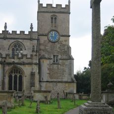
Church of the Holy Cross
311 m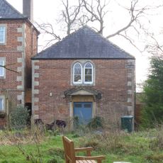
Seend Methodist Chapel
557 m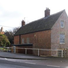
The Bell
592 m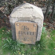
Milestone By No 7
1.2 km
Brewhouse To Rear Of Bell Inn
606 m
Crossways
454 m
Woolmore Farmhouse
3.2 km
Dial House
313 m
Hill Farm House
609 m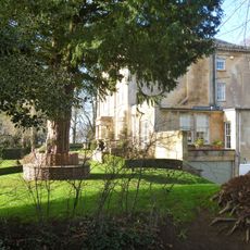
Seend House
360 m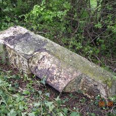
Milestone On South Side About 17 Metres West Of Summerham Bridge
1.3 km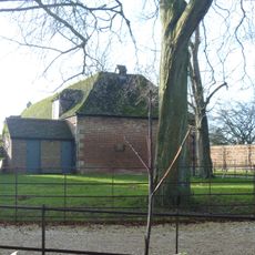
Stable Block At Seend Green House
414 m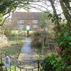
Knightsmead Farmhouse
692 m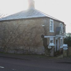
11 And 12
1.2 km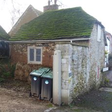
Outbuilding To West Of The Hatch
507 m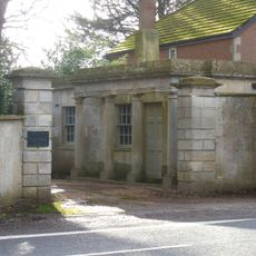
Lodge And Gate Piers To Seend House
369 m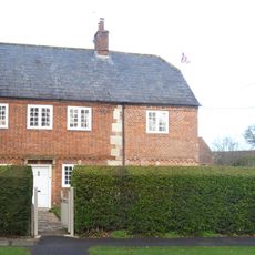
Greenheys
209 m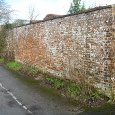
Gate Piers, Front Wall And Garden Walls To High Street And Church Lane At Manor House Wall Along East Side
253 m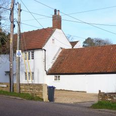
The White House
1.2 km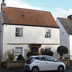
Canty Neuk
98 m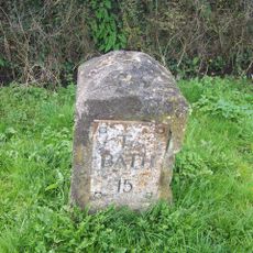
Milestone On South Side About 30 Metres West Of Mitchell Farmhouse
1.2 km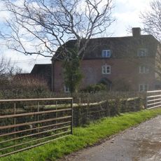
Inmarsh Farmhouse
839 m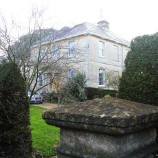
Beech House
210 m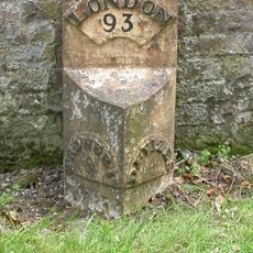
Milestone About 20 Metres South West Of Ivy Cottage
219 m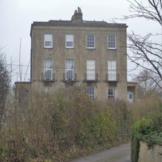
403 And 404
3.5 km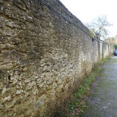
Wall Along West Side, From Churchyard Gate To High Street Corner
259 m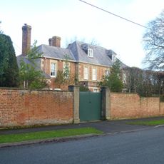
Seend Lodge
148 m
399 And 400
3.5 kmReviews
Visited this place? Tap the stars to rate it and share your experience / photos with the community! Try now! You can cancel it anytime.
Discover hidden gems everywhere you go!
From secret cafés to breathtaking viewpoints, skip the crowded tourist spots and find places that match your style. Our app makes it easy with voice search, smart filtering, route optimization, and insider tips from travelers worldwide. Download now for the complete mobile experience.

A unique approach to discovering new places❞
— Le Figaro
All the places worth exploring❞
— France Info
A tailor-made excursion in just a few clicks❞
— 20 Minutes