
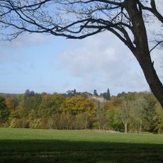
Ramsden, village and civil parish in West Oxfordshire, Oxfordshire, England
Location: West Oxfordshire
Shares border with: Cornbury and Wychwood, Leafield, Crawley, Hailey, North Leigh, Finstock
Website: http://ramsdenvillage.co.uk
GPS coordinates: 51.83700,-1.43700
Latest update: March 13, 2025 08:13

Cornbury Park
4.8 km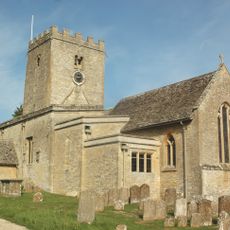
St Mary's Church, North Leigh
1.9 km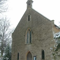
Church of the Holy Trinity
3.1 km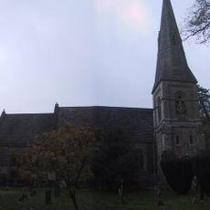
Church of St James
3.3 km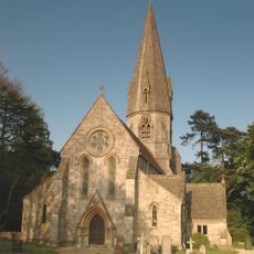
Church of St Michael and All Angels
7 km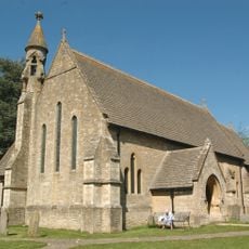
Church of St John the Evangelist
4.6 km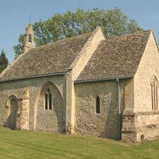
Church of St Peter
1.8 km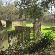
1, Park Street
5.1 km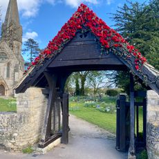
Leafield War Memorial Lychgate at St Michael and All Angels Church
7.1 km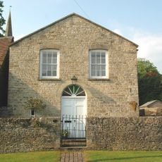
Former Methodist Chapel
3.3 km
North Leigh
1.9 km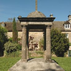
Delly End Peace Memorial
4.3 km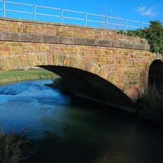
Railway Bridge At Sp 3719 1682
2.1 km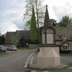
The Royal Oak Public House
3.2 km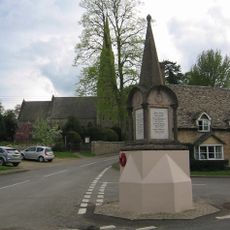
Ramsden War Memorial
3.2 km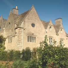
Finstock Manor House
3 km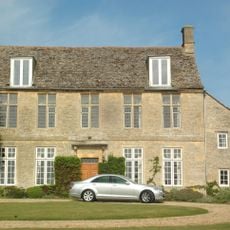
The Old Vicarage
1.9 km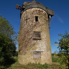
Windmill At Sp 3865 1292
2.6 km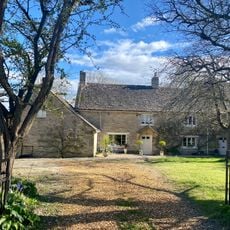
Pratts House
7.1 km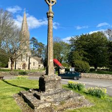
Village Cross
7.1 km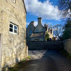
The Vicarage
7 km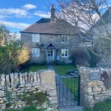
Lancut
7.2 km
39, High Street
3 km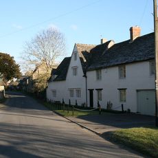
The Old Manor House
4.3 km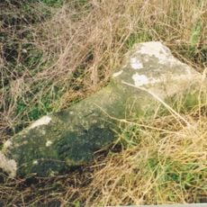
Milestone, Fawler Road; Cornbury Park, up hill from Finstock Station and 30m N of lay-by
3.6 km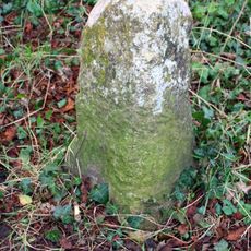
Milestone, Hailey Road: 50m S of lane to Downhill Farm
5.2 km
Milestone, Whiteoak Green; on bend between Wood Farm & New Found Out Farm
4.7 km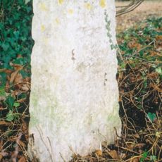
Milestone, Charlbury Road; 100m N of jct at Manor House into village; opp new development of Manor Farm Business Park
3 kmVisited this place? Tap the stars to rate it and share your experience / photos with the community! Try now! You can cancel it anytime.
Discover hidden gems everywhere you go!
From secret cafés to breathtaking viewpoints, skip the crowded tourist spots and find places that match your style. Our app makes it easy with voice search, smart filtering, route optimization, and insider tips from travelers worldwide. Download now for the complete mobile experience.

A unique approach to discovering new places❞
— Le Figaro
All the places worth exploring❞
— France Info
A tailor-made excursion in just a few clicks❞
— 20 Minutes