Wirswall, village and civil parish in Cheshire East, England
Location: Cheshire East
Shares border with: Tushingham-cum-Grindley, Macefen and Bradley, Marbury cum Quoisley
GPS coordinates: 52.99243,-2.67868
Latest update: April 4, 2025 14:55
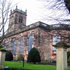
St Alkmund's Church
2.4 km
St Chad's Chapel, Tushingham
2.8 km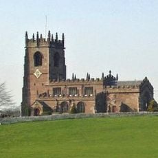
St Michael's Church
2.1 km
St Chad's Church, Tushingham
3.3 km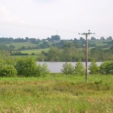
Quoisley Meres
1.4 km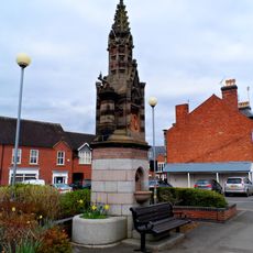
Churton Memorial Fountain
2.6 km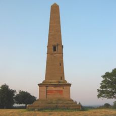
Monumental Obelisk at Combermere Abbey
3.1 km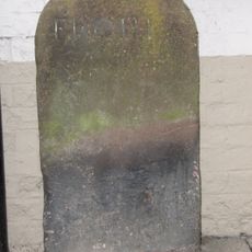
Milestone Adjoining North East Front Of Number 46 (Victoria Hotel)
2.5 km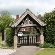
Lychgate in Churchyard of St Michael
2.2 km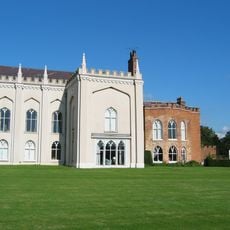
Combermere Abbey (house)
4.2 km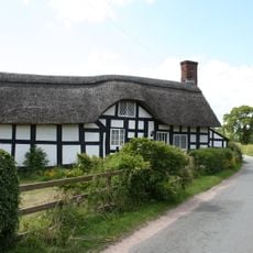
Stokes Cottage
3.7 km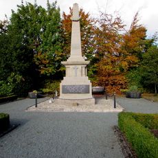
Whitchurch War Memorial
2.6 km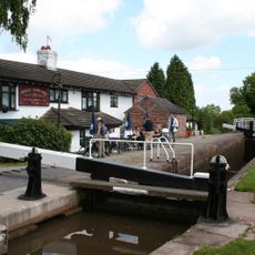
Willeymoor Lock
1.5 km
Milestone Adjoining Number 3 A
2.8 km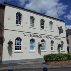
Whitchurch Heritage Centre
2.5 km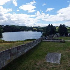
Churchyard wall at Church of St Michael
2.1 km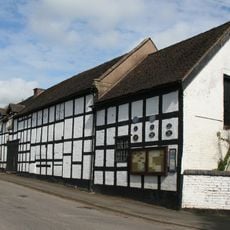
Outhouse to Swan Inn
2.2 km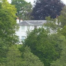
Marbury Hall
1.8 km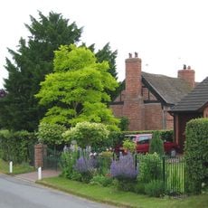
Brook Farmhouse
3.8 km
Guidepost
3.9 km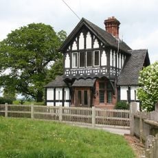
Gate Lodge To Marbury Hall
2.2 km
Pearl Farmhouse
2.5 km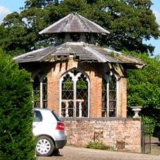
Game larder to the centre of the service court at Combermere Abbey
4.2 km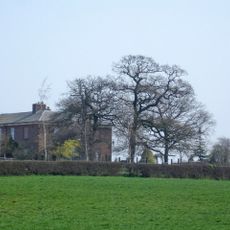
Lower Lodge
2.3 km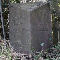
Milepost, S of Quoisley Lock on canal
2.1 km
Milepost, Sandhole Farm; 100m S of power lines
2.4 km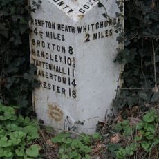
Milepost, N of B5395 jct, Grindley Brook, S of Willey Moor jct
2.6 km
Milepost, N of Bell o' th' Hill, opp. Church of St Chad, Tushingham
3.3 kmVisited this place? Tap the stars to rate it and share your experience / photos with the community! Try now! You can cancel it anytime.
Discover hidden gems everywhere you go!
From secret cafés to breathtaking viewpoints, skip the crowded tourist spots and find places that match your style. Our app makes it easy with voice search, smart filtering, route optimization, and insider tips from travelers worldwide. Download now for the complete mobile experience.

A unique approach to discovering new places❞
— Le Figaro
All the places worth exploring❞
— France Info
A tailor-made excursion in just a few clicks❞
— 20 Minutes