Enable Location

We need your location to show you interesting places around you

Discover nearby places

Find interesting locations and hidden gems around you

Precise directions

Get accurate directions and distances to places

Your location is never shared with other users. It's only used when you tap the location button.

Sedgwick

Log in to your account

Start exploring — it's free

Trusted by 61,455 travelers worldwide

Continue with Google
Continue with Apple
or

We will send you a code to connect

By continuing, you accept our Terms and Conditions and our Privacy Policy

Check your inbox

We've sent a pincode in your inbox. Please enter the code below.

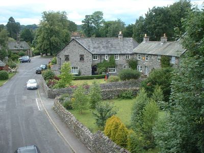
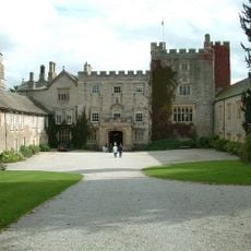
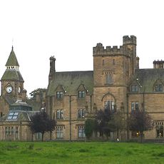
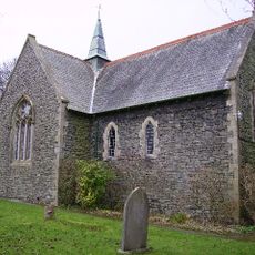
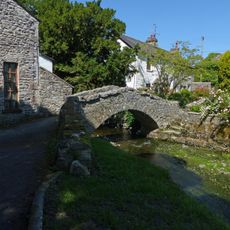
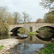
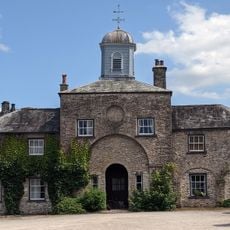
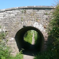
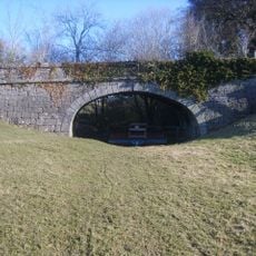
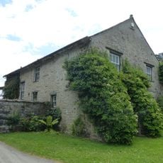
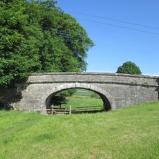
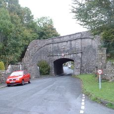
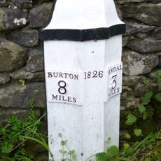
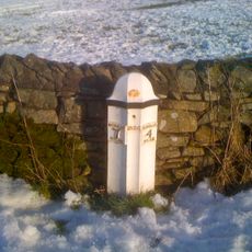
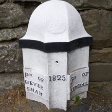
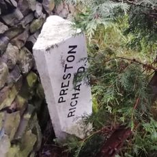
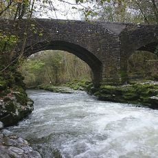
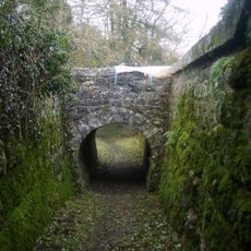
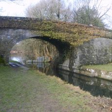
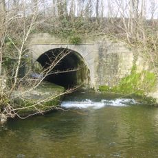
Sedgwick, village and civil parish in Cumbria, UK

Location
Westmorland and Furness
GPS coordinates
54.27319,-2.74834
Latest update
March 11, 2025 06:43

AroundUs brings together thousands of curated places, local tips, and hidden gems, enriched daily by 60,000 contributors worldwide. Discover all places nearby (Westmorland and Furness).

Around this place
Sizergh Castle
United Kingdom

Sizergh Castle

2 km
Sedgwick House
United Kingdom

Sedgwick House

511 m
St Thomas' Church, Crosscrake
United Kingdom

St Thomas' Church, Crosscrake

1.1 km
Field End Bridge Over Kendal Lancaster Canal Ngr 5259 8499
United Kingdom

Field End Bridge Over Kendal Lancaster Canal Ngr 5259 8499

2.1 km
Horse Park Bridge Over Lancaster/Kendal Canal
United Kingdom

Horse Park Bridge Over Lancaster/Kendal Canal

906 m
Stainton Crossing Bridge Over Kendal Lancaster Canal Ngr 5205 8543
United Kingdom

Stainton Crossing Bridge Over Kendal Lancaster Canal Ngr 5205 8543

1.4 km
Larkrigg Hall Bridge Over Lancaster/Kendal Canal
United Kingdom

Larkrigg Hall Bridge Over Lancaster/Kendal Canal

1.6 km
Lancaster Kendal Canal, Sellet Hall Bridge Over Lancaster/Kendal Canal
United Kingdom

Lancaster Kendal Canal, Sellet Hall Bridge Over Lancaster/Kendal Canal

1.3 km
Packhorse bridge at Stainton
United Kingdom

Packhorse bridge at Stainton

1.3 km
Levens Bridge
United Kingdom

Levens Bridge

2.3 km
Stables and attached barn to south west of Sizergh Castle
United Kingdom

Stables and attached barn to south west of Sizergh Castle

2 km
Accommodation Bridge Over Sunken Horse Path 100 Yds East-South-East Of West Portal Of Hincaster Tunnel
United Kingdom

Accommodation Bridge Over Sunken Horse Path 100 Yds East-South-East Of West Portal Of Hincaster Tunnel

1.6 km
Garden wall, gatepiers and summer house to south of Sizergh Castle
United Kingdom

Garden wall, gatepiers and summer house to south of Sizergh Castle

1.9 km
Lancaster Kendal Canal, Sedgwick Hill Bridge Over Lancaster/Kendal Canal
United Kingdom

Lancaster Kendal Canal, Sedgwick Hill Bridge Over Lancaster/Kendal Canal

296 m
House and outbuildings forming north side courtyard south west of Sizergh Castle
United Kingdom

House and outbuildings forming north side courtyard south west of Sizergh Castle

2 km
Lancaster Kendal Canal, Crowpark Bridge Over Lancaster/Kendal Canal
United Kingdom

Lancaster Kendal Canal, Crowpark Bridge Over Lancaster/Kendal Canal

2.4 km
Sedgwick aqueduct
United Kingdom

Sedgwick aqueduct

370 m
Walls, Gate Piers, Fencing And Gates To West Of Sizergh Castle
United Kingdom

Walls, Gate Piers, Fencing And Gates To West Of Sizergh Castle

2 km
Milestone Approximately 250 Yards North Of Punch Bowl Public House
United Kingdom

Milestone Approximately 250 Yards North Of Punch Bowl Public House

2.2 km
Milestone Approximately 150 Yards North West Of Strorth End Farmhouse Near Half Penny Turn Off
United Kingdom

Milestone Approximately 150 Yards North West Of Strorth End Farmhouse Near Half Penny Turn Off

2 km
Boundary Post Approximately 200 Yards North Of Punch Bowl Public House
United Kingdom

Boundary Post Approximately 200 Yards North Of Punch Bowl Public House

2.1 km
Boundary Stone Approximately 30 Yards North West Of Storth End Farmhouse Near Summerlands
United Kingdom

Boundary Stone Approximately 30 Yards North West Of Storth End Farmhouse Near Summerlands

2 km
Hawes Bridge
United Kingdom

Hawes Bridge

2.4 km
West Portal To Hincaster Tunnel
United Kingdom

West Portal To Hincaster Tunnel

1.6 km
Railway Arch Over Sunken Horse Path And Retaining Walls To South West Of East Portal In Hincaster Tunnel
United Kingdom

Railway Arch Over Sunken Horse Path And Retaining Walls To South West Of East Portal In Hincaster Tunnel

1.5 km
Stainton Bridge End Bridge Over Kendal Lancaster Canal Ngr 5242 8526
United Kingdom

Stainton Bridge End Bridge Over Kendal Lancaster Canal Ngr 5242 8526

1.7 km
Stainton Aqueduct carrying Kendal/Lancaster Canal over Stainton Beck and public footpath NGR5226 8542
United Kingdom

Stainton Aqueduct carrying Kendal/Lancaster Canal over Stainton Beck and public footpath NGR5226 8542

1.5 km
Milepost, slip road from A590, S end of Levens Bridge, N of Lawrence House Farm
United Kingdom

Milepost, slip road from A590, S end of Levens Bridge, N of Lawrence House Farm

2.1 km
Show the full map
« Sedgwick - village and civil parish in Cumbria, UK » is provided by Around Us (aroundus.com). Images and texts are derived from Wikimedia project under a Creative Commons license. You are allowed to copy, distribute, and modify copies of this page, under the conditions set by the license, as long as this note is clearly visible.

Discover hidden gems everywhere you go!

From secret cafés to breathtaking viewpoints, skip the crowded tourist spots and find places that match your style. Our app makes it easy with voice search, smart filtering, route optimization, and insider tips from travelers worldwide. Download now for the complete mobile experience.

Around Us App Screenshot

A unique approach to discovering new places

Le Figaro

All the places worth exploring

France Info

A tailor-made excursion in just a few clicks

20 Minutes

Around Us
Travel Guide & Maps
Download

Send to your phone

QR Code
1

Open the camera app on your mobile.

2

Point at the QR code with your camera. A notification will appear.

3

Tap the notification to open the link.