
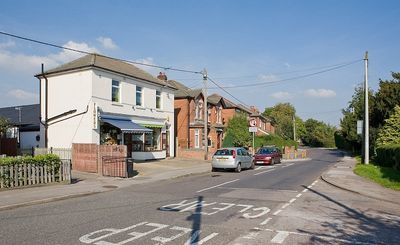
Marchwood, village in Hampshire, England, United Kingdom
Location: New Forest
Website: https://marchwoodparishcouncil.org.uk
GPS coordinates: 50.88333,-1.45000
Latest update: March 4, 2025 14:17
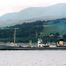
SS Shieldhall
2.8 km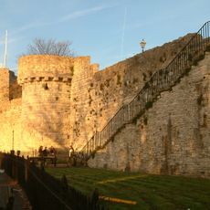
Southampton town walls
3.5 km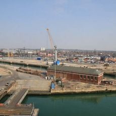
King George V Dry Dock
3 km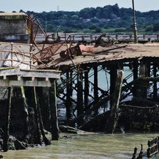
Royal Pier
3.2 km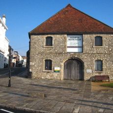
The Wool House
3.4 km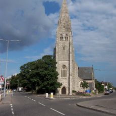
Christ Church, Freemantle
3.5 km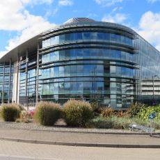
Carnival House
3.5 km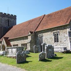
Church of All Saints
1.3 km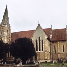
Church of St John the Apostle
793 m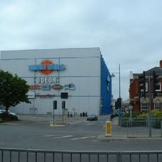
Odeon Southampton
3.4 km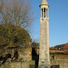
Pilgrim Fathers' Memorial
3.4 km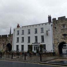
The Royal Standard Inn
3.5 km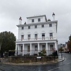
1A, Bugle Street
3.5 km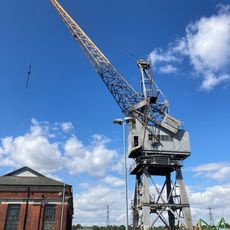
No. 7 Pumping Station At King George V Dry Dock
2.8 km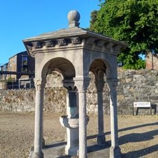
Drinking Fountain
3.4 km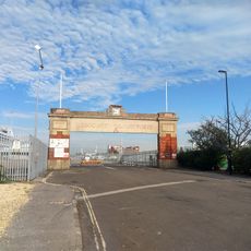
Gates No. 8 And No. 10 To The Western Docks
3.3 km
8, Bugle Street
3.5 km
9 And 10, Westgate Street
3.5 km
11 And 13, Bugle Street
3.5 km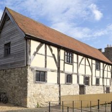
Tudor Merchants Hall
3.5 km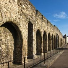
Town wall: section between Simnal Street and the site of the Bugle Tower excluding the West Gate
3.5 km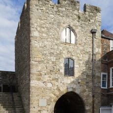
Southampton town wall: the West Gate
3.5 km
369 And 371A, Millbrook Road
3.4 km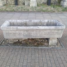
Horse Trough
3.4 km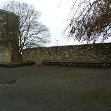
Wall Adjoining To North-West Of Canute's Palace
3.5 km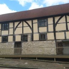
8, Westgate Street
3.5 km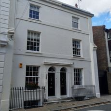
1 and 3, Bugle Street
3.5 km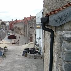
Sections of wall running south along Esplanade from south-west corner of Simnel Street to University Air Squadron Headquarters at south end of Bugle Street. Includes The Arcades, The West Gate, Blue Anchor Postern and Biddles Gate
3.5 kmVisited this place? Tap the stars to rate it and share your experience / photos with the community! Try now! You can cancel it anytime.
Discover hidden gems everywhere you go!
From secret cafés to breathtaking viewpoints, skip the crowded tourist spots and find places that match your style. Our app makes it easy with voice search, smart filtering, route optimization, and insider tips from travelers worldwide. Download now for the complete mobile experience.

A unique approach to discovering new places❞
— Le Figaro
All the places worth exploring❞
— France Info
A tailor-made excursion in just a few clicks❞
— 20 Minutes