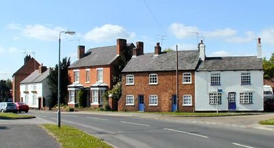
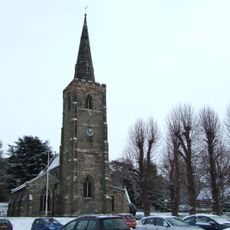
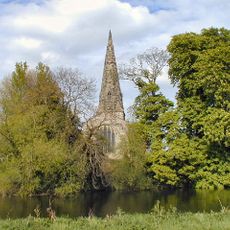
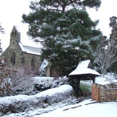
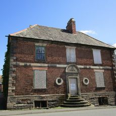
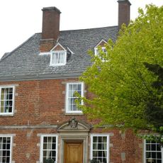
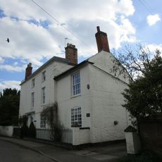
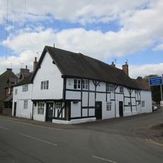
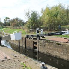
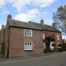
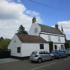
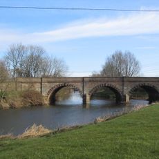
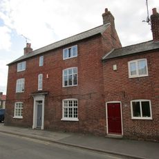
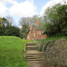
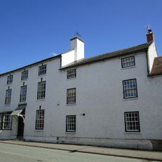
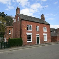
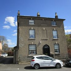
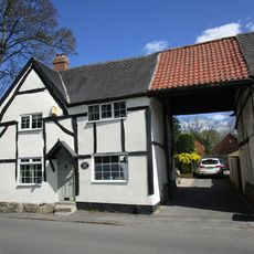
Sutton Bonington, village and civil parish in Nottinghamshire, United Kingdom
Location: Rushcliffe
Shares border with: Kingston on Soar
GPS coordinates: 52.82020,-1.25120
Latest update: March 3, 2025 03:10
St. Michael's Church, Sutton Bonington
442 m
St. James, Normanton
2.5 km
St. Anne's Church, Sutton Bonington
185 m
St. Helena's Church, West Leake
2.6 km
St. Winifred's Church, Kingston on Soar
2.8 km
Number 143 And Attached Cottage And Chapel
539 m
Ivy Cottage
2.2 km
The Great House
2.4 km
The Hall
313 m
The White House And Attached Wall And Railings
593 m
K6 Telephone Kiosk
2.8 km
92A, Main Street
379 m
Kegworth Shallow Lock
2.5 km
The Dower House
139 m
Number 118 And Attached Outbuilding
535 m
Kegworth Bridge
2.5 km
65, Main Street
21 m
Old School House And Attached Outbuildings,
440 m
The Cedars
2.3 km
78 And 80, Main Street
152 m
20, Market Place
2.4 km
Old Lock River Soar
2.3 km
8, Nottingham Road
2.4 km
Pumphouse
2.8 km
75, Main Street
2.4 km
Lodge Farmhouse
2.3 km
Lychgate At Entrance To Churchyard Of Church Of St Winifred
2.7 km
Butterfly Vase In Chinese Garden
1.6 kmVisited this place? Tap the stars to rate it and share your experience / photos with the community! Try now! You can cancel it anytime.
Discover hidden gems everywhere you go!
From secret cafés to breathtaking viewpoints, skip the crowded tourist spots and find places that match your style. Our app makes it easy with voice search, smart filtering, route optimization, and insider tips from travelers worldwide. Download now for the complete mobile experience.
A unique approach to discovering new places❞
— Le Figaro
All the places worth exploring❞
— France Info
A tailor-made excursion in just a few clicks❞
— 20 Minutes