
Whittlesford, village in the United Kingdom
Location: South Cambridgeshire
GPS coordinates: 52.11338,0.15119
Latest update: March 30, 2025 13:47

IWM Duxford
2.1 km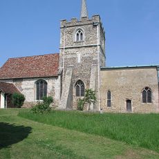
St John's Church, Duxford
2.1 km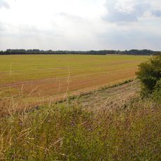
Whittlesford - Thriplow Hummocky Fields
2.7 km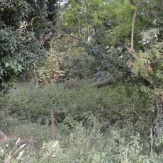
Thriplow Peat Holes
2.5 km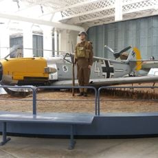
IWM Duxford
2.5 km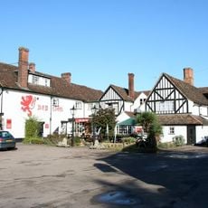
Red Lion Hotel
1.5 km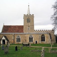
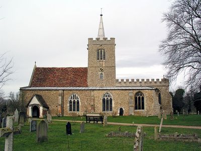
Parish Church of St Mary and St Andrew
281 m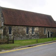
Chapel Of Hospital Of St John The Baptist
1.5 km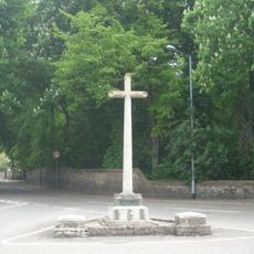
Sawston War Memorial (At Junction with Church Lane)
1.6 km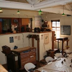
Building 59 (operations Block)
2.7 km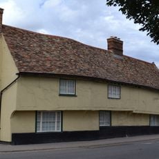
Queen's Head Inn
1.5 km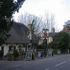
John Barleycorn Inn
2.2 km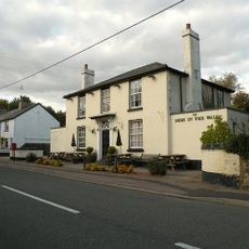
Bees In The Wall Public House
741 m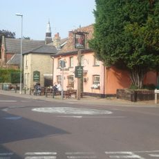
Kings Head Public House
1.7 km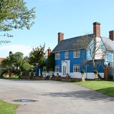
Tickells Arms Public House
181 m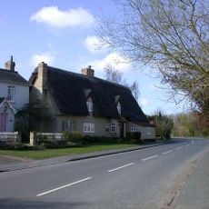
Nuns Cottage
666 m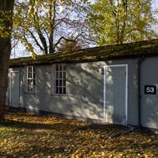
Buildings 53, 55, 57, 58 And 292
2.7 km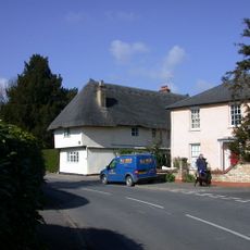
Charity Farmhouse
433 m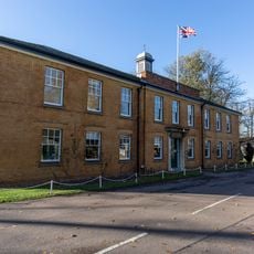
Building 61 (Station Offices)
2.6 km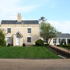
The Shrubberies
79 m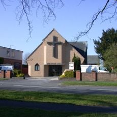
Whittlesford United Reformed Church
200 m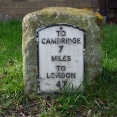
Milestone, High Street, S of Kingfisher Close
1.3 km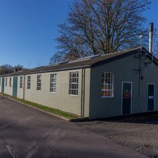
Building 72 (Workshops)
2.5 km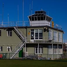
Building 209 (Control Tower)
2.5 km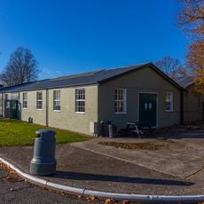
Building 80 (Workshops And Parachute Store)
2.5 km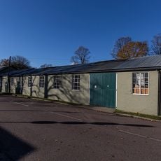
Buildings 63 And 66 (Stores)
2.6 km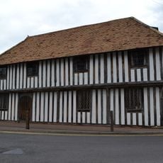
The Guildhall
121 m
Duxford Chapel
1.5 kmVisited this place? Tap the stars to rate it and share your experience / photos with the community! Try now! You can cancel it anytime.
Discover hidden gems everywhere you go!
From secret cafés to breathtaking viewpoints, skip the crowded tourist spots and find places that match your style. Our app makes it easy with voice search, smart filtering, route optimization, and insider tips from travelers worldwide. Download now for the complete mobile experience.

A unique approach to discovering new places❞
— Le Figaro
All the places worth exploring❞
— France Info
A tailor-made excursion in just a few clicks❞
— 20 Minutes