
Ampfield, village in the United Kingdom
Location: Test Valley
Website: http://ampfield.org.uk
GPS coordinates: 51.01140,-1.42260
Latest update: March 3, 2025 05:58
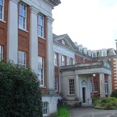
Hursley House
2.4 km
Sir Harold Hillier Gardens
3.1 km
The Quarters, Hursley Park
1.7 km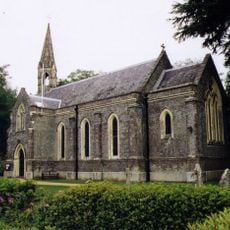
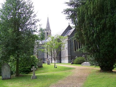
Church of St Mark
204 m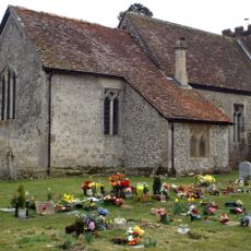
Church of St John the Baptist
2.9 km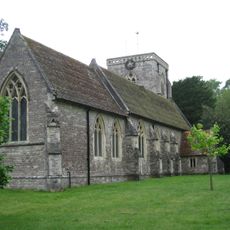
Church of All Saints, Hursley
2.7 km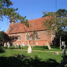
Church of All Saints
3.5 km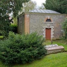
Mausoleum 20 Metres South West Of All Saints Church
2.6 km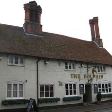
The Dolphin Inn
2.6 km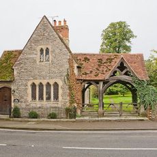
Church Lodge And Lychgate
2.7 km
White Horse Public House
772 m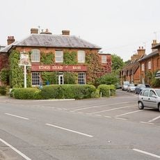
King's Head Public House
2.7 km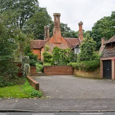
109, A3090
2.5 km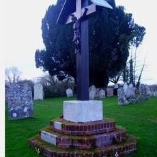
North Baddesley War Memorial
2.9 km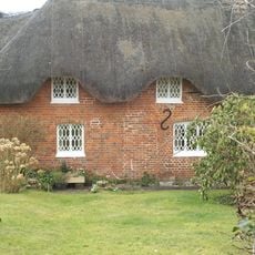
137 And 138, B3043
2.2 km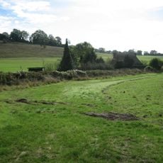
Merdon Castle
3.1 km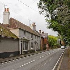
Wilsons The Grocers
2.8 km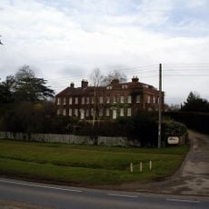
Ampfield House
857 m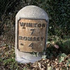
Milestone 25 Metres East Of Ampfield Primary School
310 m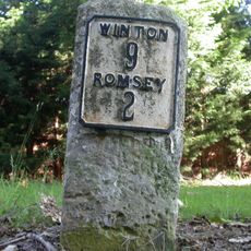
Milestone 25 Metres North East Of Junction With Crampmoor Lane
3.1 km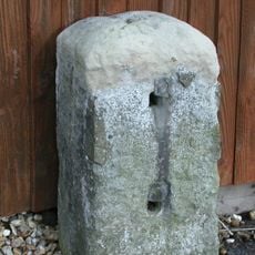
Milestone 20 Metres East Of Junction With Nutburn Lane
2.9 km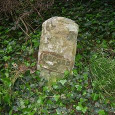
Milestone 50 Metres South Of Red House
2.1 km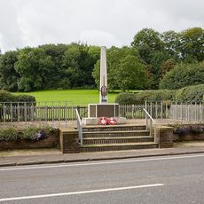
Hursley War Memorial
2.7 km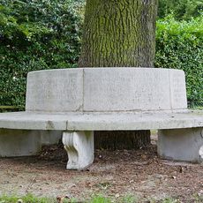
Hursley Park War Memorial Seat
2.4 km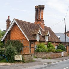
42, A3090
2.7 km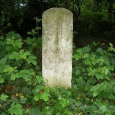
Milestone, Cuckoo bushes; opp. 249 Hursley Road,
2.6 km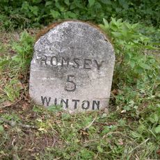
Milestone, Petty Priest Copse
1.2 km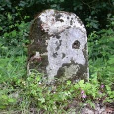
Milestone, Straight Mile; opp. jcn Jermyns Lane
1.7 kmVisited this place? Tap the stars to rate it and share your experience / photos with the community! Try now! You can cancel it anytime.
Discover hidden gems everywhere you go!
From secret cafés to breathtaking viewpoints, skip the crowded tourist spots and find places that match your style. Our app makes it easy with voice search, smart filtering, route optimization, and insider tips from travelers worldwide. Download now for the complete mobile experience.

A unique approach to discovering new places❞
— Le Figaro
All the places worth exploring❞
— France Info
A tailor-made excursion in just a few clicks❞
— 20 Minutes