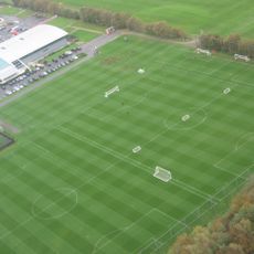
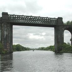
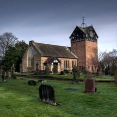
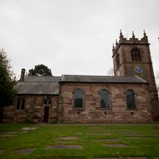
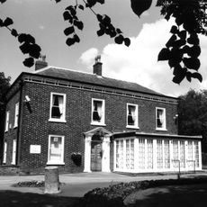
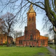
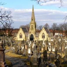
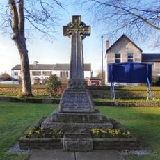
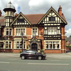
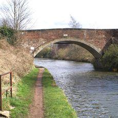
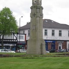
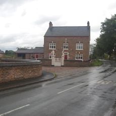
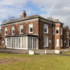
Carrington, village and civil parish in the Metropolitan Borough of Trafford, Greater Manchester, England
Location: Trafford
Shares border with: Flixton
GPS coordinates: 53.43100,-2.39200
Latest update: April 3, 2025 05:55
Trafford Training Centre
1.9 km
Cadishead Viaduct
2.5 km
St Martin's Church, Ashton upon Mersey
3.2 km
St Michael's Church
1.4 km
Flixton House
1.7 km
St Alban's Church, Broadheath
4.1 km
St George's Church, Carrington
1.3 km
Birch Moss Covert Nature Reserve
2.1 km
Church of Saint Mary Magdalene
3.5 km
Church of St Mary The Virgin
3.3 km
Church of St Clement
3.2 km
Church of St Mary
2.5 km
Sale And Brooklands Cemetery Chapel
4.6 km
War Memorial in St Mary's Churchyard, Davyhulme
3.3 km
The Volunteer Hotel
4.6 km
Seamon's Moss Bridge
4.3 km
Davyhulme Circle War Memorial
3.8 km
Linotype Works Engine House and Chimney Base
4.4 km
Dunham Town War Memorial
4.8 km
Dunham School Bridge
4.6 km
St Martin's, Ashton-upon-Mersey War Memorial
3.1 km
Manor Farmhouse with forecourt railings and gates
5 km
The Main Office Block To The Linotype Works
4.4 km
Urmston Memorial Cross
3.3 km
The Village Farmhouse including gatepiers
5 km
Saint Martin's School The Old School House
3.4 km
Dunham School
4.6 km
Flixton House And Outbuilding Adjoining Immediately North Of Flixton House
1.7 kmReviews
Visited this place? Tap the stars to rate it and share your experience / photos with the community! Try now! You can cancel it anytime.
Discover hidden gems everywhere you go!
From secret cafés to breathtaking viewpoints, skip the crowded tourist spots and find places that match your style. Our app makes it easy with voice search, smart filtering, route optimization, and insider tips from travelers worldwide. Download now for the complete mobile experience.
A unique approach to discovering new places❞
— Le Figaro
All the places worth exploring❞
— France Info
A tailor-made excursion in just a few clicks❞
— 20 Minutes