
Upton, village and civil parish in Peterborough, Cambridgeshire, England
Location: City of Peterborough
GPS coordinates: 52.59072,-0.36728
Latest update: March 23, 2025 13:59
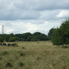
Castor Hanglands National Nature Reserve
1.7 km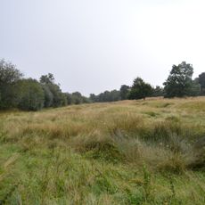
Southorpe Paddock
2.8 km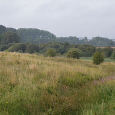
Sutton Heath and Bog
1.9 km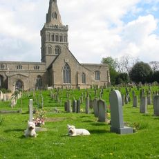
Church of St Kyneburgha, Castor
2.6 km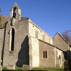
Church of St Michael
2.1 km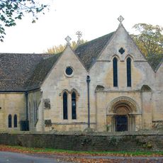
Parish Church of St John the Baptist
2.5 km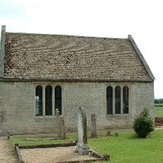
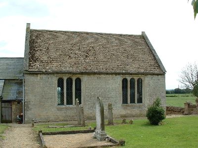
Church of St John the Baptist
340 m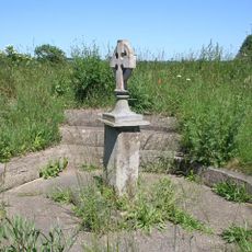
Sutton Cross
1.6 km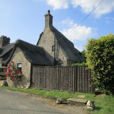
Elizabethan Cottage
145 m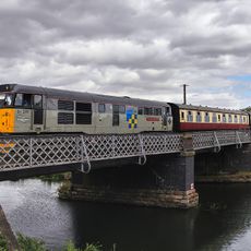
Viaduct To East Of Wansford Station
2.8 km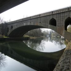
Wansford Bridge
3.3 km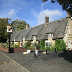
The Fitzwilliam Arms
2.6 km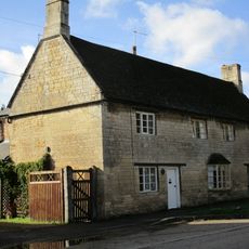
43 And 45, Peterborough Road
2.6 km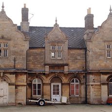
Main Building, Wansford Railway Station
2.9 km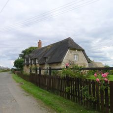
Keepers Cottage
136 m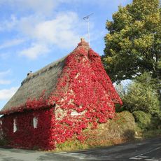
Stone Lea
2.6 km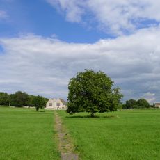
Shrunken village at Upton
236 m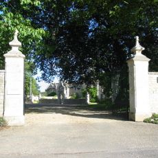
Gateway And Boundary Wall To Forecourt Of Stibbington Hall
2.5 km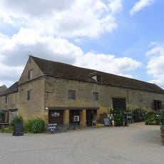
Scotsmans Lodge
2.7 km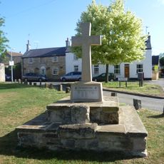
Remains Of Village Cross
2.4 km
Stibbington Hall
2.5 km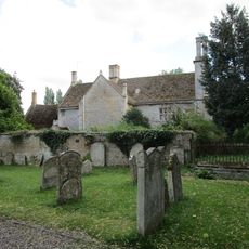
The Old Rectory
2.5 km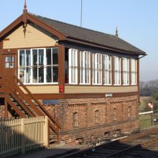
Wansford Signal Box
2.8 km
Chest Tomb Circa 10 Metres East Of Chancel Of Parish Church Of St John The Baptist
2.5 km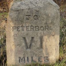
Milestone, 400m NE of Sutton village W of roundabout
1.4 km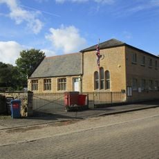
Village Hall
2.6 km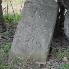
Milestone, just E of petrol station on opposite side of road
2.5 km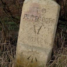
Milestone, 350m W of Ailsworth village
1.7 kmVisited this place? Tap the stars to rate it and share your experience / photos with the community! Try now! You can cancel it anytime.
Discover hidden gems everywhere you go!
From secret cafés to breathtaking viewpoints, skip the crowded tourist spots and find places that match your style. Our app makes it easy with voice search, smart filtering, route optimization, and insider tips from travelers worldwide. Download now for the complete mobile experience.

A unique approach to discovering new places❞
— Le Figaro
All the places worth exploring❞
— France Info
A tailor-made excursion in just a few clicks❞
— 20 Minutes