
Hollacombe, village and civil parish in Torridge, Devon, United Kingdom
Dunsland
4.1 km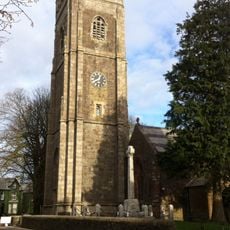
St Peter's and St Paul's Church, Holsworthy
3.7 km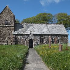
Church of St Petrock
607 m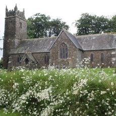
Church of St Peter and St James
5.8 km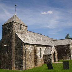
Church of St John the Baptist and the Seven Maccabees
4.6 km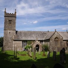
Church of St Peter
6.4 km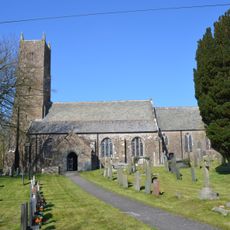
Church of St Swithin
6.5 km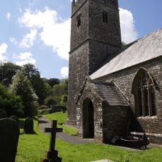
Church of All Saints
6.4 km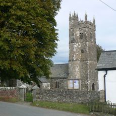
Church of St Peter
7.3 km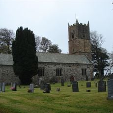
Church of St Leonard
4.3 km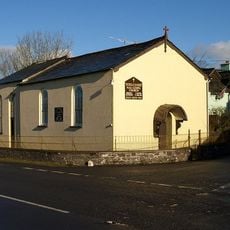
Methodist Chapel
1.9 km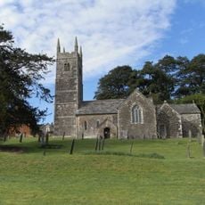
Church of the Holy Cross
7.5 km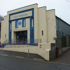
Hats Theatre
3.8 km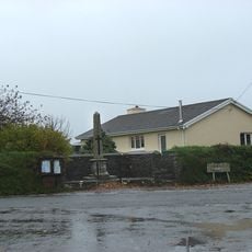
Woodacott Cross War Memorial
5.5 km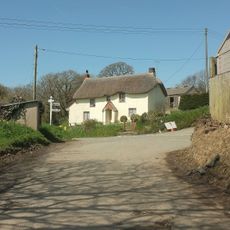
Strawberry Bank Strawberry Bank (Thatched Cottage) Thatched Cottage
8.2 km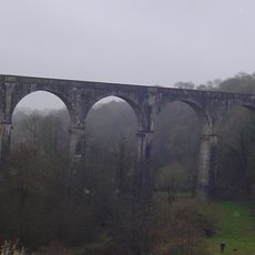
Derriton Viaduct
4.1 km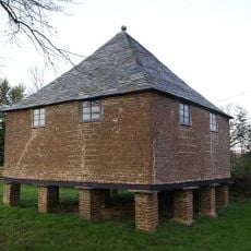
Granary About 30 Metres North West Of Tetcott Manor
7.5 km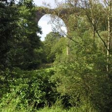
Holsworthy Viaduct
3.5 km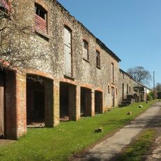
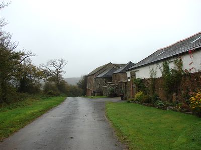
Range Of Farmbuildings About 30M South West Of Hayne Farmhouse
363 m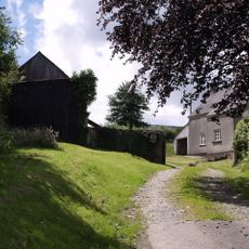
Home Farm
6.3 km
Eastacombe Farmhouse
3.7 km
Wayside cross at Halwill on a roadside 40m south east of the church
5.8 km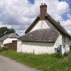
West Chilla Farmhouse
6.4 km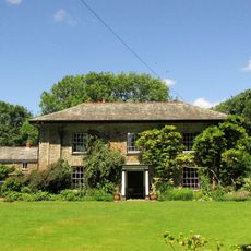
The Old Rectory And Walls Enclosing Garden To North East
6.7 km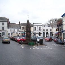
Market Cross
3.7 km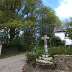
Wayside cross 120m south west of All Saints' Church
6.3 km
Bowl barrow on Ugworthy Moor 510m south of West Ugworthy House
7.6 km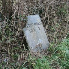
Milestone, 250m E of Stapledon Farm
1.6 kmVisited this place? Tap the stars to rate it and share your experience / photos with the community! Try now! You can cancel it anytime.
Discover hidden gems everywhere you go!
From secret cafés to breathtaking viewpoints, skip the crowded tourist spots and find places that match your style. Our app makes it easy with voice search, smart filtering, route optimization, and insider tips from travelers worldwide. Download now for the complete mobile experience.

A unique approach to discovering new places❞
— Le Figaro
All the places worth exploring❞
— France Info
A tailor-made excursion in just a few clicks❞
— 20 Minutes