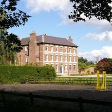
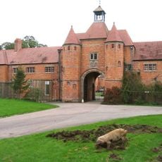
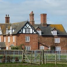
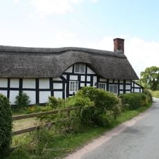
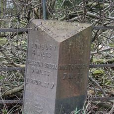
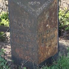
Cholmondeley, village and civil parish in Cheshire, United Kingdom
Location: Cheshire East
Shares border with: Ridley, Faddiley, Chorley, Wrenbury-cum-Frith, Norbury, No Man's Heath and District, Egerton, Bulkeley
GPS coordinates: 53.05709,-2.69164
Latest update: March 2, 2025 20:59
Cholmondeley Castle
94 m
Bulkeley Hall
2.8 km
Woodhey Chapel, Faddiley
3.9 km
Holy Trinity Church, Bickerton
3.5 km
St Wenefrede's Church, Bickley
2.3 km
St Nicholas' Chapel, Cholmondeley
107 m
Bulkeley Methodist Church
3.2 km
Woodhey Cross
4.2 km
Milepost, Cholmondeley Cross Roads
1.7 km
Scotch Farm
433 m
Woodhey Hall
3.8 km
Stokes Cottage
3.6 km
Gates and screen across the main (south west) approach to Cholmondeley Castle
257 m
Bickley Hall Farmhouse, and attached wing of farm buildings
3.6 km
Somerset Lodge
231 m
Nantwich Lodge
1.3 km
Barn south of Woodhey Hall
3.8 km
Beeston Lodge
2.1 km
Temple in the Temple Gardens
211 m
Walled enclosure south of Woodhey Chapel
3.9 km
Sandstone chimney to former Copper Mine
3.6 km
Brook Farmhouse
4.7 km
Gate piers north of Spurstow Lower Hall
4.8 km
Stable building south east of Woodhey Chapel
3.8 km
Milepost, Ridley Bank Farm
3.8 km
Milepost, N of Beeston Lodge
2.2 km
Milepost, NW of Mount Pleasant Farm
3.7 km
Milepost, N of Croxton Green
3.1 kmReviews
Visited this place? Tap the stars to rate it and share your experience / photos with the community! Try now! You can cancel it anytime.
Discover hidden gems everywhere you go!
From secret cafés to breathtaking viewpoints, skip the crowded tourist spots and find places that match your style. Our app makes it easy with voice search, smart filtering, route optimization, and insider tips from travelers worldwide. Download now for the complete mobile experience.
A unique approach to discovering new places❞
— Le Figaro
All the places worth exploring❞
— France Info
A tailor-made excursion in just a few clicks❞
— 20 Minutes