
Worplesdon, village and civil parish in Surrey, UK
Location: Guildford
Shares border with: Mayford
GPS coordinates: 51.27220,-0.61170
Latest update: March 6, 2025 10:02
Sutton Place
4.2 km
Guildford Cathedral
3.8 km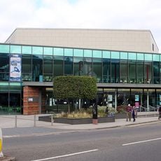
G Live
4.9 km
Stoke Park
4.4 km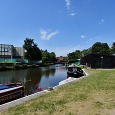
Dapdune Wharf
4 km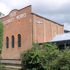
Electric Theatre
4.7 km
Guildford Black Friary
4.1 km
Rodboro Buildings
4.6 km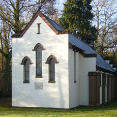
All Souls' Church, Sutton Green
3.8 km
Lewis Elton Gallery
3.6 km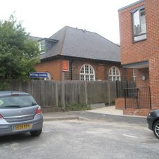
Bethel Chapel Guildford
4.7 km
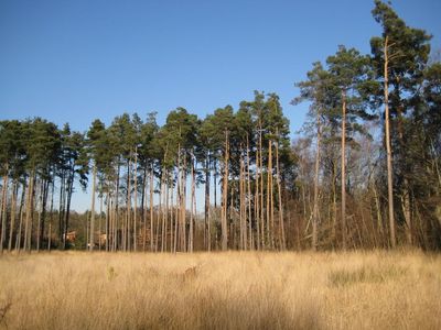
Littlefield Common
1.3 km
Church of St Saviour
4.5 km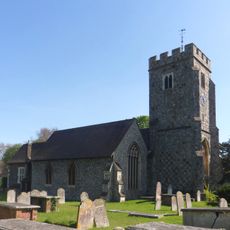
Church of St John the Evangelist
4 km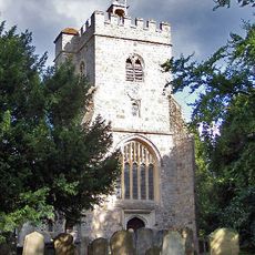
Church of St Mary the Virgin
362 m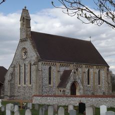
Church of St Edward the Confessor
3.6 km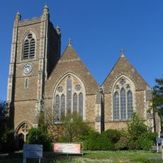
Christ Church
5.1 km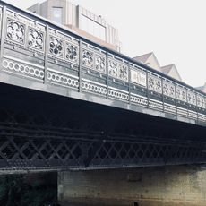
Onslow Bridge
4.6 km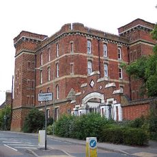
Keep And Attached Gateway, Former Stoughton Barracks
2.4 km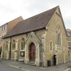
Former Chapel At North West End Of Ward Street Now Cyrenian House
4.7 km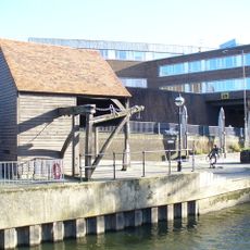
The Treadwheel Crane
4.8 km
Friends Meeting House
4.8 km
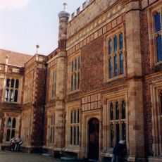
Somerset House
5 km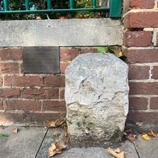
Boundary Stone Adjoining 193 To Right, Opposite Old Grammar School
4.9 km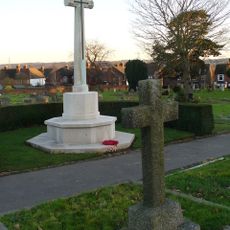
Stoke New Cemetery Cross of Sacrifice, Guildford
3 km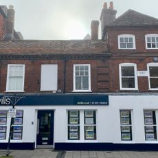
244, 246 And 246A, High Street
5 km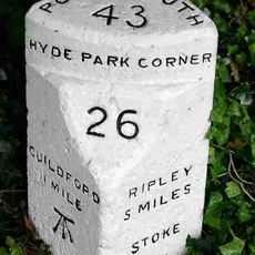
Milestone, London Road, Stoke, at traffic island jct with A25
4.8 km
Milestone, Epsom Road, E of jct with Hunter Road
5.2 kmVisited this place? Tap the stars to rate it and share your experience / photos with the community! Try now! You can cancel it anytime.
Discover hidden gems everywhere you go!
From secret cafés to breathtaking viewpoints, skip the crowded tourist spots and find places that match your style. Our app makes it easy with voice search, smart filtering, route optimization, and insider tips from travelers worldwide. Download now for the complete mobile experience.

A unique approach to discovering new places❞
— Le Figaro
All the places worth exploring❞
— France Info
A tailor-made excursion in just a few clicks❞
— 20 Minutes