
North Aston, village and civil parish in Cherwell district, Oxfordshire, England
Location: Cherwell
Shares border with: Deddington, Duns Tew, Middle Aston, Somerton, Souldern
GPS coordinates: 51.95600,-1.30900
Latest update: March 2, 2025 23:04
Deddington Castle
2.8 km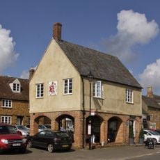
Town Hall
3 km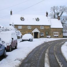
The White Horse Inn
2.1 km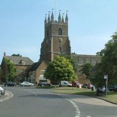
Church of St Peter and St Paul
3 km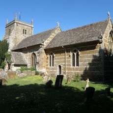
Church of St Mary Magdalene
1.9 km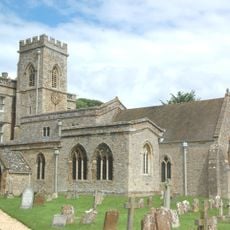
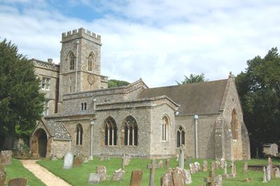
Church of St Mary
471 m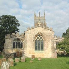
Church of St James
2.1 km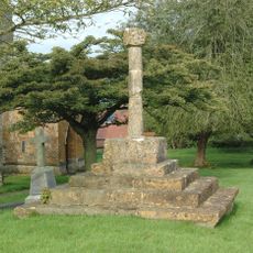
Churchyard Cross Approximately 12 Metres North Of Church Of St James
2.1 km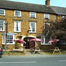
Crown And Tuns Public House
2.8 km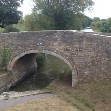
Bridge At Somerton Lock
2.2 km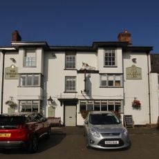
Unicorn Hotel
2.9 km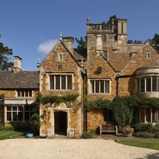
Castle House
3 km
Post Office
3 km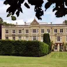
North Aston Hall
446 m
Kings Arms Public House
3.1 km
The Ridge House
1.9 km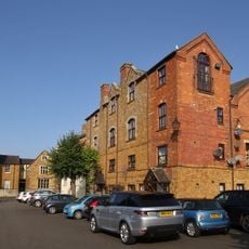
Old Corner House And Attached Wall
3 km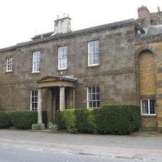
Deddington Manor
2.7 km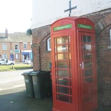
K6 Telephone Kiosk
3 km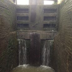
Somerton Lock
2.1 km
The Old Vicarage
2.9 km
Unicorn Antiques
3 km
The Hermitage
3 km
Wirral House
3.1 km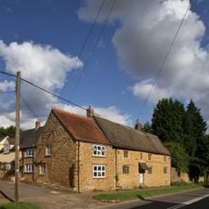
Treholford
2.6 km
The Leadenporch House
2.7 km
Ivy House
3 km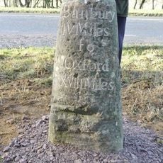
Milestone, S of turn to village, North of lay-by
2.1 kmVisited this place? Tap the stars to rate it and share your experience / photos with the community! Try now! You can cancel it anytime.
Discover hidden gems everywhere you go!
From secret cafés to breathtaking viewpoints, skip the crowded tourist spots and find places that match your style. Our app makes it easy with voice search, smart filtering, route optimization, and insider tips from travelers worldwide. Download now for the complete mobile experience.

A unique approach to discovering new places❞
— Le Figaro
All the places worth exploring❞
— France Info
A tailor-made excursion in just a few clicks❞
— 20 Minutes