
East Worlington, human settlement in United Kingdom
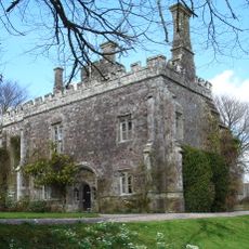
Affeton Castle
919 m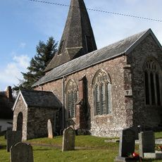
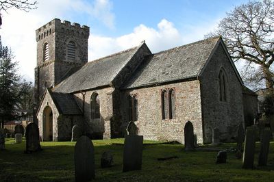
Church of St Mary
912 m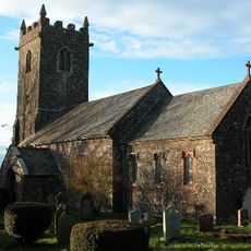
Church of St David
3.1 km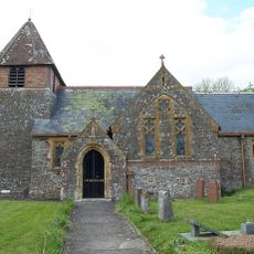
Church of St Peter
5.4 km
Church of St. Mary
3 km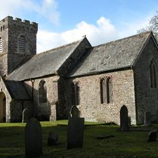
Church of St Mary
1.2 km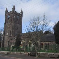
Church of St John the Baptist
4 km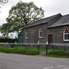
Sharon Methodist Chapel At Thornham Chapel Cross
1.6 km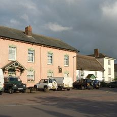
The Angel Inn
4 km
Quince Cottage And Attached Cottage To Left
5.5 km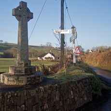
East and West Worlington War Memorial
1.1 km
The Mitre Hotel
4.1 km
Farriers Cottage
5.3 km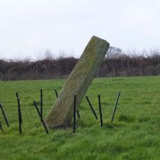
The Long Stone, 275m south east of Horseford Lodge
2.1 km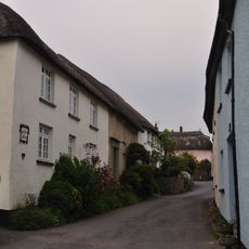
Lantern Cottage
4 km
South Coombe Farmhouse And Barns
5.4 km
Milestone At Ss 727 107
4.9 km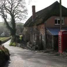
Oak Ash And Thorn Including A Raised Pavement In Front
1.1 km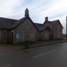
Former School And School-House Now Offices And Workshop To Valley Farmers
3.9 km
Milestone At Ss 725 116
4.6 km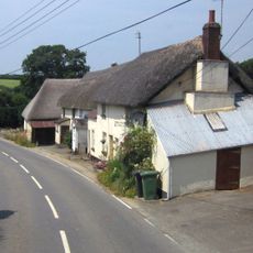
Rosdene
5.5 km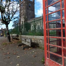
K6 Telephone Kiosk, The Square
4 km
Burridge Camp
2.6 km
Former Forge Now Garage On Roadside Immediately North Of Cottage To North Of Quince Cottage
5.5 km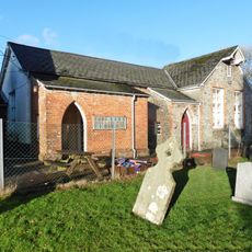
School House
1.2 km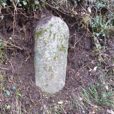
Milestone, Hele Lane Hill, 150m up hill from Tidlake Farm
4.4 km
Milestone, Great Hole Farm, on left side of entrance
5.2 km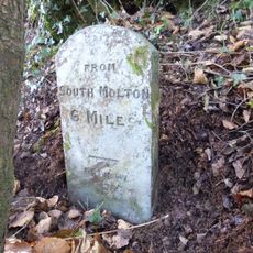
Milestone, 50m SE of Hillside Cross, a mile S of Meshaw
4.7 kmVisited this place? Tap the stars to rate it and share your experience / photos with the community! Try now! You can cancel it anytime.
Discover hidden gems everywhere you go!
From secret cafés to breathtaking viewpoints, skip the crowded tourist spots and find places that match your style. Our app makes it easy with voice search, smart filtering, route optimization, and insider tips from travelers worldwide. Download now for the complete mobile experience.

A unique approach to discovering new places❞
— Le Figaro
All the places worth exploring❞
— France Info
A tailor-made excursion in just a few clicks❞
— 20 Minutes