
Linstead Magna, human settlement in England
Location: Suffolk Coastal
Location: East Suffolk
GPS coordinates: 52.34000,1.40600
Latest update: March 20, 2025 12:08

Heveningham Hall
4.5 km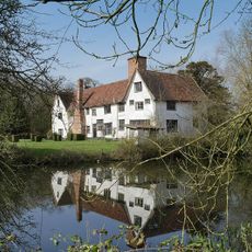
Ufford Hall
5.3 km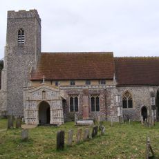
Church of St Mary
2.9 km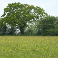
Laurel Farm Meadow
4.6 km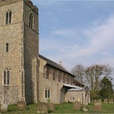
Church of St Margaret
4.4 km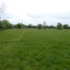
Winks Meadow
3.5 km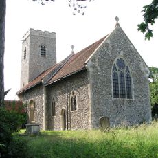
Church of St Michael
3.2 km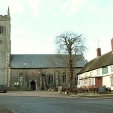
Church of All Saints'
5 km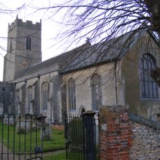
Church of St John the Baptist
4.4 km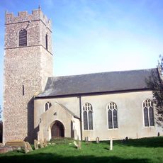
Church of St Mary
3.8 km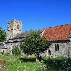
Church of St James
4.4 km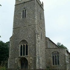
Church of St Mary
2.1 km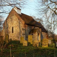
Church of St Margaret
1.9 km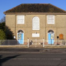
Baptist Chapel
5.2 km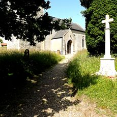
Chediston War Memorial
3.8 km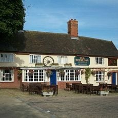
The Royal Oak
5 km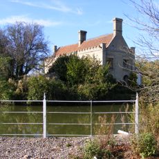
Chediston Grange
3.2 km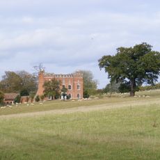
Huntingfield Hall
3.3 km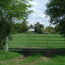
Blyth Turrets
4.2 km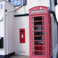
K6 Telephone Kiosk Outside Post Office
5.1 km
Old Guildhall, Laxfield
5.1 km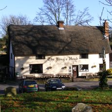
The King's Head
4.9 km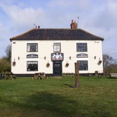
Huntingfield Arms
3.6 km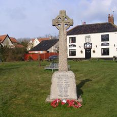
Huntingfield War Memorial Cross
3.6 km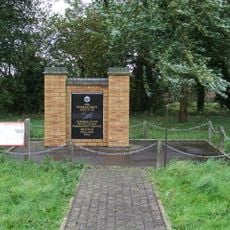
491st Bombardment Group USAAF Memorial, Metfield
2.7 km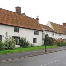
The Old Bakery
5.1 km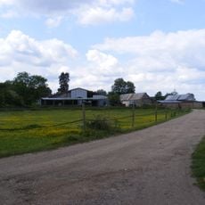
Lower Hall Farmhouse
400 m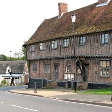
Laxfield & District Museum
5.1 kmVisited this place? Tap the stars to rate it and share your experience / photos with the community! Try now! You can cancel it anytime.
Discover hidden gems everywhere you go!
From secret cafés to breathtaking viewpoints, skip the crowded tourist spots and find places that match your style. Our app makes it easy with voice search, smart filtering, route optimization, and insider tips from travelers worldwide. Download now for the complete mobile experience.

A unique approach to discovering new places❞
— Le Figaro
All the places worth exploring❞
— France Info
A tailor-made excursion in just a few clicks❞
— 20 Minutes