
Nuthurst, village in the United Kingdom
Location: Horsham
Elevation above the sea: 54 m
GPS coordinates: 51.02263,-0.30076
Latest update: March 7, 2025 23:34
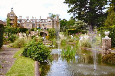
Leonardslee
2.9 km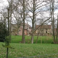
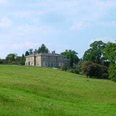
Chesworth House
3.7 km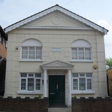
Madina Mosque, Horsham
4.5 km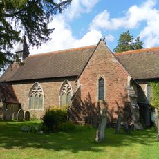
Holy Innocents Church, Southwater
4.1 km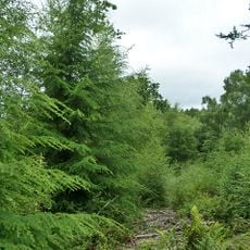
St Leonard's Forest SSSI
4.3 km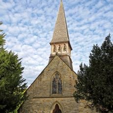
The Parish Church of St Andrew
54 m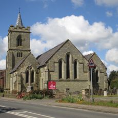
The Parish Church of the Holy Trinity
3 km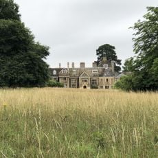
Sedgwick Park
1 km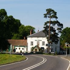
The Plough Inn
3 km
The Old Post Office
112 m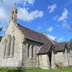
St. John's Church
3.7 km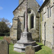
Lower Beeding War Memorial
3 km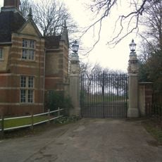
East Lodge and gateway, Christ's Hospital School
4.5 km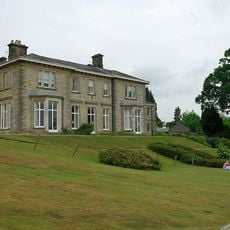
Leonardslee
2.9 km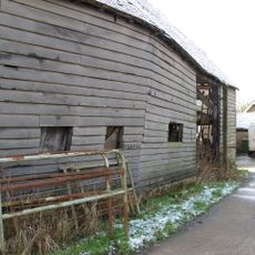
The Old Farmhouse At Nuthurst Farm
378 m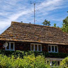
The Dell
82 m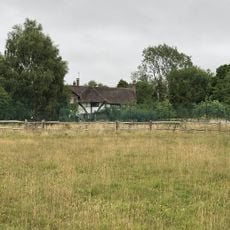
Little Coltstaple Farm
2 km
Cook's Farmhouse
245 m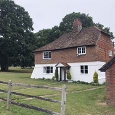
Elliotts Farmhouse
1.6 km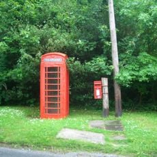
K6 Telephone Kiosk Opposite The Old Post Office
108 m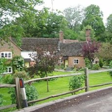
Hammer Pond Guest House
3.8 km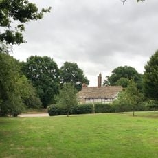
Stakers Farmhouse
2.5 km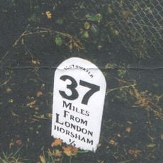
Milestone, Worthing Road, just S of railway bridge
4.6 km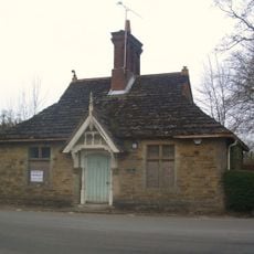
Old Lodge To North East Of Chirst's Hospital
4.5 km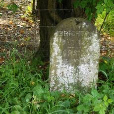
Milestone, under trees
2.5 km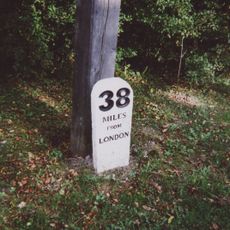
Milestone, Worthing Road, S of A24/B2237 roundabout
3.7 km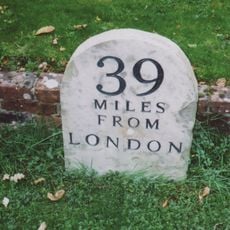
Milestone, Worthing Road, in front of "The Old School"
3.6 km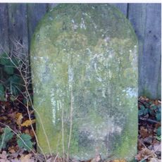
Milestone, Mill Straight, W Fieldings
3.5 kmVisited this place? Tap the stars to rate it and share your experience / photos with the community! Try now! You can cancel it anytime.
Discover hidden gems everywhere you go!
From secret cafés to breathtaking viewpoints, skip the crowded tourist spots and find places that match your style. Our app makes it easy with voice search, smart filtering, route optimization, and insider tips from travelers worldwide. Download now for the complete mobile experience.

A unique approach to discovering new places❞
— Le Figaro
All the places worth exploring❞
— France Info
A tailor-made excursion in just a few clicks❞
— 20 Minutes