
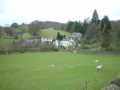
Crook, village and civil parish in Cumbria, UK
Location: South Lakeland
Shares border with: Cartmel Fell
GPS coordinates: 54.34698,-2.82629
Latest update: March 11, 2025 02:45
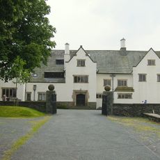
Blackwell Arts and Crafts House
6.3 km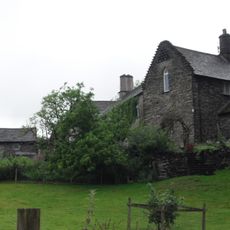
Hollin Hall
1.1 km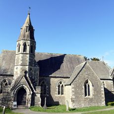
Church of All Saints
2.3 km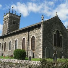
Church of St Anne
4.1 km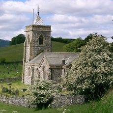
Church of St Mary
4.2 km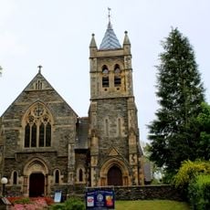
Carver Memorial Chapel
6.1 km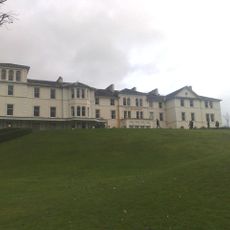
Belsfield Hotel
6.4 km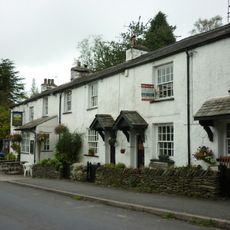
Sun Inn
215 m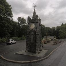
Baddeley Memorial Clock Tower
6.1 km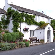
Post Office
4.8 km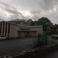
Church of Our Lady of Windermere and St. Herbert
6.1 km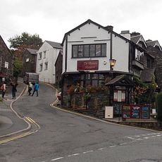
The Spinney
6.3 km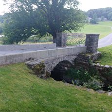
Winster Bridge (that part in Cartmel)
5.4 km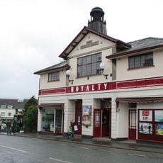
Royalty Cinema
6.2 km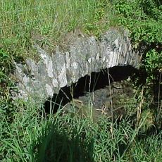
Pack horse bridge beside A5074 a quarter of a mile north west of High Mill House
5.2 km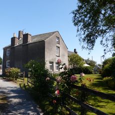
Fallen Yew Farmhouse
2.7 km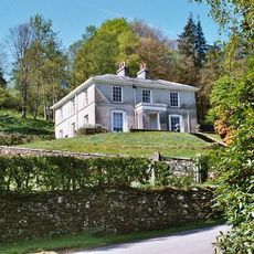
Winster House
5.7 km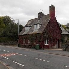
Ye Olde Bath House
6.1 km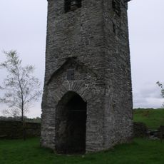
Tower of ruined church of St Catherine
1.4 km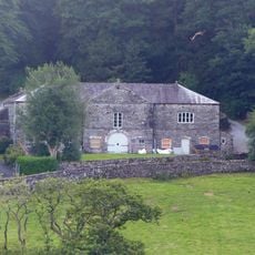
Farm buildings approximately 20 metres to north of Winster House, and adjoining wall
5.7 km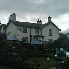
Crag Brow
6.3 km
Bellman Ground
6.4 km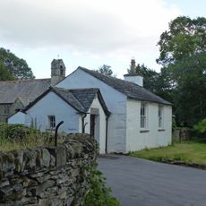
Winster School
5 km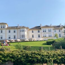
Old Belfield
6.2 km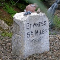
Milestone 10 Metres East Of Junction Of Crook Road And Ratherheath Lane
1.5 km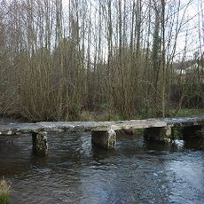
Footbridge Approximately 70 Metres To West Of Dodds Howe
4.3 km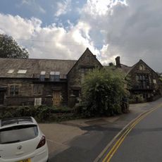
1 Wordsworth Court, Brantfell Road
6.3 km
Milestone, Hollin Bank
3.4 kmVisited this place? Tap the stars to rate it and share your experience / photos with the community! Try now! You can cancel it anytime.
Discover hidden gems everywhere you go!
From secret cafés to breathtaking viewpoints, skip the crowded tourist spots and find places that match your style. Our app makes it easy with voice search, smart filtering, route optimization, and insider tips from travelers worldwide. Download now for the complete mobile experience.

A unique approach to discovering new places❞
— Le Figaro
All the places worth exploring❞
— France Info
A tailor-made excursion in just a few clicks❞
— 20 Minutes