
Coleshill, village and civil parish in Vale of White Horse, Oxfordshire, England
Location: Vale of White Horse
Shares border with: Buscot, Watchfield, Longcot, Great Coxwell
GPS coordinates: 51.64200,-1.66060
Latest update: April 11, 2025 04:41
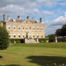
Buscot Park
3.2 km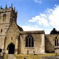
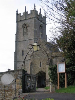
Church of All Saints
50 m
Buscot Park: East Pavilion With Attached Terrace Walls And Gatepier
3.2 km
16 and 17, Church Lane
36 m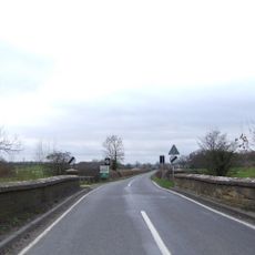
Coleshill Bridge (That Part In Coleshill C.P.)
294 m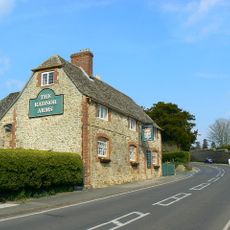
The Radnor Arms Public House
127 m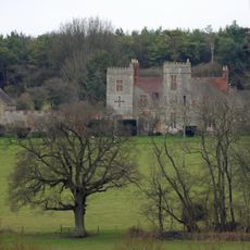
Strattenborough Castle
1.6 km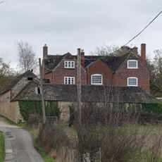
Collymore Farmhouse including former cattle shed range to south east
1.7 km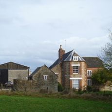
Ashencopse Farmhouse
1.5 km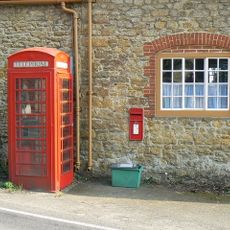
K6 telephone kiosk outside Coleshill Post Office
56 m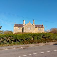
1 and 2
195 m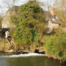
The Mill House
349 m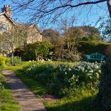
26 And 27
38 m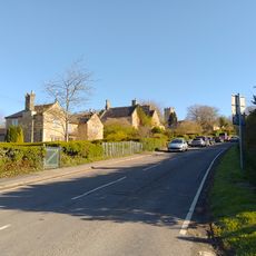
3 And 4
170 m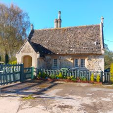
Lower Lodge To Coleshill Park
247 m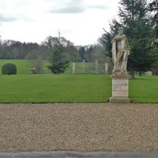
Buscot Park: Southern Screen With Attached Terrace Walls And Gate Piers
3.1 km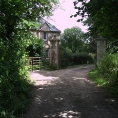
Waterloo Lodge
1.4 km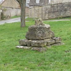
Village Cross
6 m
Courtleaze Farmhouse
179 m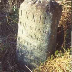
Milestone approximately 70 metres to west of turning to Great Coxwell
3.1 km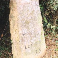
Milepost East Of Wicksted Farmhouse
1.6 km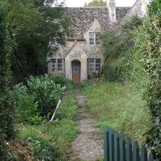
35-37
212 m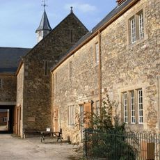
Courtleaze Farm buildings and attached gatepiers and rickyard walls
186 m
52 And 53
232 m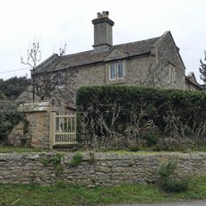
Bushells
37 m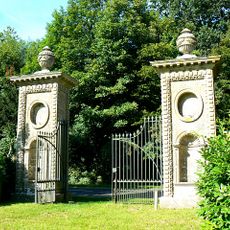
Coleshill Park, Great Piers, including cast iron gates
656 m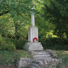
Coleshill War Memorial, Oxfordshire
104 m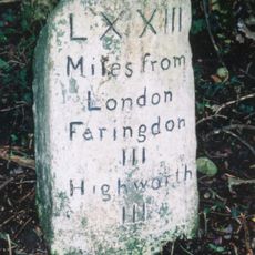
Milestone, W of Colleymore Farm
1.5 kmVisited this place? Tap the stars to rate it and share your experience / photos with the community! Try now! You can cancel it anytime.
Discover hidden gems everywhere you go!
From secret cafés to breathtaking viewpoints, skip the crowded tourist spots and find places that match your style. Our app makes it easy with voice search, smart filtering, route optimization, and insider tips from travelers worldwide. Download now for the complete mobile experience.

A unique approach to discovering new places❞
— Le Figaro
All the places worth exploring❞
— France Info
A tailor-made excursion in just a few clicks❞
— 20 Minutes