
Lund, village and civil parish in East Riding of Yorkshire, United Kingdom
Location: East Riding of Yorkshire
GPS coordinates: 53.91969,-0.52392
Latest update: March 3, 2025 02:25
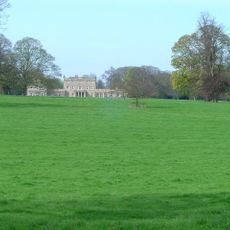
Dalton Hall
3.3 km
Rifle Butts Quarry
9 km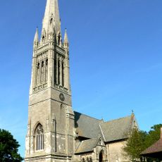
Church of Saint Mary
2.5 km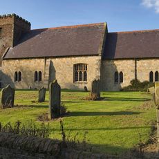
Church of All Saints
3 km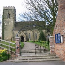
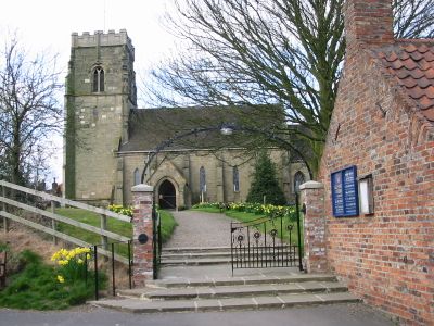
Church of All Saints
82 m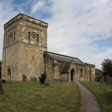
Church of St Mary
4.6 km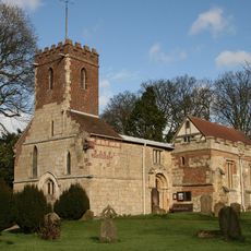
Church of St Mary
2.9 km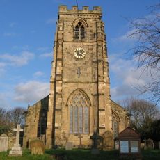
Church of St Andrew
4.3 km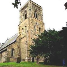
Church of St. Andrew
2.8 km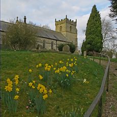
Church of All Saints
5.5 km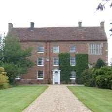
Beswick Hall
4.1 km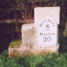
Milestone About 75 Metres East Of East Field Farm
1.7 km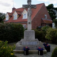
Etton (East Yorkshire) War Memorial
4.7 km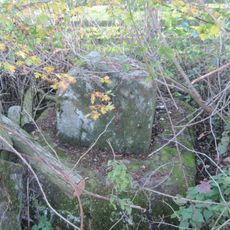
Medieval Wayside Cross, Suggested To Be The Molescroft Cross
5.7 km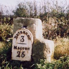
Milestone, Cherry Burton
5.6 km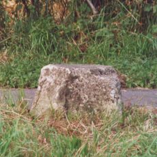
Milestone, ½ mile E of Kilnwick
3.9 km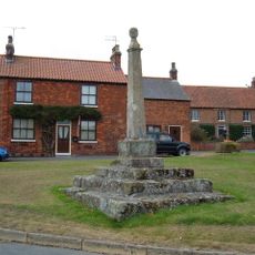
Market Cross
14 m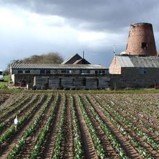
Etton Mill
5.3 km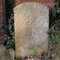
Milestone At Manor Farm
9.3 km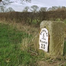
Milestone, 200m N of jct. to South Dalton
2.7 km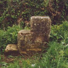
Milestone, ½ mile W of Kilnwick
2.1 km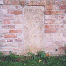
Milestone, Bainton
4.3 km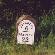
Milestone, ¼ mile N of southern jct. to Lund
1.2 km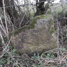
Milestone, just N of Middleton on the Wolds
3.6 km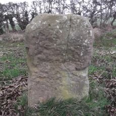
Milestone, 30m W of entrance to Field House Farm
4.9 km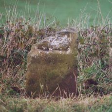
Milestone, ¼ mile N of Leman Wood
4.1 km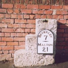
Milestone, Lund, 15 North Road, almost opp church
58 m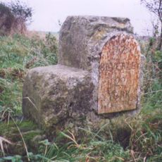
Milestone, W of Hessleskew X rds
8.5 kmVisited this place? Tap the stars to rate it and share your experience / photos with the community! Try now! You can cancel it anytime.
Discover hidden gems everywhere you go!
From secret cafés to breathtaking viewpoints, skip the crowded tourist spots and find places that match your style. Our app makes it easy with voice search, smart filtering, route optimization, and insider tips from travelers worldwide. Download now for the complete mobile experience.

A unique approach to discovering new places❞
— Le Figaro
All the places worth exploring❞
— France Info
A tailor-made excursion in just a few clicks❞
— 20 Minutes