
Hinton Waldrist, village and civil parish in Vale of White Horse district, Oxfordshire, England
Location: Vale of White Horse
GPS coordinates: 51.68891,-1.45798
Latest update: March 25, 2025 03:12
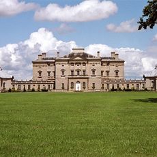
Buckland House
3.6 km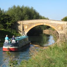
Tadpole Bridge
4.3 km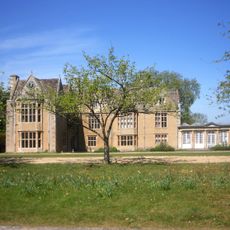
Carswell Manor
5.1 km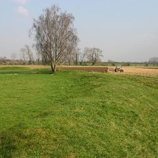
Cherbury Camp
2.8 km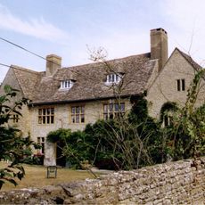
Charney Manor
4.6 km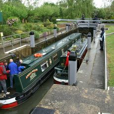
Shifford Lock
2 km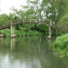
Tenfoot Bridge
2.3 km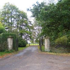
Longworth House
872 m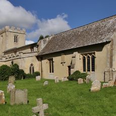
Church of St Mary
941 m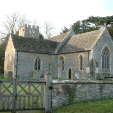
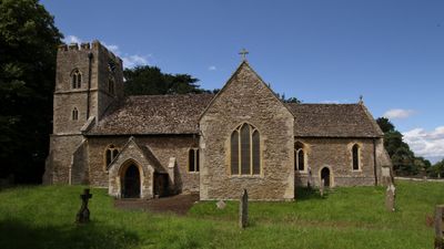
Church of St Margaret, Hinton Waldrist
75 m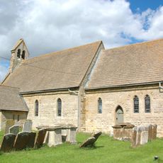
Church of St Mary
2.9 km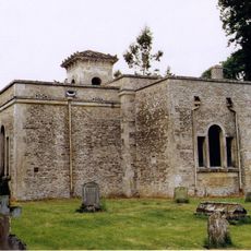
Church of All Saints
2.9 km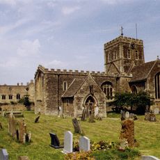
Church of St Mary, Buckland
3.4 km
Church of St John the Baptist
3.3 km
Roman Catholic Church of St George, Buckland
3.5 km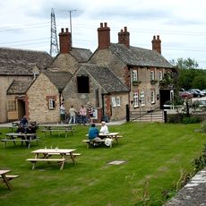
The Trout Inn
4.3 km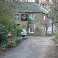
The Lamb Public House
3.6 km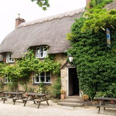
The Blue Boar Public House
1.5 km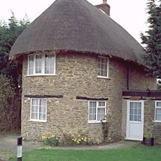
The Round House
1.6 km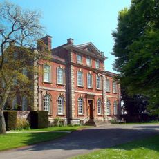
Kingston House
3.4 km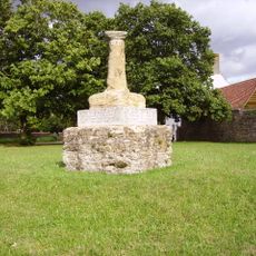
Village Cross
4.4 km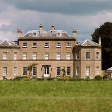
Pusey House
2.8 km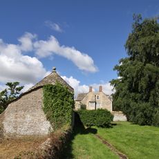
Longworth Manor, Wall And Gazebo 30 Metres East
875 m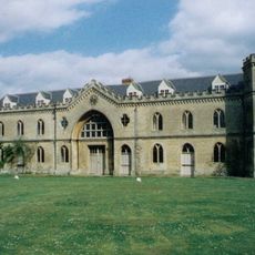
Manor House
3.4 km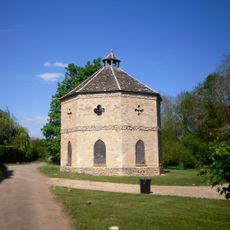
Home Farm Dovecote
4.2 km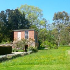
Gazebo, Terrace Walls, Gates, Gatepiers And Wall Approximately 74 Metres North West Of Kingston House
3.4 km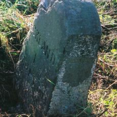
Milestone, Buckland Marsh; Gore Farm
4 km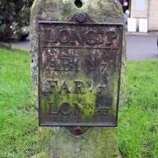
Milestone, Faringdon Road; in front of shops
2.4 kmVisited this place? Tap the stars to rate it and share your experience / photos with the community! Try now! You can cancel it anytime.
Discover hidden gems everywhere you go!
From secret cafés to breathtaking viewpoints, skip the crowded tourist spots and find places that match your style. Our app makes it easy with voice search, smart filtering, route optimization, and insider tips from travelers worldwide. Download now for the complete mobile experience.

A unique approach to discovering new places❞
— Le Figaro
All the places worth exploring❞
— France Info
A tailor-made excursion in just a few clicks❞
— 20 Minutes