
Warbleton, village and civil parish in East Sussex, UK
Location: Wealden
Website: http://warbletoncouncil.org
GPS coordinates: 50.94000,0.28000
Latest update: March 9, 2025 04:11
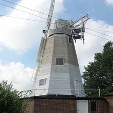
Blackdown Mill
3.7 km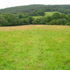
Dallington Forest
5.7 km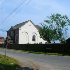
Herstmonceux Free Church
6.9 km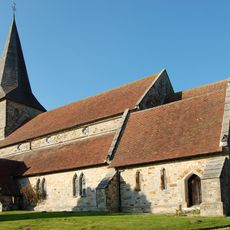
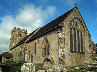
The Parish Church of All Saints
2.2 km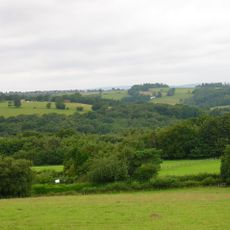
Bingletts Wood
3.7 km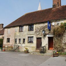
The Star Inn
2.2 km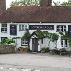
The Horse And Groom Public House
2.4 km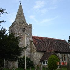
The Parish Church of St Giles, Dallington
5.6 km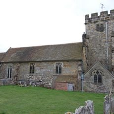
The Parish Church of St Mary
610 m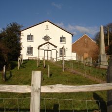
Heathfield Independent Chapel
2.8 km
Old Chapel House
6.6 km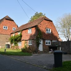
1, Church Hill
694 m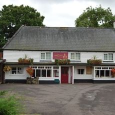
The Three Cups Inn
3.9 km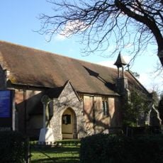
St John the Evangelist
6.1 km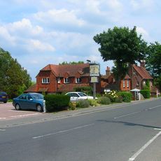
The Sundial Restaurant
6.5 km
Suttons
7.9 km
Kingsley Hill
1.3 km
Thorndale Farmhouse
7 km
Oliver's Hill
6.6 km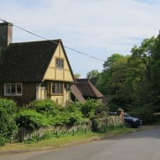
Red Pale Farmhouse
5.9 km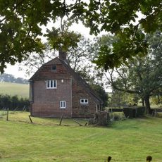
Jenkin's Town
374 m
Barn To North East Of Kingsley Hill House
1.3 km
Marklye
2.4 km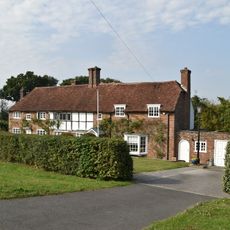
Old School Cottage The Old School House
2.3 km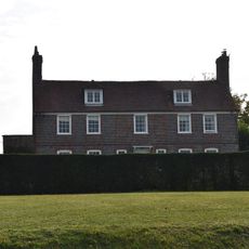
Tom Beckworth
2.4 km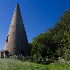
The Sugarloaf
6.8 km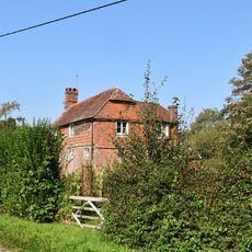
Hunton's Farmhouse
1.7 km
Pleydells
2.5 kmVisited this place? Tap the stars to rate it and share your experience / photos with the community! Try now! You can cancel it anytime.
Discover hidden gems everywhere you go!
From secret cafés to breathtaking viewpoints, skip the crowded tourist spots and find places that match your style. Our app makes it easy with voice search, smart filtering, route optimization, and insider tips from travelers worldwide. Download now for the complete mobile experience.

A unique approach to discovering new places❞
— Le Figaro
All the places worth exploring❞
— France Info
A tailor-made excursion in just a few clicks❞
— 20 Minutes