
Childerley, village in the United Kingdom
Location: South Cambridgeshire
GPS coordinates: 52.23670,-0.01750
Latest update: March 3, 2025 02:41
Overhall Grove
2.1 km
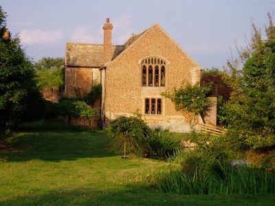
Childerley Hall
168 m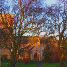
Parish Church of All Saints
2.9 km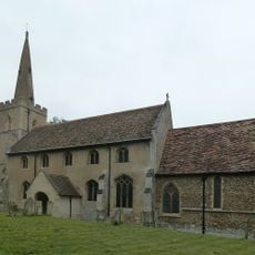
Church of St Mary Magdalene
4.2 km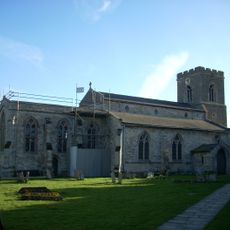
Church of St Peter and St Paul
2.5 km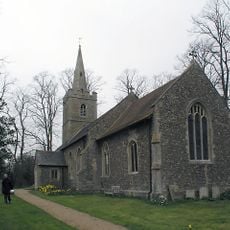
Parish Church of St Mary
3.5 km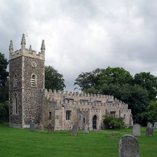
Parish Church of St Peter
2.9 km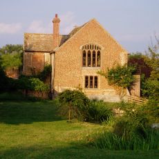
Chapel To South West Of Childerley Hall
155 m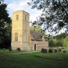
Parish Church of All Saints
2.3 km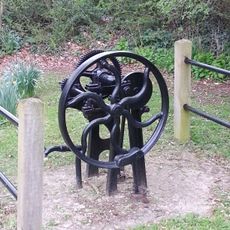
Village Pump South East Of Parish Church
3.5 km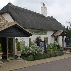
Golden Ball Inn
2.6 km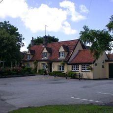
The Blue Lion
3.6 km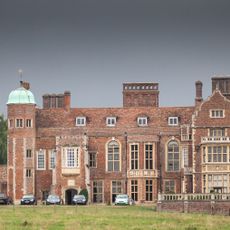
Madingley Hall
4 km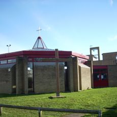
Bar Hill Church
3 km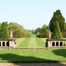
North Terrace Retaining Wall And Balustrade At Pleasure Garden, Madingley Hall
4 km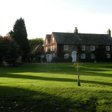
Church Farmhouse
2.8 km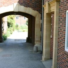
Gateway To Stable Courtyard At Madingley Hall
4 km
Post Office Cottages
2.5 km
Manor Cottage
2.3 km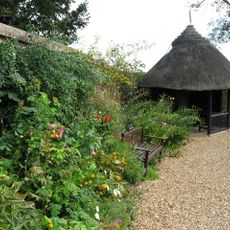
Kitchen Garden Wall, At Madingley Hall
4 km
Bar Hill Library and Post Office
3 km
The Manor House
4.2 km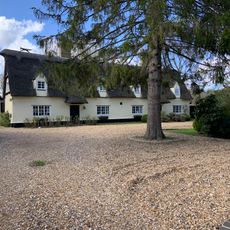
Brook House
4.3 km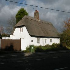
Warrington Farm
2.8 km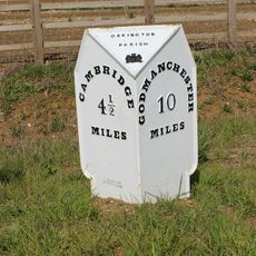
Milestone on A1307 near Bar Hill
3.9 km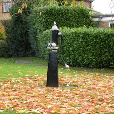
Village Water Pump
2.5 km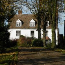
Pages Farmhouse
2.7 km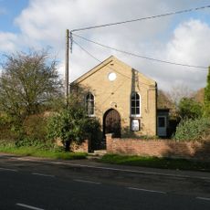
Dry Drayton Methodist Church
2.8 kmVisited this place? Tap the stars to rate it and share your experience / photos with the community! Try now! You can cancel it anytime.
Discover hidden gems everywhere you go!
From secret cafés to breathtaking viewpoints, skip the crowded tourist spots and find places that match your style. Our app makes it easy with voice search, smart filtering, route optimization, and insider tips from travelers worldwide. Download now for the complete mobile experience.

A unique approach to discovering new places❞
— Le Figaro
All the places worth exploring❞
— France Info
A tailor-made excursion in just a few clicks❞
— 20 Minutes