
Childrey, village and civil parish in Vale of White Horse, Oxfordshire, England
Location: Vale of White Horse
Shares border with: Sparsholt, Letcombe Bassett, West Challow, Stanford in the Vale
Website: http://childrey.org.uk
GPS coordinates: 51.59300,-1.45300
Latest update: March 3, 2025 01:20
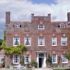
Manor Farmhouse
1.2 km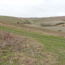
Hackpen, Warren & Gramp's Hill Downs
4.6 km
Highlands Farm Pit
4.5 km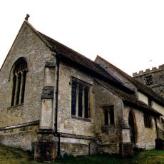
Church of St Andrew
1.9 km
Church of St John the Baptist
5.4 km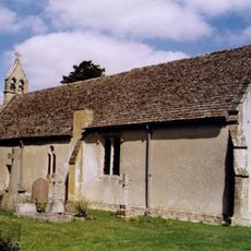
Church of St Laurence
1.3 km
Church of St Michael
3.5 km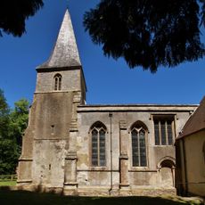
Church of the Holy Rood
3.4 km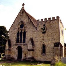
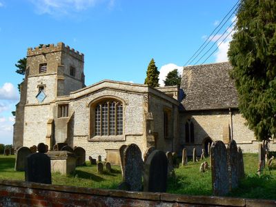
Church of St Nicholas
151 m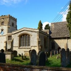
Church of St Mary
2.1 km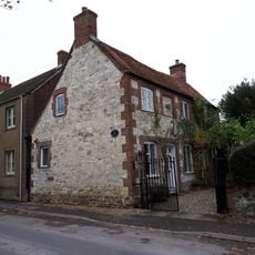
The Old Chapel House And Attached Gates
5.3 km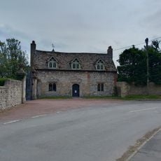
Kingston Lisle Park, The Lodge And Attached Gate Piers
5.5 km
Challow Industries
49 m
Manor Farmhouse
5.3 km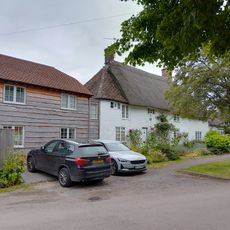
Mallards Cottage And The Old Post Office
2 km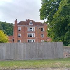
Thornhill House
5.4 km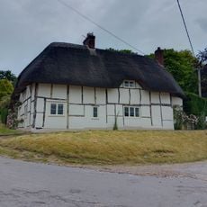
Rectory Cottage And Cottage Adjoining To West
3.4 km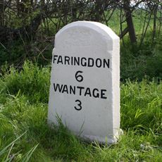
Milestone At Su 3612 9010
2.5 km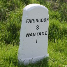
Milestone At Sp 3819 8795
493 m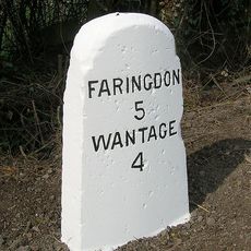
Milestone At Su 3505 9126
4.1 km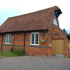
Village Hall
3.4 km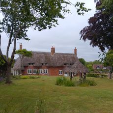
Church End
3.5 km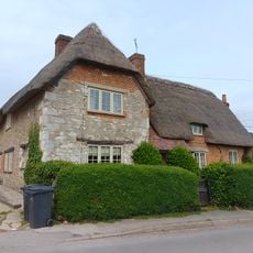
Little Farmhouse
5.5 km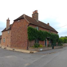
Hazeldene, With Railings Attached To Front
2 km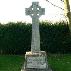
Kingston Lisle War Memorial
5.3 km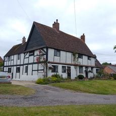
Roselea And Roselea Cottage
2 km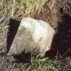
Milestone, Icknield Way; before Sparsholt X-roads
2.9 km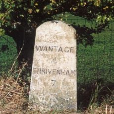
Milestone, Icknield Way; top of rise by Westcot
4.4 kmVisited this place? Tap the stars to rate it and share your experience / photos with the community! Try now! You can cancel it anytime.
Discover hidden gems everywhere you go!
From secret cafés to breathtaking viewpoints, skip the crowded tourist spots and find places that match your style. Our app makes it easy with voice search, smart filtering, route optimization, and insider tips from travelers worldwide. Download now for the complete mobile experience.

A unique approach to discovering new places❞
— Le Figaro
All the places worth exploring❞
— France Info
A tailor-made excursion in just a few clicks❞
— 20 Minutes