
Cold Higham, village and civil parish in Northamptonshire, United Kingdom
Location: West Northamptonshire
GPS coordinates: 52.17590,-1.04360
Latest update: March 3, 2025 02:07

Gayton Manor House
5.2 km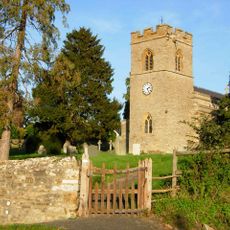
Tiffield St. John the Baptist Church
4.8 km
Ramsden Corner Plantation
4.3 km
Church of St Martin
2.4 km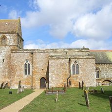
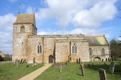
Church of St Luke
771 m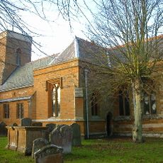
Church of St Peter and St Paul
5.2 km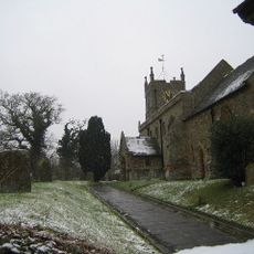
Church of St Mary
4.4 km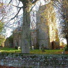
Church of St Peter and St Paul
4.6 km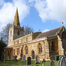
Church of St Michael and All Angels
4.3 km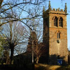
Church of St Mary the Virgin
5.3 km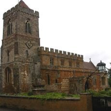
Church of St Mary
4.1 km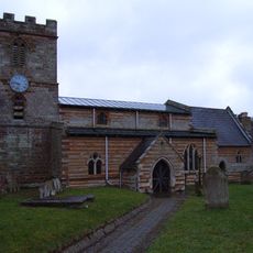
Church of St Michael
5 km
Church of Holy Cross
1.8 km
Church of St Michael
4.5 km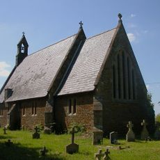
Church of St James
3.4 km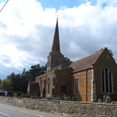
Church of St Bartholomew
3.9 km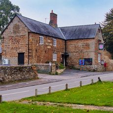
Old Red Lion Public House
2.4 km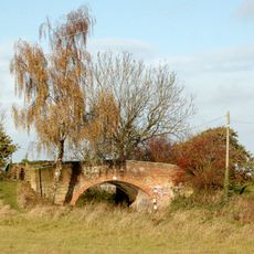
Bridge Number 45
5.5 km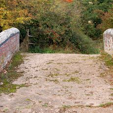
Bridge Number 33
4.1 km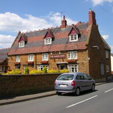
The Bakers Arms Public House
4.4 km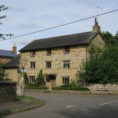
Bridge House
4.7 km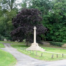
Litchborough War Memorial
2.4 km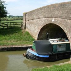
Bridge Number 42
4.6 km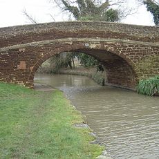
Bridge Number 43
4.8 km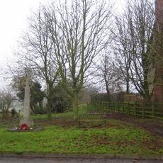
Church Stowe War Memorial
4.3 km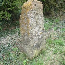
Milestone, N of Fosters Booth
1.2 km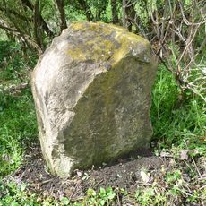
Milestone, Geese Bridge
2.1 km
Milestone, above Stowehill Railway Tunnel
5.1 kmVisited this place? Tap the stars to rate it and share your experience / photos with the community! Try now! You can cancel it anytime.
Discover hidden gems everywhere you go!
From secret cafés to breathtaking viewpoints, skip the crowded tourist spots and find places that match your style. Our app makes it easy with voice search, smart filtering, route optimization, and insider tips from travelers worldwide. Download now for the complete mobile experience.

A unique approach to discovering new places❞
— Le Figaro
All the places worth exploring❞
— France Info
A tailor-made excursion in just a few clicks❞
— 20 Minutes