
Bourton, village and civil parish in Vale of White Horse, Oxfordshire, England
Location: Vale of White Horse
Shares border with: Shrivenham, Ashbury
GPS coordinates: 51.58200,-1.66700
Latest update: March 8, 2025 16:58
Beckett Hall
2.6 km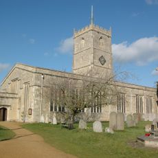
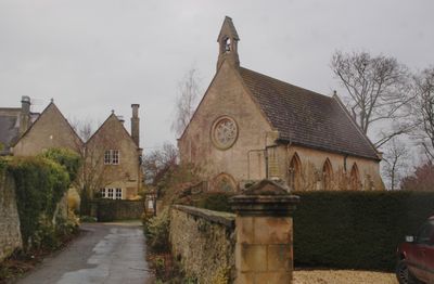
Church of St Andrew
2.2 km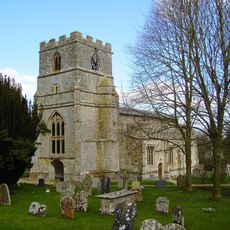
Parish Church of St Mary
3.6 km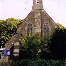
Church of St Thomas
3.5 km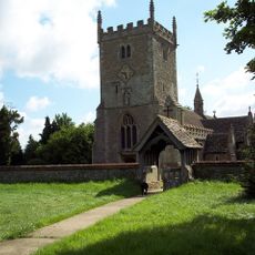
Church of St Mary Magdalen
3.7 km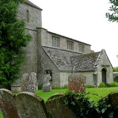
Church of St Swithin
3.8 km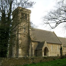
Church of St James
4 km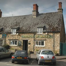
Prince Of Wales Public House
2.1 km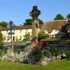
Ashbury War Memorial
3.8 km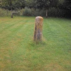
Milestone On Friars Hill
4.1 km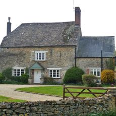
36, Sevenhampton
4.2 km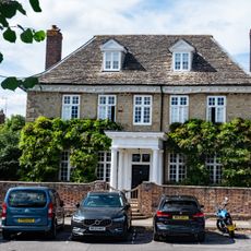
Elm Tree House
2.1 km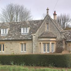
Barnacle Lodge
2.3 km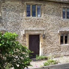
Sevenhampton House
4 km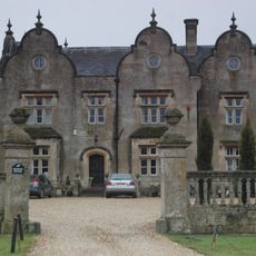
Bourton Grange
356 m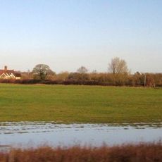
Cowleaze Farmhouse
1.6 km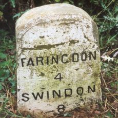
Milestone, Faringdon Road; just W of roundabout to Royal Military College of Science
4.1 km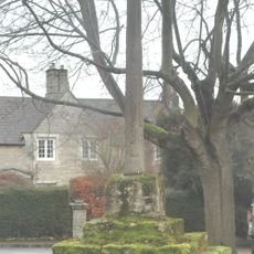
Bourton village cross
94 m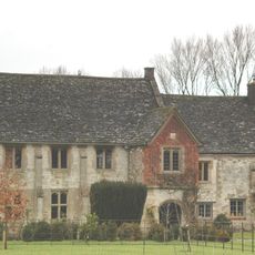
The Manor House
3.6 km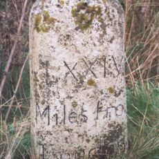
Milestone, by-pass slip lane on traffic island where old road goes towards RMCS
4.3 km
Milestone, Longcot Road; Home Farm, opp. second entrance to farm
3.2 km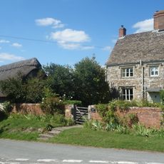
Trip The Daisy
3.8 km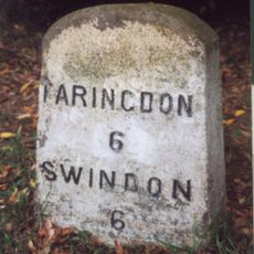
Milestone, Townsend Road; at entrance to Ryme's House
1.4 km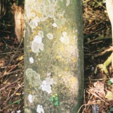
Milestone, hill above Westmill Farm
3.9 km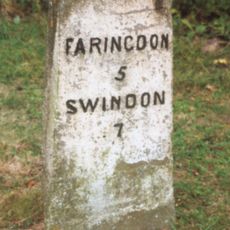
Milestone, Faringdon Road; Shrivenham Golf Club entrance
2.6 km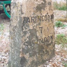
Milestone, by Frenchfields ornamental fish shop (was Acorn End), E of Acorn railway bridge
1.3 km
Milestone, Ruffinswick Farm, S of Railway
3.6 km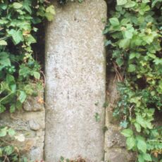
Milestone, Longcot Road; opp. Green Gables, just after roundabout
2.3 kmVisited this place? Tap the stars to rate it and share your experience / photos with the community! Try now! You can cancel it anytime.
Discover hidden gems everywhere you go!
From secret cafés to breathtaking viewpoints, skip the crowded tourist spots and find places that match your style. Our app makes it easy with voice search, smart filtering, route optimization, and insider tips from travelers worldwide. Download now for the complete mobile experience.

A unique approach to discovering new places❞
— Le Figaro
All the places worth exploring❞
— France Info
A tailor-made excursion in just a few clicks❞
— 20 Minutes