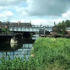
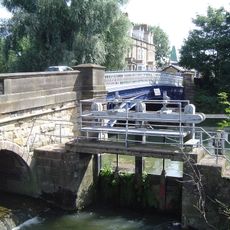
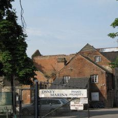
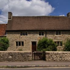
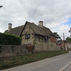
North Hinksey, village and civil parish in Vale of White Horse district, Oxfordshire, England
Location: Botley and North Hinksey
Shares border with: Oxford, Wytham, Cumnor, South Hinksey
GPS coordinates: 51.74900,-1.29200
Latest update: March 3, 2025 21:44
Osney Abbey
1.4 km
St Thomas the Martyr's Church, Oxford
1.6 km
Osney Lock
1.4 km
Rewley Road Swing Bridge
1.7 km
Osney Bridge
1.4 km
Rewley Abbey
1.7 km
St Frideswide's Church
1.2 km
Isis Lock
1.8 km
Sheepwash Channel
1.6 km
Church of St Lawrence
618 m
Sheepwash Channel Railway Bridge
1.6 km
Osney Mill
1.4 km
Bulstake Bridge
837 m
Botley Bridge
481 m
Bridge At North End Of Street Forming The Junction With Botley Road
1.3 km
St Peter and St Paul
534 m
Memorial 300 yards south of Osney Lock
1.7 km
Osney footbridge
1.6 km
Oxford Canal Roving Bridge (243) At Isis Lock
1.7 km
13 And 15, North Hinksey Lane
380 m
Cooper's Marmalade Factory
1.7 km
The Old Manor House
146 m
Chest Tomb Approximately 3 Metres South Of Chancel Of Church Of St Lawrence
627 m
Chest Tomb Approximately 2 Metres South Of Nave And 6 Metres East Of South Porch Of Church Of St Lawrence
624 m
South View
440 m
Botley Cemetery Stone of Remembrance
160 m
Churchyard Cross Approximately 15 Metres South Of Church Of St Lawrence
636 m
Well House,approximately 160 Metres South East Of The Fold
949 mReviews
Visited this place? Tap the stars to rate it and share your experience / photos with the community! Try now! You can cancel it anytime.
Discover hidden gems everywhere you go!
From secret cafés to breathtaking viewpoints, skip the crowded tourist spots and find places that match your style. Our app makes it easy with voice search, smart filtering, route optimization, and insider tips from travelers worldwide. Download now for the complete mobile experience.
A unique approach to discovering new places❞
— Le Figaro
All the places worth exploring❞
— France Info
A tailor-made excursion in just a few clicks❞
— 20 Minutes