
Firbeck, village in South Yorkshire, UK
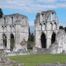
Roche Abbey
2.3 km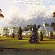
Sandbeck Park
2 km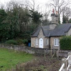
Hermeston Hall
2.7 km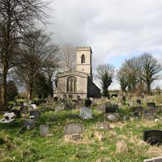
St John's Church, Throapham
4 km
St Luke's Church, Langold
2.9 km
St Peter's Church, Letwell
1.4 km
St Mark's Church
2.5 km
Church of St Martin
37 m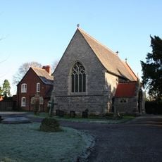
Church of St Helen
2.9 km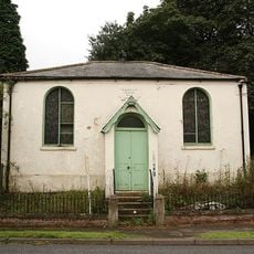
Wesleyan Chapel
2.9 km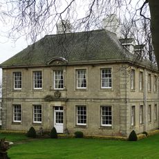
Slade Hooton Hall
3.9 km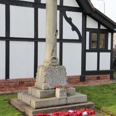
Oldcotes War Memorial
2.5 km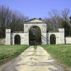
Malpas Hill Gateway
3.2 km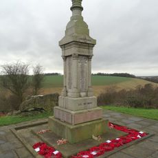
Maltby War Memorial
4.3 km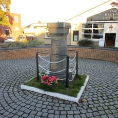
Langold War Memorial
2.8 km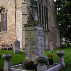
Laughton en le Morthen War Memorial
4.5 km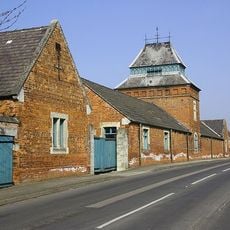
Range Of Farm Buildings At Manor Farm
3.1 km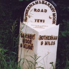
Milepost At East End Of Stone Green
1.5 km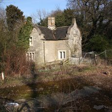
West Lodge (To Firbeck Hospital)
570 m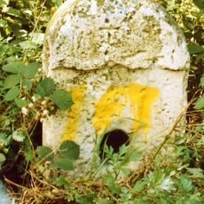
Milestone, nr entrance to Maltby Colliery
3.9 km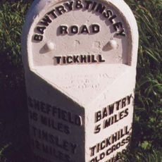
Milestone, top of hill, E of Blyth Gate Lane
4.4 km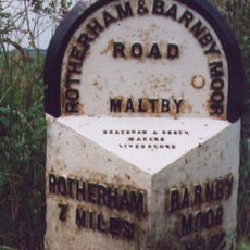
Milepost Approximately 30 Metres South Of Junction With Morrell Street
4.4 km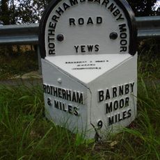
Milepost Approximately 160 Metres North West Of Junction With Gypsy Lane
2.8 km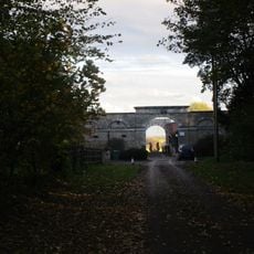
Enclosure And Outbuildings To Farmyard At Hodsock Grange
3 km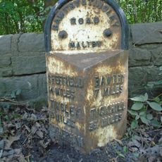
Milepost Approximately 50 Metres West Of Entrance To Maltby Colliery
3.9 km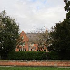
Manor Farm Farmhouse
3.1 km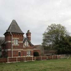
East Lodge
3.1 km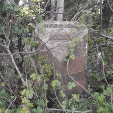
Milepost, N of track to Goldthorpe Farm; between Oldcotes (A634 jct) and Langold
2.6 kmVisited this place? Tap the stars to rate it and share your experience / photos with the community! Try now! You can cancel it anytime.
Discover hidden gems everywhere you go!
From secret cafés to breathtaking viewpoints, skip the crowded tourist spots and find places that match your style. Our app makes it easy with voice search, smart filtering, route optimization, and insider tips from travelers worldwide. Download now for the complete mobile experience.

A unique approach to discovering new places❞
— Le Figaro
All the places worth exploring❞
— France Info
A tailor-made excursion in just a few clicks❞
— 20 Minutes