
Whaddon, a village located in South Cambridgeshire, United Kingdom
Location: South Cambridgeshire
GPS coordinates: 52.10023,-0.03061
Latest update: March 6, 2025 05:55
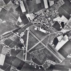
RAF Bassingbourn
1.5 km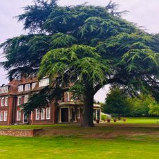
Kneesworth House School
2.5 km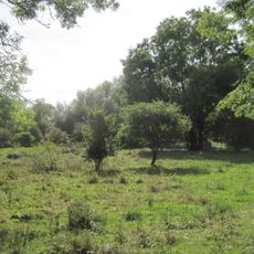
L-Moor, Shepreth
3.7 km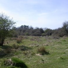
L-moor, Shepreth
3.7 km
Parish Church of All Saints
3.6 km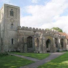
Church of Holy Trinity
2.8 km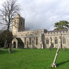
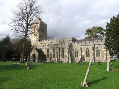
Parish Church of St Mary
112 m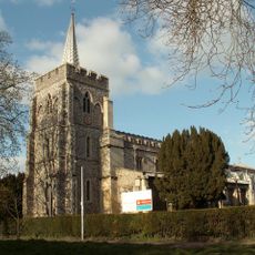
Parish Church of St Peter and St Paul
3.1 km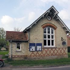
All Saints (Shingay-cum-Wendy Parish Church)
2.9 km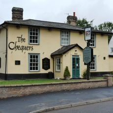
The Chequers Public House
3.9 km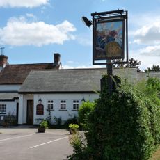
British Queen Public House
2.6 km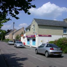
Post Office
2.7 km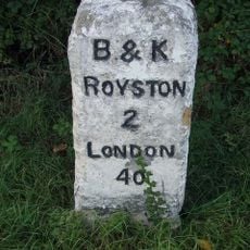
Milestone Circa 160 Metres East Of Bellevue Farm
2.9 km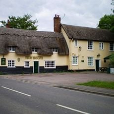
The Hoops Public House
2.8 km
Melbourn War Memorial
3.7 km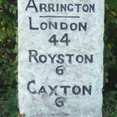
Milestone, Corner Of Ermine Way And Potton Road
3.1 km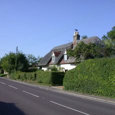
Acacia Cottage Rose Cottage
4.1 km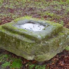
Base Of Cross
2.5 km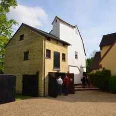
Mill House
2.8 km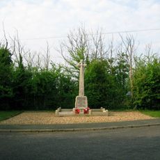
Wimpole and Arrington War Memorial
2.8 km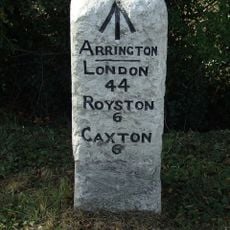
Milestone 60m north-east of Arrington Nurseries
3.8 km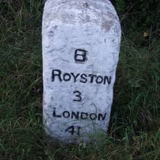
Milestone Circa 15 Metres South Of Bassingbourn Barracks
1.6 km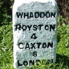
Milestone Circa 10 Metres From South End Of Wimpole Avenue
1.1 km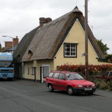
101, 103, High Street
3.7 km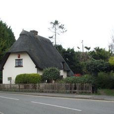
10, Station Road
3.6 km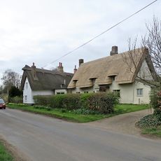
Homeland
2.6 km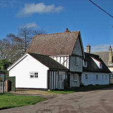
22, Lotfield Street
3.7 km
Milestone Near The Beeches And Craden Old Farm
3.9 kmVisited this place? Tap the stars to rate it and share your experience / photos with the community! Try now! You can cancel it anytime.
Discover hidden gems everywhere you go!
From secret cafés to breathtaking viewpoints, skip the crowded tourist spots and find places that match your style. Our app makes it easy with voice search, smart filtering, route optimization, and insider tips from travelers worldwide. Download now for the complete mobile experience.

A unique approach to discovering new places❞
— Le Figaro
All the places worth exploring❞
— France Info
A tailor-made excursion in just a few clicks❞
— 20 Minutes