
Drayton, village and civil parish in Cherwell, Oxfordshire, United Kingdom
Location: Cherwell
Shares border with: Hanwell, Wroxton, North Newington, Banbury
GPS coordinates: 52.07200,-1.37500
Latest update: March 2, 2025 21:55
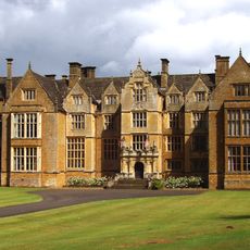
Wroxton Abbey
1.3 km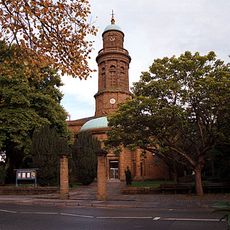
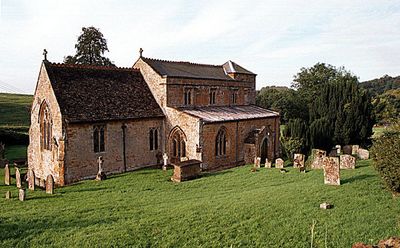
Church of St Mary
2.7 km
Primary schools in Banbury
2.7 km
Roebuck Inn
249 m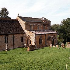
Church of St Peter
167 m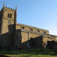
Church of All Saints, Wroxton
1.2 km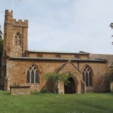
Church of St Peter
2 km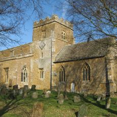
Church of St Ethelreda
2.6 km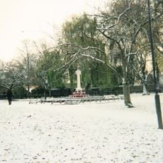
Banbury War Memorial In The People's Park
2.5 km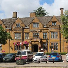
Whately Hall Hotel
2.7 km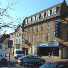
Odeon Banbury
2.7 km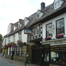
Ye Olde Reine Deer Inn
2.8 km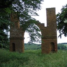
Drayton Arch Approximately 300 Metres To South Of Park Farmhouse
618 m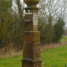
Stone Guide Post
2 km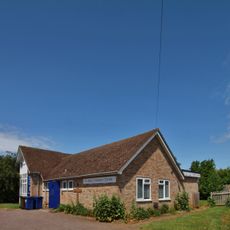
St Paul's Church Centre
1.3 km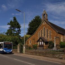
Saint Paul's
2.2 km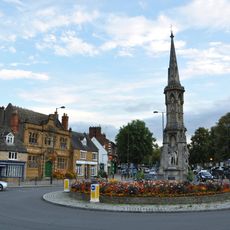
Banbury Cross
2.7 km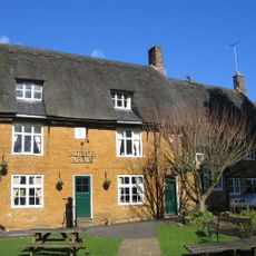
The North Arms Public House
1.5 km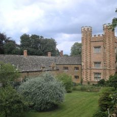
Hanwell Castle
2 km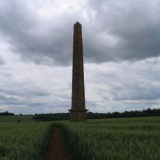
Obelisk Approximately 400 Metres South East Of Wroxton College
1.1 km
Manor House
2.5 km
Linden House
2.7 km
Banbury Cross Tobacconist Marshall's R S Malcolm
2.8 km
F B Hancock Solicitors
2.7 km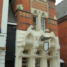
Rain Restaurant And Wine Bar
2.8 km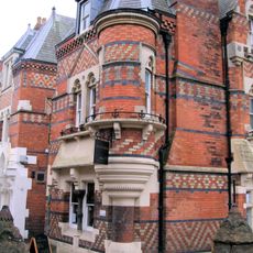
Dodd Insurance Brokers
2.8 km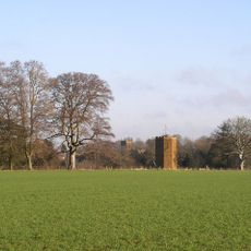
Dovecote Approximately 200 Metres South West Of Wroxton College
1.5 km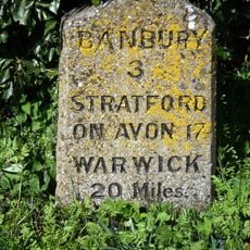
Milestone, Stratford Road; opp. White Horse PH
1.4 kmVisited this place? Tap the stars to rate it and share your experience / photos with the community! Try now! You can cancel it anytime.
Discover hidden gems everywhere you go!
From secret cafés to breathtaking viewpoints, skip the crowded tourist spots and find places that match your style. Our app makes it easy with voice search, smart filtering, route optimization, and insider tips from travelers worldwide. Download now for the complete mobile experience.

A unique approach to discovering new places❞
— Le Figaro
All the places worth exploring❞
— France Info
A tailor-made excursion in just a few clicks❞
— 20 Minutes