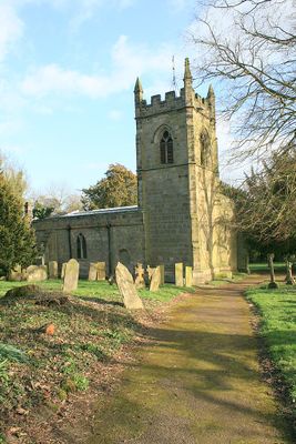
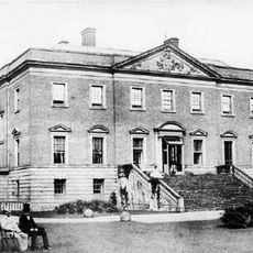
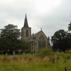
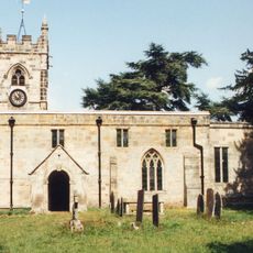
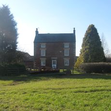
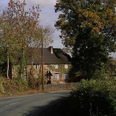
Radbourne, village and civil parish in South Derbyshire District, Derbyshire, England
Location: South Derbyshire
Shares border with: Kirk Langley, Dalbury Lees, Etwall, Bearwardcote, Burnaston, City of Derby, Mackworth
GPS coordinates: 52.92300,-1.58000
Latest update: March 4, 2025 22:23
Radbourne Hall
703 m
Mackworth Castle
3.4 km
All Saints' Church, Mackworth
4 km
St Andrew's Church, Radbourne
376 m
Church of St Helen
4.5 km
St Barnabas' Church, Derby
5.3 km
All Saints' Church, Dalbury
2.8 km
Church of St Michael
2.6 km
Christ Church, Long Lane
3.6 km
Church of All Saints
3 km
All Saints Church
3.1 km
Church of St Peter
5.3 km
Lion Statue
4.9 km
Church At Pastures Hospital
3.5 km
Monument To Michael Drayton
4.9 km
Littleover War Memorial
5.4 km
Mickleover War Memorial
3.1 km
Old Hall
3.1 km
161, Ashbourne Road
5.4 km
Horse trough to south west of Ye Olde Cottage
5.2 km
Gatehouse to Mackworth Castle
3.4 km
Milepost At Os 293 387
2.6 km
Former Derbyshire Rifle Volunteers' Barracks
5.4 km
Derby Independent Grammar School
4.7 km
Lower Vicarwood
4.4 km
Old School House
4.2 km
Section of Rykneld Street Roman road and remains of Bronze Age cemetery at Littleover
4.7 km
The Summer House
4.8 kmReviews
Visited this place? Tap the stars to rate it and share your experience / photos with the community! Try now! You can cancel it anytime.
Discover hidden gems everywhere you go!
From secret cafés to breathtaking viewpoints, skip the crowded tourist spots and find places that match your style. Our app makes it easy with voice search, smart filtering, route optimization, and insider tips from travelers worldwide. Download now for the complete mobile experience.
A unique approach to discovering new places❞
— Le Figaro
All the places worth exploring❞
— France Info
A tailor-made excursion in just a few clicks❞
— 20 Minutes