
Drayton, village and civil parish in Vale of White Horse district, Oxfordshire, England
Location: Vale of White Horse
Shares border with: East Hanney, Steventon, Milton, Sutton Courtenay, Abingdon-on-Thames, Marcham, St. Helen Without
Website: http://draytonvillage.co.uk
GPS coordinates: 51.64700,-1.31300
Latest update: April 27, 2025 15:44
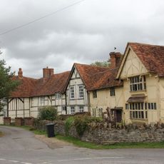
Priory Cottages
3.2 km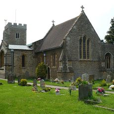
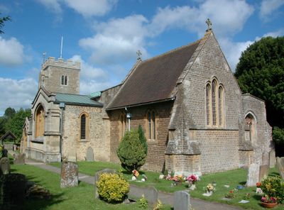
Church of Saint Peter
532 m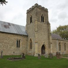
Church of St Michael and All Angels
3.3 km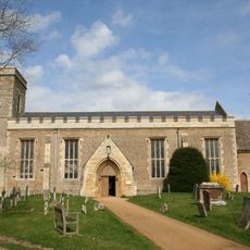
Church of All Saints, Marcham
3.4 km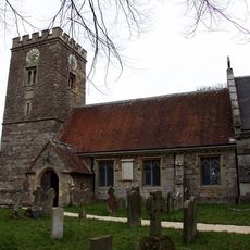
Church of St Blaise
2.2 km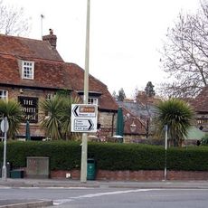
White Horse Public House
2.8 km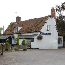
The North Star Public House
2.8 km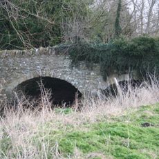
Bridge approximately 50 metres south east of Marcham Mill
2.1 km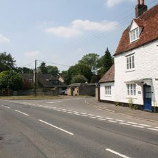
The White Hart Public House
3.1 km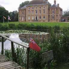
Milton Manor House
2.2 km
Reeves and Sons
2.8 km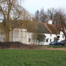
Marcham Mill
2.1 km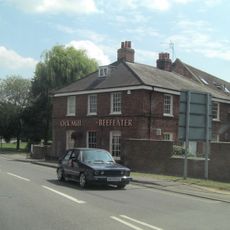
Ock Mill House
2.7 km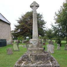
Churchyard Cross Approximately 10 Metres North Of Church Of St Michael And All Angels
3.3 km
Frilford Garford and Marcham War Memorial
3.1 km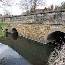
Ock Bridge
2.7 km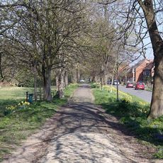
Raised Causeway
2.7 km
39, The Causeway
2.7 km
69, High Street
656 m
44, High Street
566 m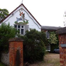
Number 15 And Attached Stable Block
405 m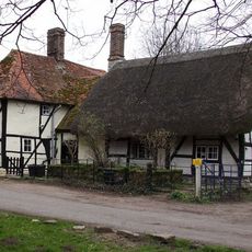
42a And 42b, High Street
2.3 km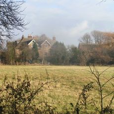
Marcham Priory
2.8 km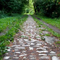
Raised Causeway
2.4 km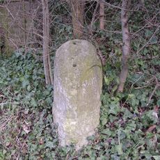
Milestone At Su 4791 9487
497 m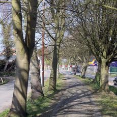
Raised Causeway
3 km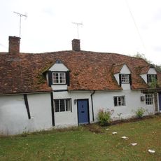
83 And 85, The Causeway
2.9 km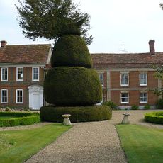
The Manor House
723 mVisited this place? Tap the stars to rate it and share your experience / photos with the community! Try now! You can cancel it anytime.
Discover hidden gems everywhere you go!
From secret cafés to breathtaking viewpoints, skip the crowded tourist spots and find places that match your style. Our app makes it easy with voice search, smart filtering, route optimization, and insider tips from travelers worldwide. Download now for the complete mobile experience.

A unique approach to discovering new places❞
— Le Figaro
All the places worth exploring❞
— France Info
A tailor-made excursion in just a few clicks❞
— 20 Minutes