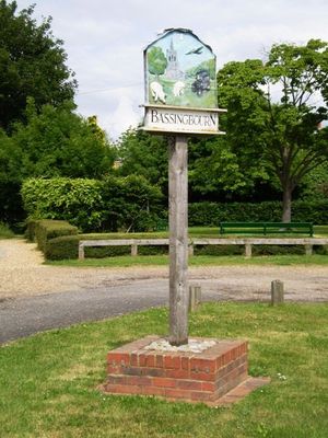
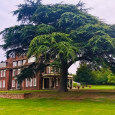
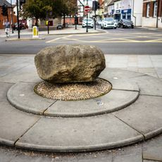
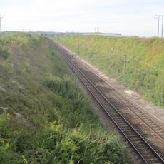
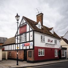
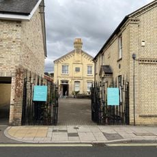
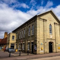
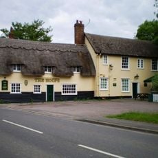
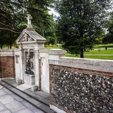
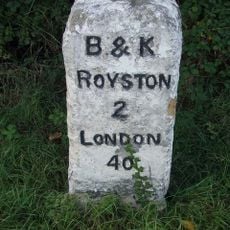
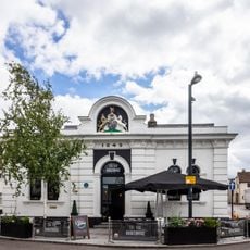
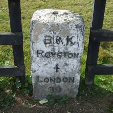
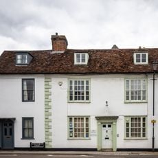
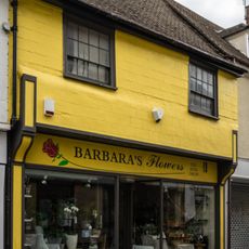
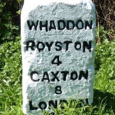
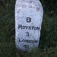
Bassingbourn cum Kneesworth, civil parish in the South Cambridgeshire district of Cambridgeshire, England
Location: South Cambridgeshire
GPS coordinates: 52.07750,-0.05920
Latest update: March 6, 2025 12:40
Royston Cave
4.1 km
RAF Bassingbourn
2.1 km
Church of St John the Baptist, Royston, Hertfordshire
4.1 km
Kneesworth House School
2 km
Roisia's Cross
4.1 km
Holland Hall
3.4 km
Parish Church of St Mary
3.3 km
Parish Church of St Peter and St Paul
170 m
The Coach And Horses Inn
4 km
Royston Museum
3.9 km
The Banyers Hotel
4.1 km
Royston Picture Palace
4.2 km
Barclays Bank
4.1 km
Royston Manor House
4.1 km
The Hoops Public House
507 m
War Memorial
4.2 km
Milestone Circa 160 Metres East Of Bellevue Farm
1.7 km
4, High Street
4.1 km
The Old Courthouse
4.2 km
Milestone Circa 150 Metres North Of York Way, Royston, Hertfordshire
2.9 km
28, Kneesworth Street
3.9 km
6, High Street
4.1 km
Milestone Circa 10 Metres From South End Of Wimpole Avenue
2.8 km
Milestone Circa 15 Metres South Of Bassingbourn Barracks
1.7 km
18 And 20, High Street
4.1 km
8, High Street
4.1 km
23, Kneesworth Street
3.9 km
18, Melbourn Street
4.1 kmVisited this place? Tap the stars to rate it and share your experience / photos with the community! Try now! You can cancel it anytime.
Discover hidden gems everywhere you go!
From secret cafés to breathtaking viewpoints, skip the crowded tourist spots and find places that match your style. Our app makes it easy with voice search, smart filtering, route optimization, and insider tips from travelers worldwide. Download now for the complete mobile experience.
A unique approach to discovering new places❞
— Le Figaro
All the places worth exploring❞
— France Info
A tailor-made excursion in just a few clicks❞
— 20 Minutes