
Fulbrook, village and civil parish in Oxfordshire, UK
Location: West Oxfordshire
Shares border with: Shipton-under-Wychwood, Swinbrook and Widford
Website: http://fulbrookvillage.net
GPS coordinates: 51.81500,-1.62500
Latest update: March 6, 2025 09:33
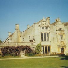
Burford Priory
1.1 km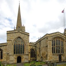
Church of St John the Baptist, Burford
868 m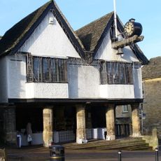
The Tolsey
1.2 km
Burford Methodist Church
1.1 km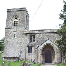
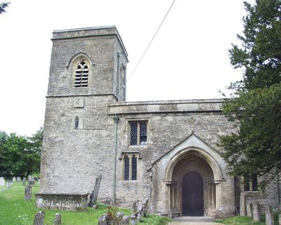
Church of Saint James the Great
115 m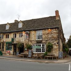
The Cotswold Arms Inn
1 km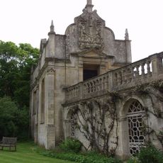
Chapel Of St John
1.2 km
Warwick Hall
908 m
Link Between The Priory And Lenthall's Chapel
1.1 km
The Lamb Hotel And Attached Mounting Block
1.2 km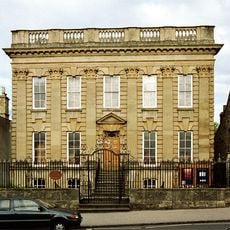
Forecourt Walls, Railings, Gates And Alleyway Gateway Of Methodist Church
1.1 km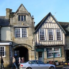
The Former George Inn
1.2 km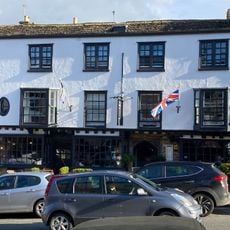
The Highway Hotel
1.2 km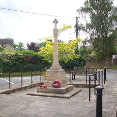
Fulbrook War Memorial
93 m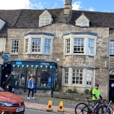
Burford Library
1.1 km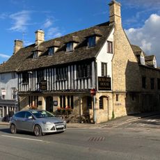
Corner House Hotel
1.1 km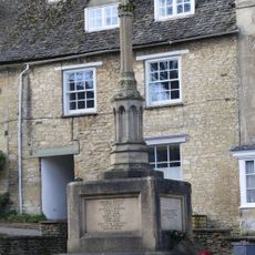
Burford War Memorial, Oxfordshire
1.3 km
Brewery And Malthouse To Rear
1.2 km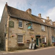
The Royal Oak Public House
1.1 km
Oxford Knitwear Wj Castle (butchers)
1.2 km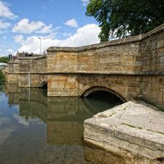
Bridge Over River Windrush
916 m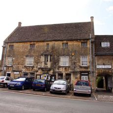
Falkland Hall
1 km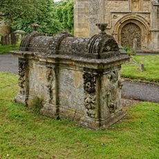
Robert Aston Tomb About 10 Metres South Of South West Corner Of Church Of St John
898 m
Cotswold Bookshop and Windrush Valley Cleaners
1 km
The House Of Simon
1.2 km
9-11 Old George Yard
1.2 km
Swan Gallery
1.2 km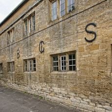
Burford Grammar School (main part including Lenthall House)
927 mVisited this place? Tap the stars to rate it and share your experience / photos with the community! Try now! You can cancel it anytime.
Discover hidden gems everywhere you go!
From secret cafés to breathtaking viewpoints, skip the crowded tourist spots and find places that match your style. Our app makes it easy with voice search, smart filtering, route optimization, and insider tips from travelers worldwide. Download now for the complete mobile experience.

A unique approach to discovering new places❞
— Le Figaro
All the places worth exploring❞
— France Info
A tailor-made excursion in just a few clicks❞
— 20 Minutes