
Idbury, village and civil parish in West Oxfordshire, Oxfordshire, England
Location: West Oxfordshire
Shares border with: Churchill, Fifield, Sarsden
GPS coordinates: 51.88100,-1.66100
Latest update: March 10, 2025 23:11
Icomb Place
3.2 km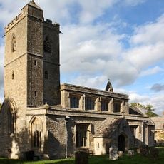
Church of St Leonard
2.5 km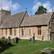
Church of St Laurence
4.4 km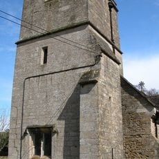
Church of St Mary
3.1 km
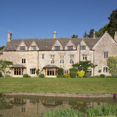
Bruern Abbey
3.3 km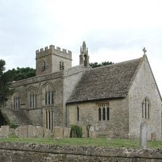
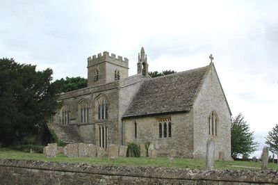
Church of St Nicholas
340 m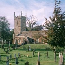
Church of St Andrew
4.2 km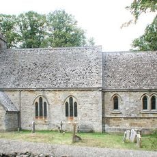
Church of St Mary
1.5 km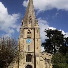
Church of St Mary, Shipton-under-Wychwood
5.1 km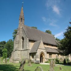
Church of St Simon and St Jude
3.5 km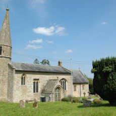
Church of St John the Baptist
1.7 km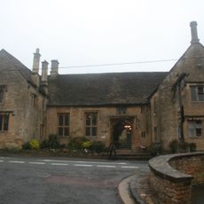
Shaven Crown Hotel
5.1 km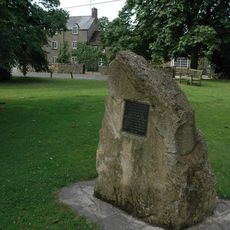
Kingham Memorial Stone
4.7 km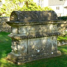
Morgan Bale Tomb About 3 Yards East Of Church Of St Mary
5.1 km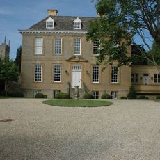
Kingham House
4.2 km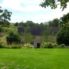
Tangley Hall
3.4 km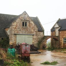
Barn And Adjoining Stable Garage Circa 6 Metres North West Of Gawcombe House
2.5 km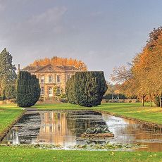
Bruern Abbey
3.1 km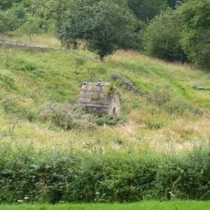
Well House Approximately 20 Metres South East Of Tangley Hall
3.5 km
House Immediately To North East Of Trinder's Farmhouse
4.7 km
Bobble Farmhouse And Attached Ourbuildings And Barn At Rear
4.3 km
Manor Farmhouse and Front Boundary Wall
845 m
The Old Prebendal
5.1 km
Icomb War Memorial
3.2 km
Idbury Camp hillfort
948 m
Gilberts Farmhouse
2.7 km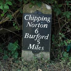
Milestone, Station Road; 20m S of turn to Shipton Mill
5.2 km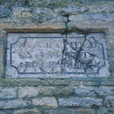
Guidestone, Plum Lane; corner of Shipton Court
5.1 kmVisited this place? Tap the stars to rate it and share your experience / photos with the community! Try now! You can cancel it anytime.
Discover hidden gems everywhere you go!
From secret cafés to breathtaking viewpoints, skip the crowded tourist spots and find places that match your style. Our app makes it easy with voice search, smart filtering, route optimization, and insider tips from travelers worldwide. Download now for the complete mobile experience.

A unique approach to discovering new places❞
— Le Figaro
All the places worth exploring❞
— France Info
A tailor-made excursion in just a few clicks❞
— 20 Minutes