
Brandesburton, village and civil parish in the East Riding of Yorkshire, England
Location: East Riding of Yorkshire
GPS coordinates: 53.91213,-0.30021
Latest update: March 3, 2025 02:29
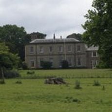
Wassand Hall
5.8 km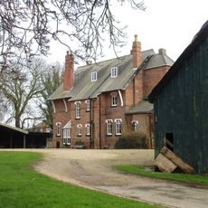
The Old Vicarage
5.4 km
Nunkeeling Priory
3.3 km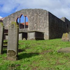
Church of Saint Mary Magdalene and Saint Helena
3.8 km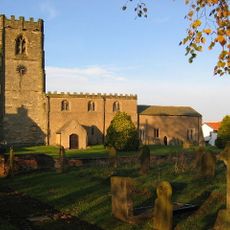
Church of St Andrew
8.4 km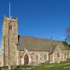
Church of St Michael
2.6 km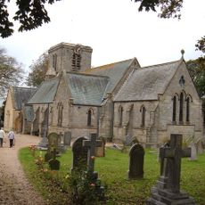
Holy Trinity Church
2.6 km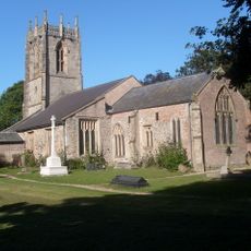
Church of St Leonard
6.9 km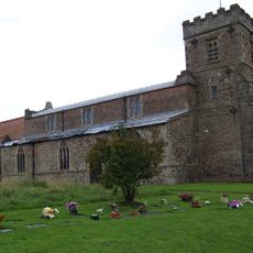
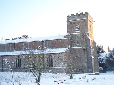
Church of St Mary
214 m
Church of St Margaret
4.9 km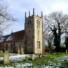
Church of All Saints
5.7 km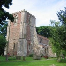
Church of St Lawrence
4.1 km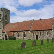
Church of St Elgin
6.5 km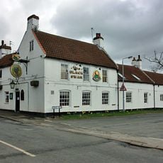
Black Swan Public House
72 m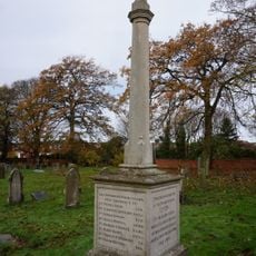
Leven War Memorial in the Churchyard of Holy Trinity Church
2.5 km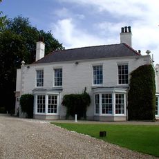
Tickton Grange
7 km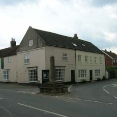
Market Cross
6 km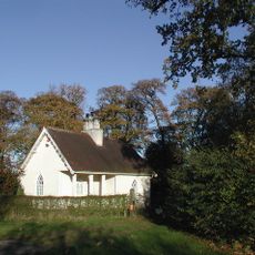
Lodge To Wassand Hall
5.2 km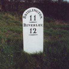
Milestone, Jct. of Dunnington Lane
5.6 km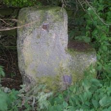
Milestone, half way between Routh and White Cross TI
4.4 km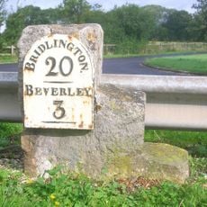
Milestone, by access road to Environment Agency
6.9 km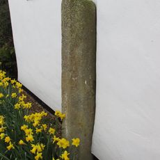
Wayside Cross
3.6 km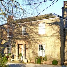
Seaton House
4.7 km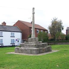
Market Cross
54 m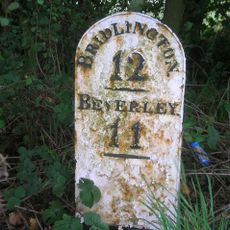
Milestone, Between Grange Road and track to Moor Grange
4 km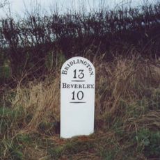
Milestone, 200m N of Moorside Farm entrance
2.3 km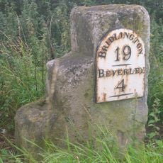
Milestone, W of Meaux Lane
5.8 km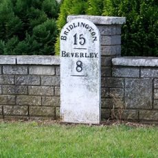
Milestone, Brandesburton, New Road adjacent to Elmfield Drive
460 mReviews
Visited this place? Tap the stars to rate it and share your experience / photos with the community! Try now! You can cancel it anytime.
Discover hidden gems everywhere you go!
From secret cafés to breathtaking viewpoints, skip the crowded tourist spots and find places that match your style. Our app makes it easy with voice search, smart filtering, route optimization, and insider tips from travelers worldwide. Download now for the complete mobile experience.

A unique approach to discovering new places❞
— Le Figaro
All the places worth exploring❞
— France Info
A tailor-made excursion in just a few clicks❞
— 20 Minutes