
Irchester, village in Northamptonshire, United Kingdom
Location: North Northamptonshire
Shares border with: Wellingborough
Website: http://irchester.org
GPS coordinates: 52.27830,-0.65550
Latest update: March 3, 2025 21:59
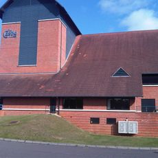
Castle Theatre
3.3 km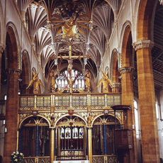
Church of St Mary the Virgin
3.2 km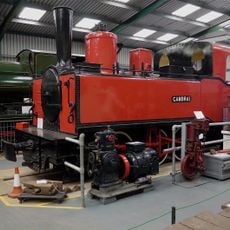
Irchester Narrow Gauge Railway Museum
1.5 km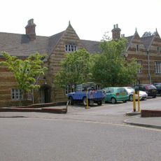
Croyland Abbey, Wellingborough
3.5 km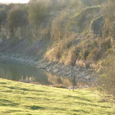
Finedon Top Lodge Quarry
4.7 km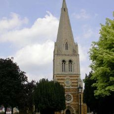
Church of All Hallows
3.7 km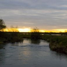
Upper Nene Valley Gravel Pits
4.1 km
Ditchford Lakes and Meadows
2.7 km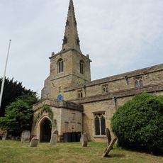
Church of St Mary, Podington
3.5 km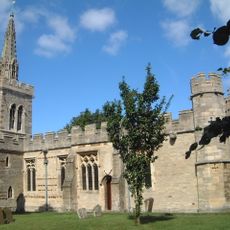
Church of St Lawrence, Wymington
3.8 km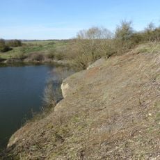
Irchester Old Lodge Pit
525 m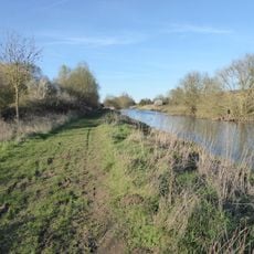
Higham Ferrers Pits
4.7 km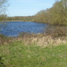
Wilson's Pits
3.7 km
Wollaston Meadows
2.1 km
Chester House
1.5 km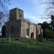
Church of St Michael and All Saints
1.9 km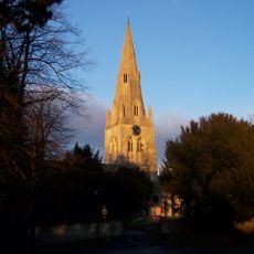
Church of St Mary
2.4 km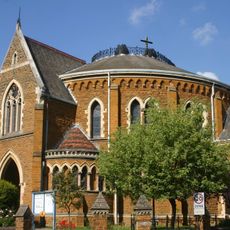
United Reformed Church
3.9 km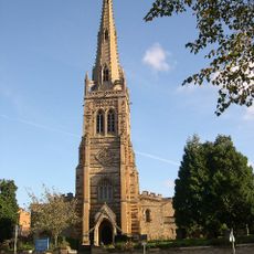
Church of St Mary, Rushden
4.1 km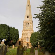
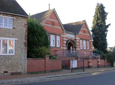
Church of St Katherine
1 km
Rushden War Memorial, Northamptonshire
4.1 km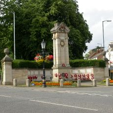
Wellingborough War Memorial
3.8 km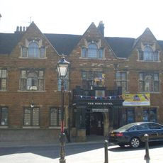
The Hind Hotel
3.6 km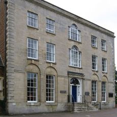
Swanspool House (Borough Of Wellingborough Council Offices)
3.4 km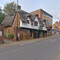
Tudor Restaurant
3.5 km
War Memorial and Attached Wall
4.1 km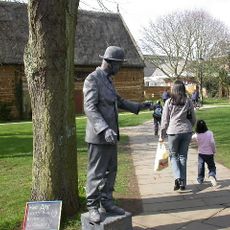
Tithe Barn
3.6 km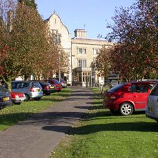
Knuston Hall Including Attached Outbuildings
2.2 kmVisited this place? Tap the stars to rate it and share your experience / photos with the community! Try now! You can cancel it anytime.
Discover hidden gems everywhere you go!
From secret cafés to breathtaking viewpoints, skip the crowded tourist spots and find places that match your style. Our app makes it easy with voice search, smart filtering, route optimization, and insider tips from travelers worldwide. Download now for the complete mobile experience.

A unique approach to discovering new places❞
— Le Figaro
All the places worth exploring❞
— France Info
A tailor-made excursion in just a few clicks❞
— 20 Minutes